Loading…

Red Spouter
Free — you'll pick up right here.
Watch this trail
Sign up to watch it — saving subscribes you to gate, closure and report changes.
Wyoming
We won't guess. Here is exactly what we do and don't know.
What we do know
Inside Yellowstone National Park
National Park unit boundary is mapped — agency alerts for it feed this page automatically.
Boundary data
What's missing
No access route mapped
We don't yet know which road reaches this trailhead, so we can't tell you if it's gated.
Nobody's filed a report here yet — be the first.
Red Spouter
AI-suggested draft · review before you go
No elevation data on file for this trail.
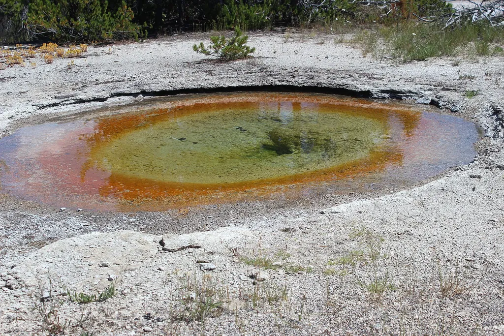
Red Spouter formed as a direct result of the 1959 Hebgen Lake Earthquake. A vent opened up in this spot, which then turned into a mudpot. This hydrothermal feature does change seasonally, depending on the height of the water table beneath the surface. When the water table is high, it bubbles as a mudpot. When the water table drops, it reverts back to its origins as a fumarole. Mudpots Mudpots are acidic features with a limited water supply. Some microorganisms use hydrogen sulfide, which rises from deep within the earth, as an energy source. They help convert the gas to sulfuric acid, which breaks down rock to wet clay mud and creates the area’s smell. The pungent odor of rotten eggs is caused by the hydrogen sulfide gas. Various gases escape through the wet clay mud, causing it to bubble. Mudpot consistency and activity vary with the seasons and precipitation. Fountain Paint Pot Area Hydrothermal features can be grouped into two general categories: those with a great deal of water (hot springs and geysers) and those with limited water (mudpots and fumaroles). Despite their structural similarities, no two features are exactly alike. All of these features occur in the Fountain Paint Pot area. Thermus aquaticus, the thermophile that revolutionized DNA replication processes, was discovered in this area. Lower Geyser Basin The Lower Geyser Basin sits on unstable glacial gravel on top of solid rock. The jarring energy of an earthquake can make the gravel vibrate and shift position, and compact or fracture. All these changes affect water supplies to hot springs. They might force muddy water to the surface, clouding existing pools or creating new ones. They might divert water from a pool, causing it to dry up. Water temperatures might also increase or decrease due to these subsurface changes. In the days after the Hebgen Lake earthquake of 1959, all of these changes were observed in various springs of the Firehole River geyser basins. The epicenter (point of origin) of the quake was determined to be about 31 air miles (50 km) northwest of the Fountain Paint Pots area. Great Fountain Geyser, on the Firehole Lake Drive, is the only geyser outside of the Old Faithful area with eruption forecasts. Use Caution in Hydrothermal Areas Stay on boardwalks and designated trails. Hydrothermal water can severely burn you. Never run, push, or shove. Supervise children at all times. Do not scratch hydrothermal mats. You are responsible for your safety. Think safety, act safely. Yellowstone is a dangerous place.
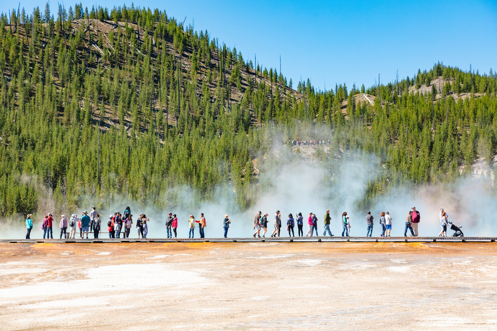
Midway Geyser Basin Trailhead
~4 min drive
Midway Geyser Basin is small but spectacular. Excelsior Geyser is a 200 x 300 foot crater that constantly discharges more than 4,000 gallons of water per minute into the Firehole River. Grand Prismatic Spring, Yellowstone’s largest hot spring, is 200–330 feet in diameter and…

Fairy Falls Trail
~5 min drive
15 mi · Hard
Firehole Canyon Swimming Area
~9 min drive
<p><span style="color:#c03b2b;"><strong>CLOSED FOR THE 2025 SEASON.</strong></span><br /> <br /> The river is usually closed to swimming until mid-summer due to high water and strong currents. During years with significant snowpack and runoff, the swim area may remain closed f…

Purple Mountain Trail
~12 min drive
6.7 mi · Moderate
Grand Prismatic Spring
~4 min drive
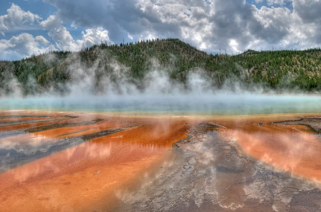
<p>Grand Prismatic Spring, Yellowstone’s largest hot spring, is 200-330 feet in diameter and more than 121 feet deep.</p> <p>Limited parking, especially 10 am-6 pm. Located in Midway Geyser Basin.</p> <h2>Hot Springs</h2> <p>Hot springs are the most common hydrothermal feature…

Howard Eaton Trail
~24 min drive
22 mi · Hard
ESCAPE to Yellowstone Award Certificate
~10 min drive
<p>Congratulations! You have made it to the final stop along the ESCAPE to Yellowstone experience. Be proud! You have learned to build self-esteem and character, have tested your mental agility and physical fitness, and hopefully have had fun participating.</p> <p>Have your co…
Boundary Trail (Xc)
~28 min drive
Moderate 4.58-mile cross-country backcountry route through Montana wilderness.
Fairy Falls Trailhead (OK5)
~5 min drive
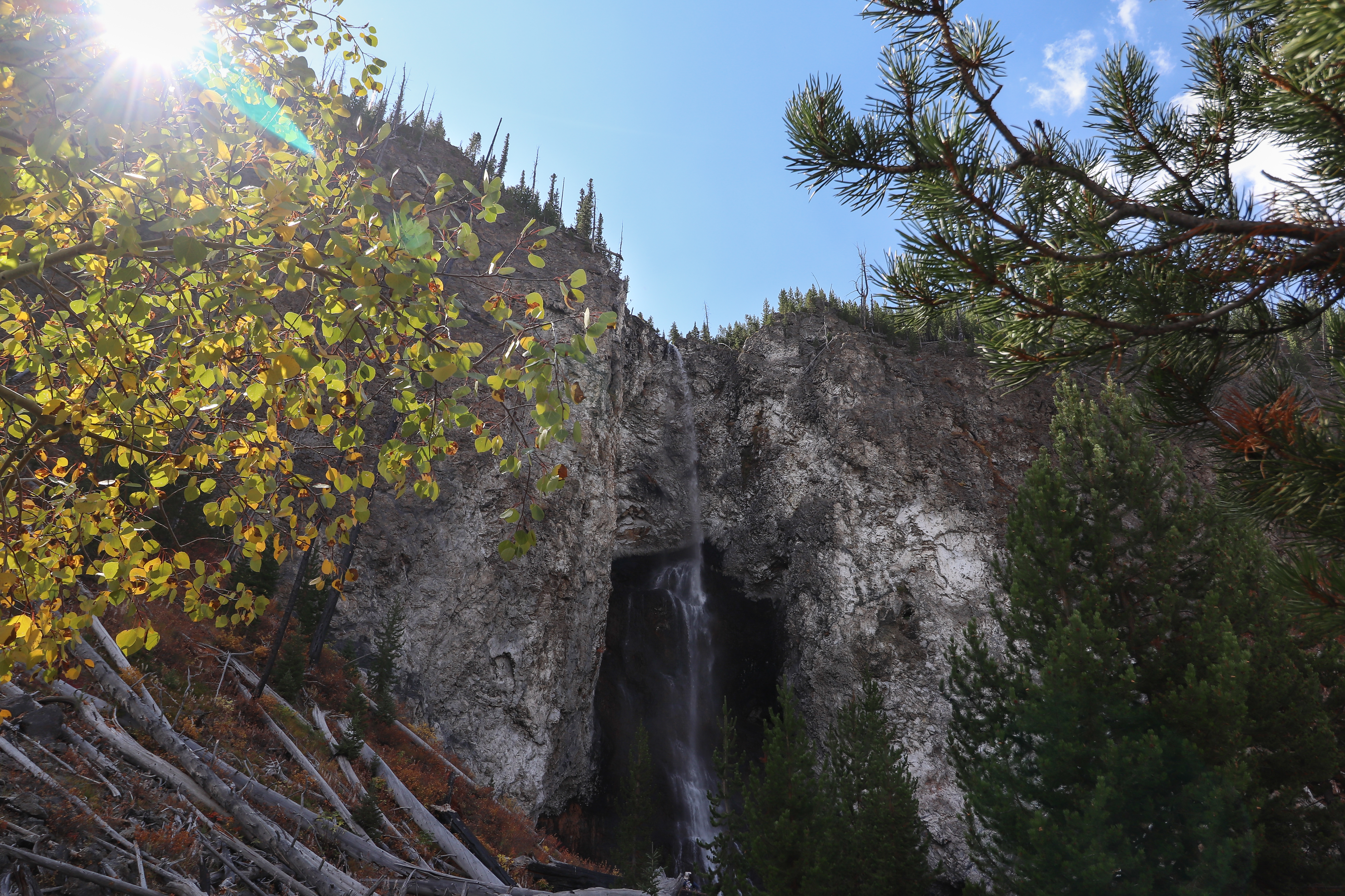
This trailhead provides access to the following trails: Grand Prismatic Overlook Trail Fairy Falls Trail Grand Prismatic Overlook Trail An easy 1.2-mile (1.9-km) hike that gradually climbs 105 feet over 0.6 miles from the Fairy Falls Trailhead to a view looking down on Gra…
South Plateau (Snowmo)
~28 min drive
16.5-mile plateau traverse with 1,704 ft gain through Montana backcountry.