Fumaroles
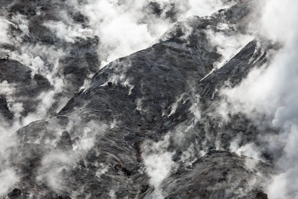 Photo: NPS / public domain
- Jul–Aug
- best months
Is Fumaroles open right now?
Closure in the area
There's a closure order in Yellowstone National Park. It doesn't name Fumaroles, so check the source for the area it covers (2 listed).
Most Park Roads Closed to All Vehicles
Park closure covering Yellowstone National Park · NPS · Yellowstone National Park
Biscuit Basin Closed Due to Hydrothermal Explosion
Park closure covering Yellowstone National Park · NPS · Yellowstone National Park
As of · Source: NPS · Yellowstone National Park. Agencies don't list every closure — check before you go.
The hiss and roar of a fumarole comes from gases—steam, carbon dioxide, and a little hydrogen sulfide—rushing from the ground through the vent. Its plumbing reaches down into the hot rock masses, but contains very little water. When water contacts the hot rock, it flashes into steam, increasing the water's volume 1,500 times and driving the gases from the vent. Fumaroles Fumaroles or steam vents, are the hottest hydrothermal features in the park. The limited amount of water flashes into steam before reaching the surface. The result is a loud hissing of steam and gases. Fountain Paint Pot Area Hydrothermal features can be grouped into two general categories: those with a great deal of water (hot springs and geysers) and those with limited water (mudpots and fumaroles). Despite their structural similarities, no two features are exactly alike. All of these features occur in the Fountain Paint Pot area. Thermus aquaticus, the thermophile that revolutionized DNA replication processes, was discovered in this area. Lower Geyser Basin The Lower Geyser Basin sits on unstable glacial gravel on top of solid rock. The jarring energy of an earthquake can make the gravel vibrate and shift position, and compact or fracture. All these changes affect water supplies to hot springs. They might force muddy water to the surface, clouding existing pools or creating new ones. They might divert water from a pool, causing it to dry up. Water temperatures might also increase or decrease due to these subsurface changes. In the days after the Hebgen Lake earthquake of 1959, all of these changes were observed in various springs of the Firehole River geyser basins. The epicenter (point of origin) of the quake was determined to be about 31 air miles (50 km) northwest of the Fountain Paint Pots area. Great Fountain Geyser, on the Firehole Lake Drive, is the only geyser outside of the Old Faithful area with eruption forecasts. Use Caution in Hydrothermal Areas Stay on boardwalks and designated trails. Hydrothermal water can severely burn you. Never run, push, or shove. Supervise children at all times. Do not scratch hydrothermal mats. You are responsible for your safety. Think safety, act safely. Yellowstone is a dangerous place.
Local outfitters
- Swift Creek Outfitters46 mi away
Not on Roamze yet. Their page has how to reach them.
 Fountain Paint Pots TrailHikingPhoto: Tony Hisgett from Birmingham, UK, CC BY 2.0 (via Wikimedia Commons)0.1 mi
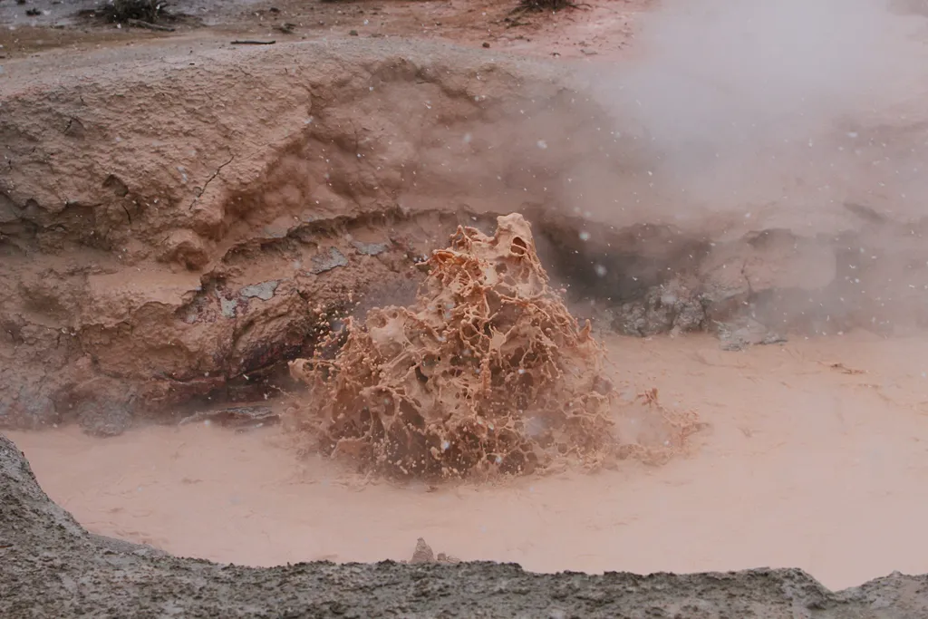 Red SpouterHikingPhoto: NPS / public domain0.1 mi
- Lower Geyser Basin TrailHiking1.1 mi
- Sentinel Meadows TrailHiking1.8 mi
 Fairy Falls TrailHikingPhoto: NASA's Earth Observatory, CC BY 2.0 (via Wikimedia Commons)1.9 mi
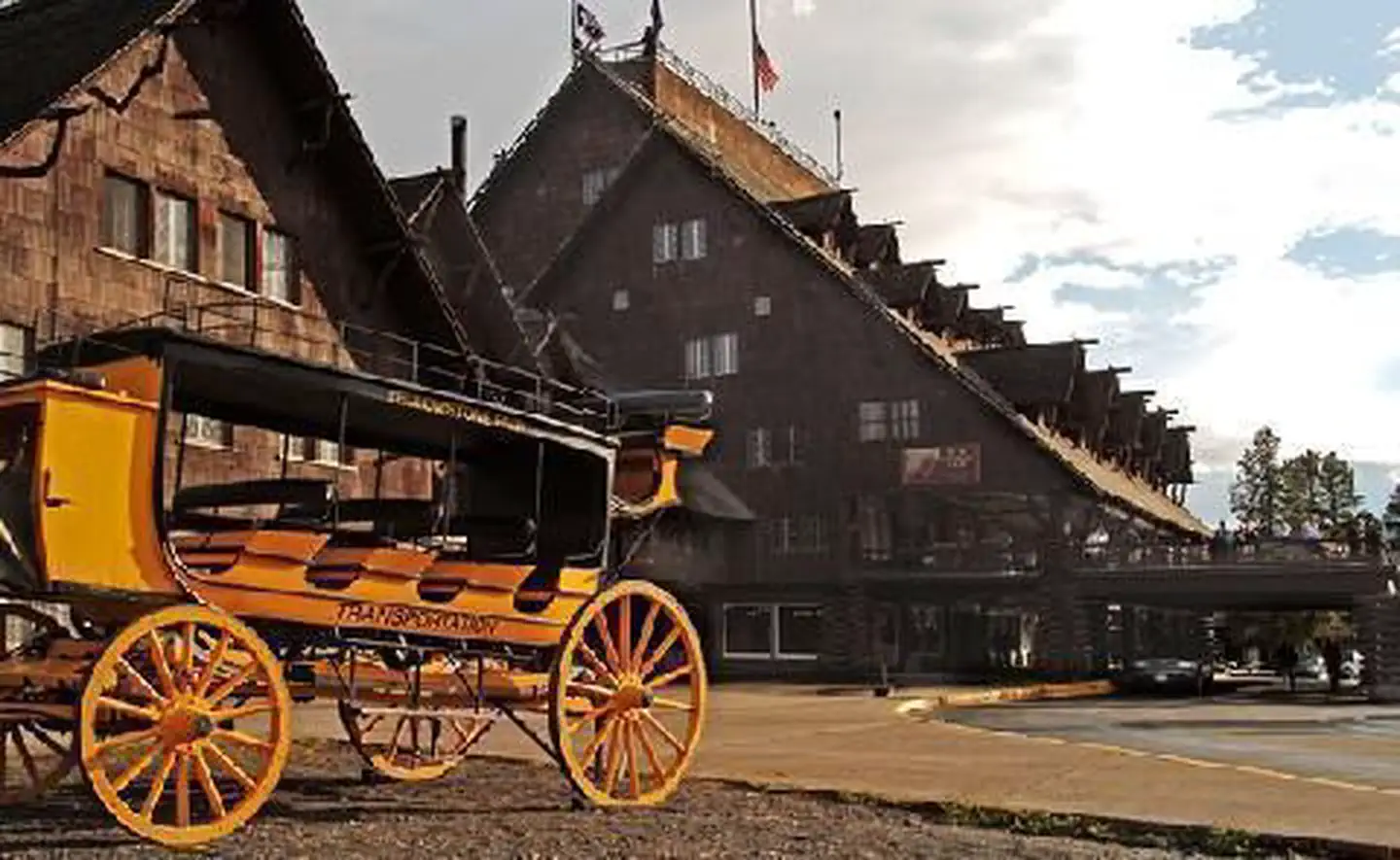 Old Faithful InnLake fishing6.4 mi
 Little Firehole RiverCanoeingPhoto: Yellowstone National Park, Public domain (via Wikimedia Commons)7.3 mi
 Firehole RiverCanoeingPhoto: Wing-Chi Poon, CC BY-SA 2.5 (via Wikimedia Commons)9.2 mi
Source: Roamze catalog (indexable pages within 10 miles, PostGIS distance)
- Fairy Falls TrailHiking · ~3 min drivePhoto: NASA's Earth Observatory, CC BY 2.0 (via Wikimedia Commons)
 Fairy Falls TrailHiking · ~5 min drivePhoto: Николай Максимович, CC BY 3.0 (via Wikimedia Commons)
 Mystic Falls TrailHiking · ~9 min drivePhoto: Domenico Salvagnin from Legnaro, Italy, CC BY 2.0 (via Wikimedia Commons)
- Fairy Creek TrailHiking · ~9 min drivePhoto: Domenico Salvagnin from Legnaro, Italy, CC BY 2.0 (via Wikimedia Commons)
- Firehole Canyon Swimming AreaHiking · ~9 min drive
- Midway Geyser Basin TrailheadHiking · ~4 min drive
- Mary Mountain-Nez Perce TrailHiking · ~15 min drive
 Mallard Lake TrailHiking · ~9 min drivePhoto: aoiaio, CC BY 3.0 (via Wikimedia Commons)
- ESCAPE to Yellowstone Award CertificateHiking · ~10 min drive
- Grand Prismatic SpringHiking · ~4 min drive
Also worth it near here
 Cascades of the FireholeWaterfall · ~9 min drivePhoto: James St. John, CC BY 2.0 (via Wikimedia Commons)
- Old Faithful InnLake fishing · ~11 min drive
 National Park MountainSummit · ~12 min drivePhoto: Acroterion, CC BY-SA 4.0 (via Wikimedia Commons)
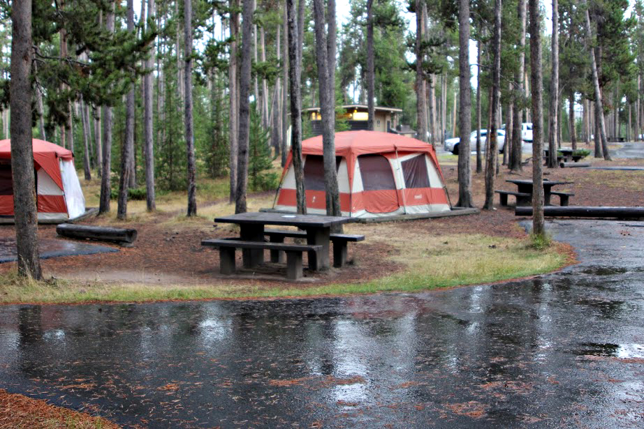 Madison CampgroundCamping · ~12 min drivePhoto: Yellowstone National Park from Yellowstone NP, USA, Public domain (via Wikimedia Commons)
Best time to visit Fumaroles
Best months: July–August. Best months have typical highs of 55–85 °F, lows of 30 °F or warmer (32 °F where the station doesn't record snow), at most one snowy day and no more than 12 wet days.
Jan
28° / 1°
14 wet
Feb
31° / 2°
12 wet
Mar
39° / 10°
13 wet
Apr
46° / 19°
12 wet
May
55° / 29°
13 wet
Jun
65° / 35°
13 wet
Jul
76° / 39°
10 wet
Aug
75° / 37°
9 wet
Sep
65° / 30°
9 wet
Oct
50° / 22°
10 wet
Nov
35° / 10°
12 wet
Dec
27° / 1°
15 wet
Typical high / low (°F) and days with rain or snow, 1991–2020. Measured at Old Faithful, WY, 6.6 mi away at 7,351 ft. This station doesn't record snowfall. Source: NOAA NCEI U.S. Climate Normals 1991–2020.
