Loading…

Free — you'll pick up right here.
Watch this trail
Sign up to watch it — saving subscribes you to gate, closure and report changes.
Wyoming
15.4 mi
Distance
407 ft
Gain
5h 20m
Time
We won't guess. Here is exactly what we do and don't know.
What we do know
Inside Yellowstone National Park
National Park unit boundary is mapped — agency alerts for it feed this page automatically.
Boundary data
What's missing
No access route mapped
We don't yet know which road reaches this trailhead, so we can't tell you if it's gated.
Nobody's filed a report here yet — be the first.
Why you'll love it
Fairy Falls Trail
AI-suggested draft · review before you go
No permit or access details on file for this trail — check with the local land manager before you go.
Fairy Falls Trail is a 7.7-mile out-and-back hike located in Wyoming. This trail offers hikers a substantial day adventure with moderate distance and terrain typical of the region's backcountry experiences. The out-and-back format means hikers will cover approximately 3.85 miles to reach the turnaround point before retracing their route. The trail's Wyoming location provides access to the state's distinctive high-altitude and mountainous landscapes. Hikers should prepare for changing weather conditions and bring adequate water and supplies for the full distance. The route's length makes it suitable for hikers with intermediate experience and reasonable fitness levels. Elevation gain information is not currently available, so hikers should research current trail conditions and consult local resources before planning their visit. Check with local ranger stations or recent trip reports for detailed information about trail difficulty, water sources, and seasonal accessibility. Spring and early summer offer optimal conditions for this Wyoming hike, though weather can be unpredictable at higher elevations.
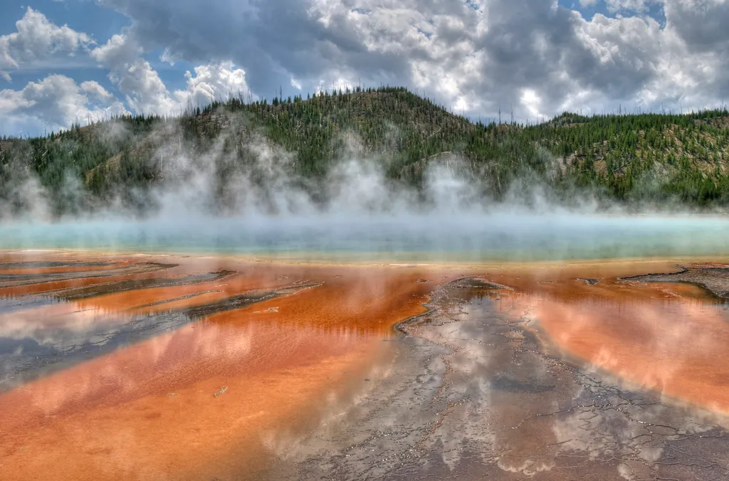
Grand Prismatic Spring
~1 min drive
<p>Grand Prismatic Spring, Yellowstone’s largest hot spring, is 200-330 feet in diameter and more than 121 feet deep.</p> <p>Limited parking, especially 10 am-6 pm. Located in Midway Geyser Basin.</p> <h2>Hot Springs</h2> <p>Hot springs are the most common hydrothermal feature…
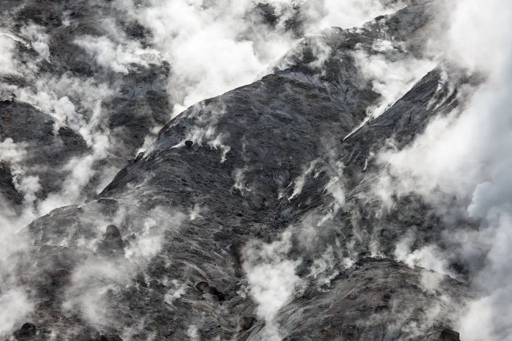
Fumaroles
~5 min drive
<p>The hiss and roar of a fumarole comes from gases—steam, carbon dioxide, and a little hydrogen sulfide—rushing from the ground through the vent. Its plumbing reaches down into the hot rock masses, but contains very little water. When water contacts the hot rock, it flashes i…

Purple Mountain Trail
~16 min drive
6.7 mi · Moderate
Whiskey (Snowmo)
~28 min drive
Moderate 11.22-mile snowmobile trail with gentle elevation gain through Montana backcountry.
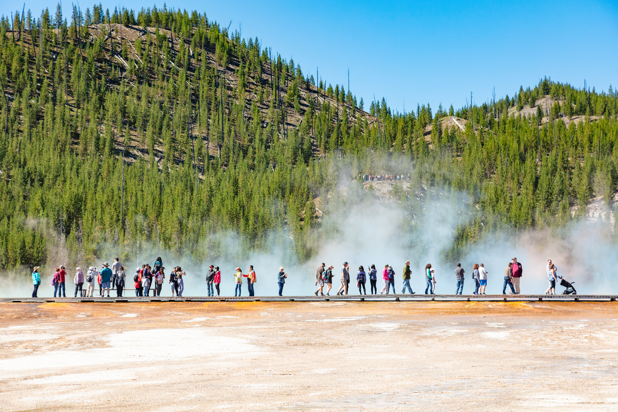
Midway Geyser Basin Trailhead
~1 min drive
Midway Geyser Basin is small but spectacular. Excelsior Geyser is a 200 x 300 foot crater that constantly discharges more than 4,000 gallons of water per minute into the Firehole River. Grand Prismatic Spring, Yellowstone’s largest hot spring, is 200–330 feet in diameter and…
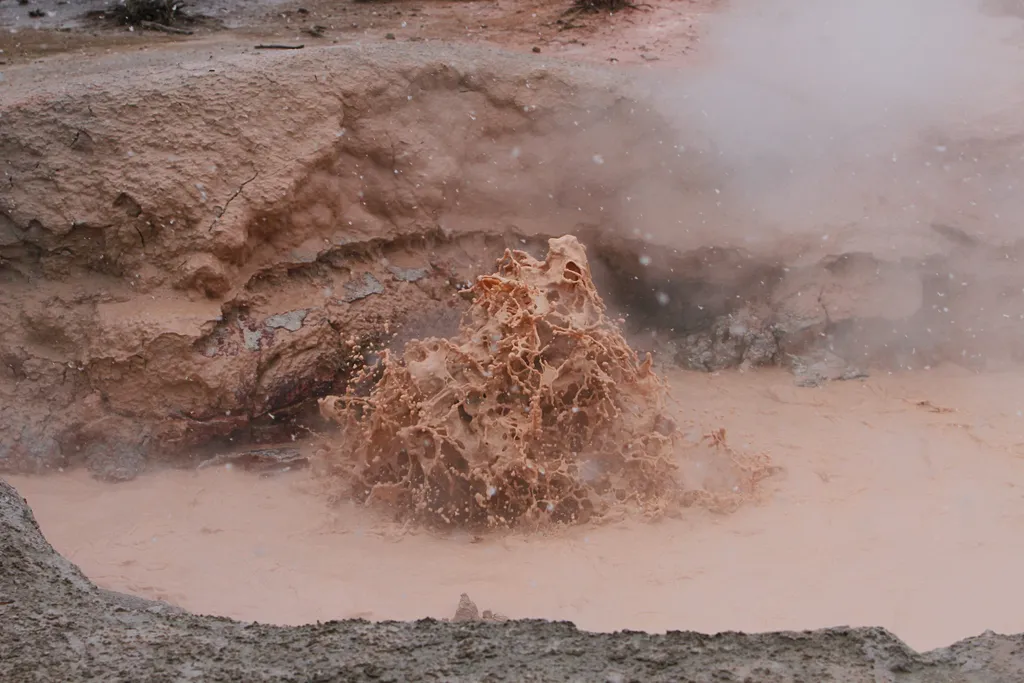
Red Spouter
~5 min drive
<p>Red Spouter formed as a direct result of the 1959 Hebgen Lake Earthquake. A vent opened up in this spot, which then turned into a mudpot. This hydrothermal feature does change seasonally, depending on the height of the water table beneath the surface. When the water table i…
Boundary Trail (Xc)
~29 min drive
Moderate 4.58-mile cross-country backcountry route through Montana wilderness.
Windy Ridge
~28 min drive
Accessible ridge hike with expansive views and moderate distance.

Harlequin Lake Trail
~15 min drive
1.0 mi · Easy
ESCAPE to Yellowstone Award Certificate
~5 min drive
<p>Congratulations! You have made it to the final stop along the ESCAPE to Yellowstone experience. Be proud! You have learned to build self-esteem and character, have tested your mental agility and physical fitness, and hopefully have had fun participating.</p> <p>Have your co…