

The Virginian RV Park
Hiking business nearby (~9 mi away) — hasn't claimed their Roamze page yet
Free — you'll pick up right here.
Watch this trail
Sign up to watch it — saving subscribes you to gate, closure and report changes.
Wyoming
0.7 mi
Distance
89 ft
Gain
16 min
Time
We won't guess. Here is exactly what we do and don't know.
What we do know
Inside Grand Teton National Park
National Park unit boundary is mapped — agency alerts for it feed this page automatically.
Boundary data
What's missing
No access route mapped
We don't yet know which road reaches this trailhead, so we can't tell you if it's gated.
Nobody's filed a report here yet — be the first.
Why you'll love it
Granite Canyon Trailhead
AI-suggested draft · review before you go
Location: Access the Granite Canyon Trailhead one mile north of the Granite Entrance Station on the Moose-Wilson Road. The road is not accessible to vehicles over 23.3 feet long or trailers. The parking lot is small so arrive early in the day to secure your space. Notes: This trailhead has no access to water, so fill up your water bottles prior to arriving. Bears may be active any place and at any time-travel in groups, make noise and carry bear spray. Backcountry camping requires a permit-pick one up at a backcountry permits office. Destinations Hikers may opt for the relatively level Valley Trail or climb Granite Canyon to access the Teton Crest Trail. The south fork of Granite Canyon leads to the back of Rendezvous Mountain home to the Jackson Hole Mountain Resort. The north fork of Granite Canyon leads to Marion Lake. Marion Lake 18.5 miles RT, 12 hours, 3000 ft total climbing, Strenuous. Follow Granite Creek to beautiful Marion Lake. Top of the Tram Requires a shuttle or return along Valley Trail to the trailhead adding about 1 mile. 11.7 miles to top, 10 hours, 4800 feet climbing, 800 feet descending. Start at Granite Canyon Trailhead and hike to the top of the Tram for a free ride down! Name Origin Early explorers misidentified the rocks found in the canyon as igneous granite. In the upper canyon, the rocks are actually metamorphic metagabbro that resembles granite.

Aspen Ridge Trail
~3 min drive
5.4 mi · Easy

Valley Trail
~5 min drive
31 mi · Hard
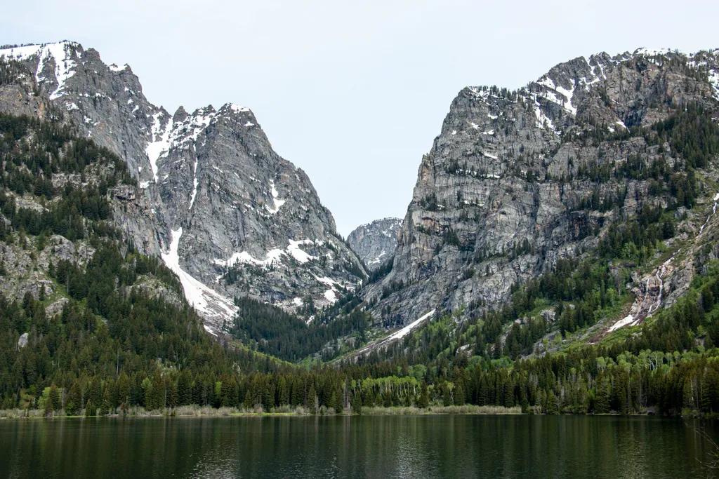
Death Canyon Trailhead
~6 min drive
<p><b>Location:</b> Access the Death Canyon trailhead from the Moose-Wilson Road. Travel three miles south from Moose and turn north on a spur road. The last mile leading to the trailhead is a narrow, rough dirt road recommended for high-clearance vehicles.<br /> <br /> <b>Not…
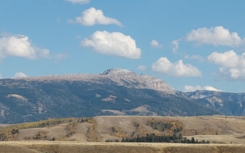
Sleeping Indian Turnout
~6 min drive
<p>Sleeping Indian turnout along US Highway 89/26/191 gives you sweeping views of both the Teton and Gros Ventre Range. The Gros Ventre Mountains—impressive in their own right—surround the southeast portion of the valley. One peak in the range stands out prominently. Nicknamed…
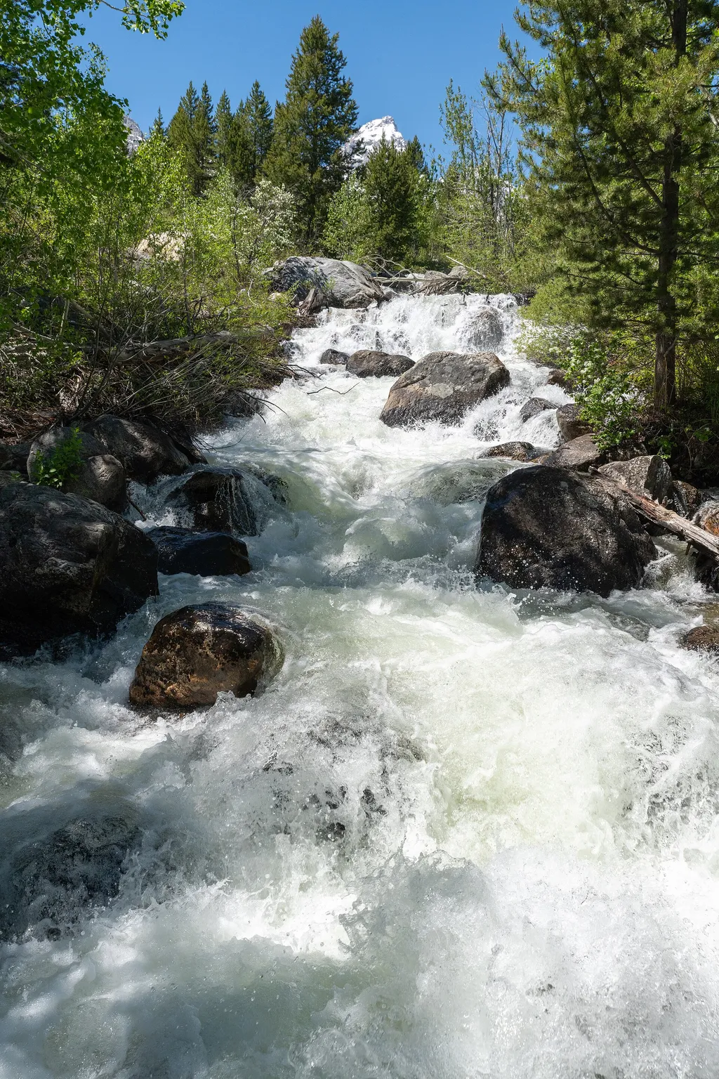
Taggart Lake Trailhead
~11 min drive
<p><b>Location:</b> Access the Taggart Lake trailhead from the Teton Park Road three and a half miles northwest from Moose Junction.<br /> <br /> <b>Notes:</b> Visitor services include a modest-sized parking lot, a vault toilet, map brochure box, bike rack and a trailhead sign…

Phillips Canyon
~10 min drive
7.9 mi · Hard

Taggart Lake Trail
~12 min drive
7.3 mi · Moderate
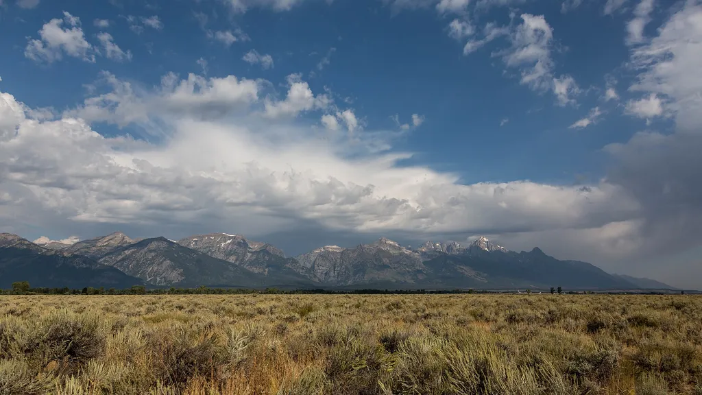
Gros Ventre Pathway Hub
~7 min drive
<p>The Gros Ventre Pathway Hub is one of many locations along the multi-use pathway where you can start or end your bike ride. If starting from this location, use the small parking lot east of the roundabout along Gros Ventre Road. Heading north will take you to Moose Junction…
Cottonwood Creek Overlook
~12 min drive
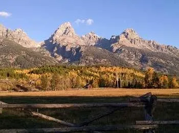
<p>A popular fall photograph captures the Jimmy Manges cabin, the park stock used by the summer trial crew, the aspens turning golden and the Grand Teton towering above. A corral is a classic buck and rail fence used by the early homesteaders. Enjoy the view of the horses and…

Alaska Basin-Buck Mt Pass
~13 min drive
4.4 mi · Moderate
Local operatorsoffering guided trips. You book directly with them — Roamze doesn’t take a cut.
The Virginian RV Park
Hiking business nearby (~9 mi away) — hasn't claimed their Roamze page yet
Greys River Cove
Hiking business nearby (~33 mi away) — hasn't claimed their Roamze page yet