Balm of Gilead
- 9.2 mi
- round trip
- 995 ft
- climb
- 7,232 ft
- high point
- Out and back
- route
Clear at last check
Weather is good · OpenWeather · checked 13 h ago
Balm of Gilead is a 9.2-mile out-and-back hike in Wyoming's Bighorn National Forest, managed by the Forest Service. The trail rises from about 5,860 feet to a high point of 7,232 feet, with a total elevation gain of 995 feet. It is a moderate route, and the trail surface is natural, so expect dirt and rock rather than pavement. The trail is open year-round, and the Forest Service's trail records show that it is open to both horses and bikes. That makes it a flexible option for riders and pack animals as well as hikers. The Martini Loop lies about a mile away, and the Stone Mountain Cut-Off mountain biking route is about 1.2 miles off. Paddlers can head to South Rock Creek, roughly 2 miles away, and Hunter Campground sits about 8 miles from the trail.
- Martini LoopHiking1 mi
- Stone Mountain Cut-OffMountain biking1.2 mi
- South Rock CreekCanoeing2.1 mi
- South Piney CreekCanoeing6.5 mi
- Second Wind WallRock climbing7.9 mi
- Trailside WallRock climbing7.9 mi
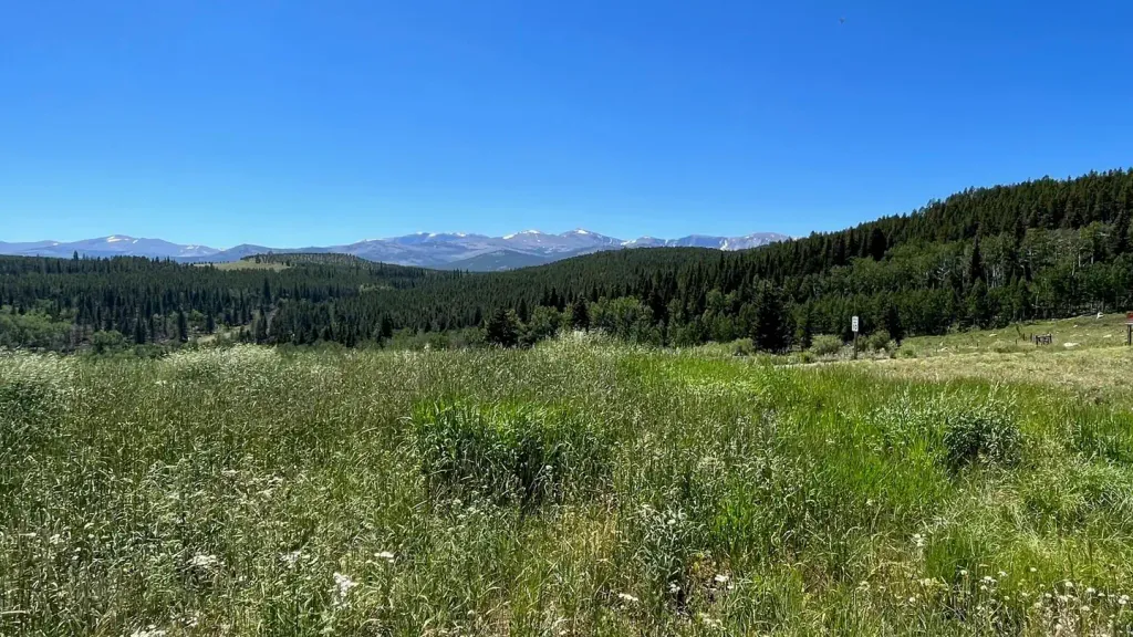 Hunter CampgroundCampingPhoto: Recreation.gov (RIDB) / public domain8 mi
 Middle ForkCampingPhoto: Recreation.gov (RIDB) / public domain9.9 mi
Source: Roamze catalog (indexable pages within 10 miles, PostGIS distance)
- Martini LoopHiking · ~2 min drive
- Cow CampHiking · ~4 min drive
- Fire BoxHiking · ~6 min drive
- Solitude Loop TrailHiking · ~11 min drive
- North Rock CreekHiking · ~4 min drive
- North Sayles CreekHiking · ~5 min drive
- Frying Pan LakeHiking · ~12 min drive
- Story Penrose TrailHiking · ~15 min drive
- French CreekHiking · ~8 min drive
- Fire Box Cut-OffHiking · ~6 min drive
