

The Virginian RV Park
Hiking business nearby (~9 mi away) — hasn't claimed their Roamze page yet
Jackson Hole Airport
Free — you'll pick up right here.
Watch this trail
Sign up to watch it — saving subscribes you to gate, closure and report changes.
Wyoming
We won't guess. Here is exactly what we do and don't know.
What we do know
Inside Grand Teton National Park
National Park unit boundary is mapped — agency alerts for it feed this page automatically.
Boundary data
What's missing
No access route mapped
We don't yet know which road reaches this trailhead, so we can't tell you if it's gated.
Nobody's filed a report here yet — be the first.
Jackson Hole Airport
AI-suggested draft · review before you go
No elevation data on file for this trail.
The Jackson Hole Airport is the only commercial airport within a national park in the country. As such, flying into the airport is an awe-inspiring introduction to the valley and park. Establishing the airport took many years and numerous locations were considered prior to settling on today's location. The airport began commercial operation in 1946 prior to park expansion and is now the busiest airport in Wyoming. Name Origin Fur trappers called a mountain-ringed valley a "hole." Named Davey Jackson's Hole for fur trapper David E. Jackson who worked for the Rocky Mountain Fur Company. The name was later shortened to Jackson Hole.
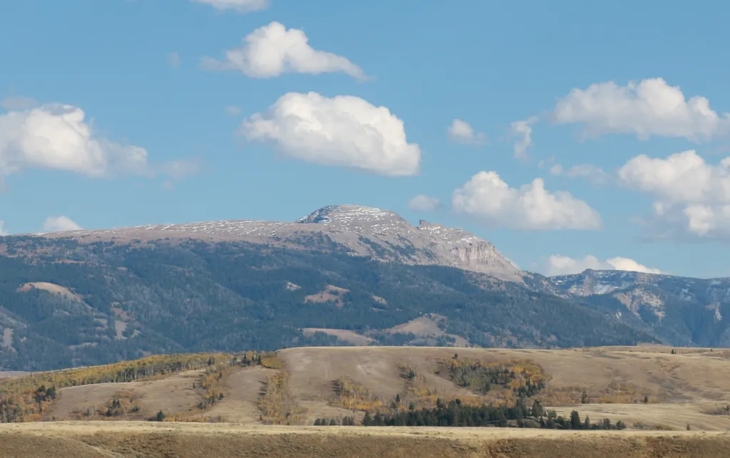
Sleeping Indian Turnout
~2 min drive
<p>Sleeping Indian turnout along US Highway 89/26/191 gives you sweeping views of both the Teton and Gros Ventre Range. The Gros Ventre Mountains—impressive in their own right—surround the southeast portion of the valley. One peak in the range stands out prominently. Nicknamed…
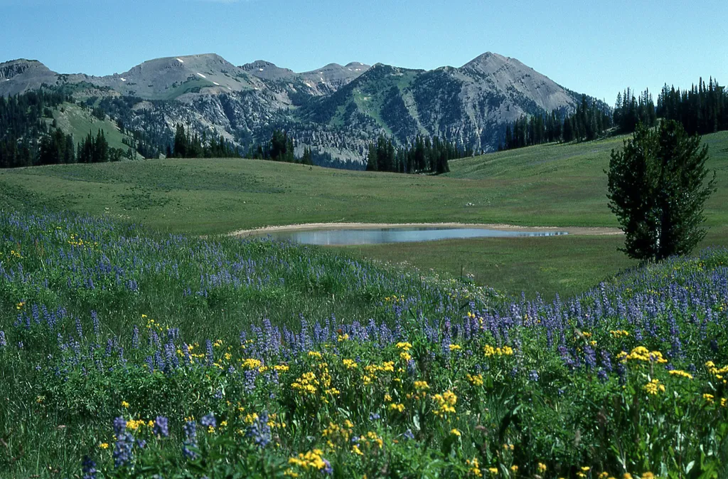
Granite Canyon Trailhead
~5 min drive
<p><b>Location:</b> Access the Granite Canyon Trailhead one mile north of the Granite Entrance Station on the Moose-Wilson Road. The road is not accessible to vehicles over 23.3 feet long or trailers. The parking lot is small so arrive early in the day to secure your space.<br…
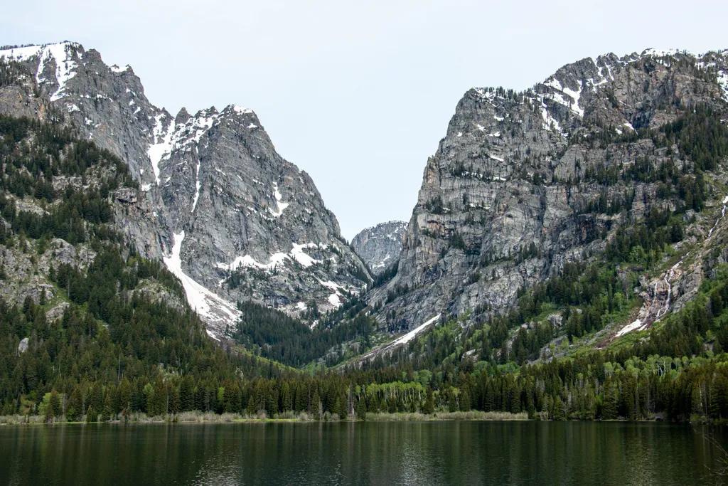
Death Canyon Trailhead
~7 min drive
<p><b>Location:</b> Access the Death Canyon trailhead from the Moose-Wilson Road. Travel three miles south from Moose and turn north on a spur road. The last mile leading to the trailhead is a narrow, rough dirt road recommended for high-clearance vehicles.<br /> <br /> <b>Not…

Valley Trail
~8 min drive
31 mi · Hard
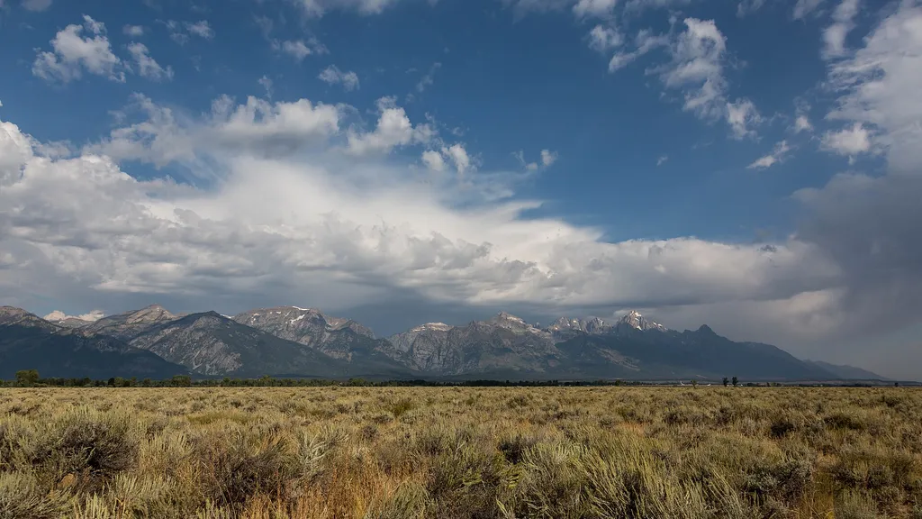
Gros Ventre Pathway Hub
~3 min drive
<p>The Gros Ventre Pathway Hub is one of many locations along the multi-use pathway where you can start or end your bike ride. If starting from this location, use the small parking lot east of the roundabout along Gros Ventre Road. Heading north will take you to Moose Junction…

Aspen Ridge Trail
~6 min drive
5.4 mi · Easy

Taggart Lake Trail
~11 min drive
7.3 mi · Moderate
Albright View Turnout
~4 min drive
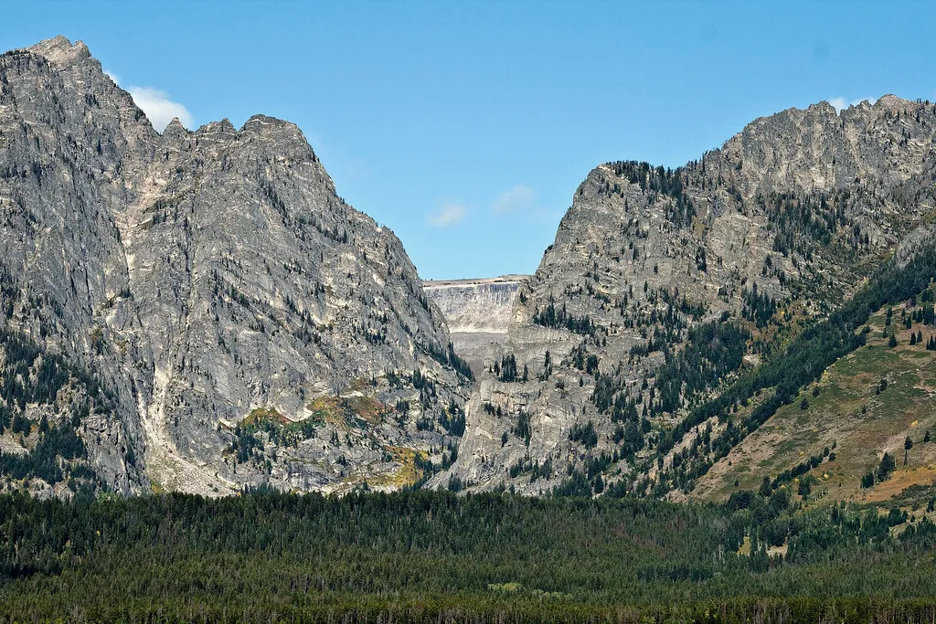
<p>Albright turnout is one of many scenic viewpoints along the highway through the park. Use turnouts like this one to take photos and enjoy wildlife safely. Do not stop along the road on the main highway to keep you and other visitors safe. Although the Teton Range dominates…
Taggart Lake Trailhead
~11 min drive
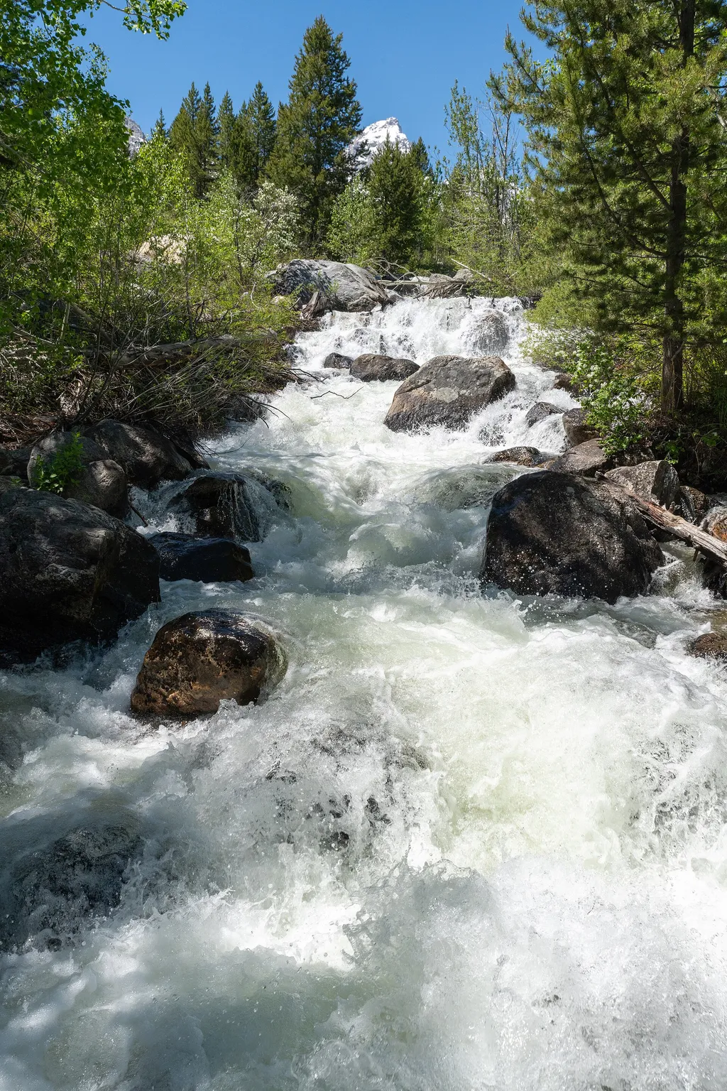
<p><b>Location:</b> Access the Taggart Lake trailhead from the Teton Park Road three and a half miles northwest from Moose Junction.<br /> <br /> <b>Notes:</b> Visitor services include a modest-sized parking lot, a vault toilet, map brochure box, bike rack and a trailhead sign…
Murie Homestead Cabin
~6 min drive
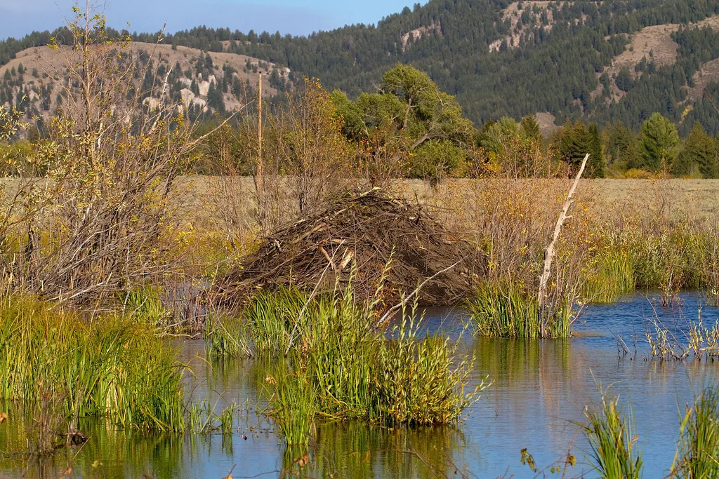
<p>In 1945, the Muries bought the STS Ranch, with Adolph and Louise living in the original building now known as the Homestead. In 1926, the Murie brothers began their master's degree programs at the University of Michigan in the young science of ecology. While Olaus' studies…
Local operatorsoffering guided trips. You book directly with them — Roamze doesn’t take a cut.
The Virginian RV Park
Hiking business nearby (~9 mi away) — hasn't claimed their Roamze page yet
Greys River Cove
Hiking business nearby (~33 mi away) — hasn't claimed their Roamze page yet