Huckleberry Lookout Trail
- 0.7 mi
- round trip
- 629 ft
- climb
- 9,596 ft
- high point
- Out and back
- route
Is Huckleberry Lookout Trail open right now?
No closures listed
The Forest Service lists no closures for Bridger-Teton National Forest.
As of · Source: USFS · Bridger-Teton National Forest. Agencies don't list every closure — check before you go.
Huckleberry Lookout Trail is an easy hike of about 1.4 miles in the Teton Wilderness, part of the Blackrock Ranger District of Bridger-Teton National Forest in Wyoming. It is a short out-and-back that gains about 517 feet one way, with a total round trip of about 629 feet, and the steepest stretch comes at around 0.43 miles from the trailhead. The trail's front-loaded climb starts from a low point of about 9,141 feet and reaches a high point of about 9,596 feet. The Forest Service manages the land, and the trip takes about an hour to complete. Several other destinations lie within a few miles. Wildcat Peak Ascent is about 2.8 miles away, Sheffield is about 3.6 miles away, and Sheffield Campground is about 3.9 miles away. For paddling, Coulter Creek is roughly 5.2 miles off.
Local outfitters
- Swift Creek Outfitters13 mi away
- The Virginian RV Park43 mi away
Not on Roamze yet. Their page has how to reach them.
- Wildcat Peak AscentHiking2.8 mi
- SheffieldHiking3.6 mi
- Rodent CreekHiking3.8 mi
- Sheffield CampgroundCamping3.9 mi
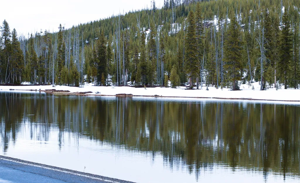 The Berry FireHikingPhoto: Thank You (25 Millions ) views — Wikimedia Commons (CC BY 4.0)4.1 mi
- Coulter CreekCanoeing5.2 mi
 Lewis RiverCanoeingPhoto: Jan Kronsell, Public domain (via Wikimedia Commons)6.9 mi
- Pilgrim CreekCanoeing9.9 mi
Source: Roamze catalog (indexable pages within 10 miles, PostGIS distance)
- The Berry FireHiking · ~7 min drive
 Bailey Creek TrailHiking · ~12 min drivePhoto: inkknife_2000 (7.5 million views +), CC BY-SA 2.0 (via Wikimedia Commons)
- Bailey CreekHiking · ~12 min drivePhoto: inkknife_2000 (7.5 million views +), CC BY-SA 2.0 (via Wikimedia Commons)
- Colter / Wolverine Trailhead (8K8)Hiking · ~9 min drive
- WOLVERINE CUTOFFHiking · ~9 min drive
- Flagg Ranch TrailheadHiking · ~7 min drive
- Arizona Meadows TurnoutHiking · ~14 min drive
 Webb Canyon TrailHiking · ~15 min drivePhoto: Don Graham from Redlands, CA, USA - God bless it!, CC BY-SA 2.0 (via Wikimedia Commons)
- Snake River Cutoff TrailHiking · ~10 min drive
- Heart Lake TrailHiking · ~13 min drive
Map and trail data © OpenStreetMap contributors
