
The Virginian RV Park
Hiking business nearby (~48 mi away) — hasn't claimed their Roamze page yet
Colter / Wolverine Trailhead (8K8)
Free — you'll pick up right here.
Watch this trail
Sign up to watch it — saving subscribes you to gate, closure and report changes.
Wyoming
We won't guess. Here is exactly what we do and don't know.
What we do know
Inside Bridger-Teton National Forest
3 managing-area boundaries mapped — agency alerts for them feed this page automatically.
Boundary data
What's missing
No access route mapped
We don't yet know which road reaches this trailhead, so we can't tell you if it's gated.
Nobody's filed a report here yet — be the first.
Colter / Wolverine Trailhead (8K8)
AI-suggested draft · review before you go
No elevation data on file for this trail.
This is a remote trailhead at the southern boundary of the park that is not accessible by road. From this trailhead, you can embark on the following trails within the park: Colter / Wolverine Trail South Boundary Trail: South Entrance–Harebell Snake River Canyon Trail Snake River Cutoff Trail Heart Lake Trail Colter / Wolverine Trail An easy 0.5-mile (0.8-km) one-way trail that connects the South Boundary Trail: South Entrance–Harebell to the trails in the USDA Forest Service lands south of the park. South Boundary Trail: South Entrance–Harebell This moderate 11.6-mile (18.7-km) one-way trail follows the Snake River most of the way, passing by a couple of thermal areas. The fording of the Snake River at the western end of the trail can be dangerous, and even during low-water periods can be waist-deep. This trail travels between the South Entrance in the west at the Harebell Creek Patrol Cabin in the east. Snake River Canyon Trail An easy 2.5-mile (4-km) one-way trail that travels between the South Boundary Trail and the Heart River Trail. Snake River Cutoff Trail A moderate 3.1-mile (5-km) one-way trail that travels up and over a ridge to connect the South Boundary Trail: South Entrance–Harebell to the Snake River Canyon Trail. Heart Lake Trail A moderate 17.4-mile (28-km) one-way trail that leads past thermal areas and to Heart Lake. Heart Lake is about 7.2 miles along the trail from the north end of the trail and 10.2 miles from the junction with the South Boundary Trail. NOTE: Due to bear activity, this trail is closed from April 1 through June 30.
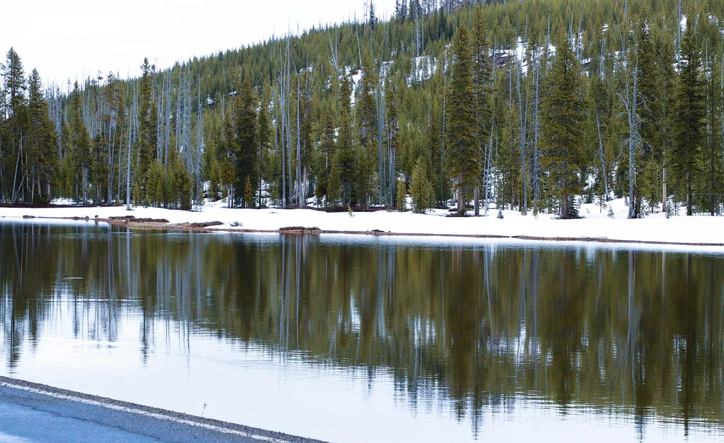
Flagg Canyon Launch
~12 min drive
<p><b>Location:</b> Access from US 89/191/287 just south of the Yellowstone South Gate. A steep dirt road leads from the picnic area down to the boat ramp. The ramp is a log slide that provides access to the river bottom. Except during high water, visitors will need to carry t…

Sheffield
~14 min drive
14 mi · Hard
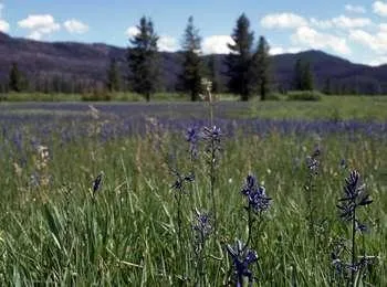
Arizona Meadows Turnout
~22 min drive
<p>This wet meadow turns blue violet in the early summer when blue camas blooms. Shoshone Indians harvested the bulbs once the flowers bloomed so that they did not confuse the plant with death camas that could be a very deadly mistake! The roasted bulbs formed an important par…
Wolverine-Coulter Cuttoff
~16 min drive
4.7 mi · Moderate
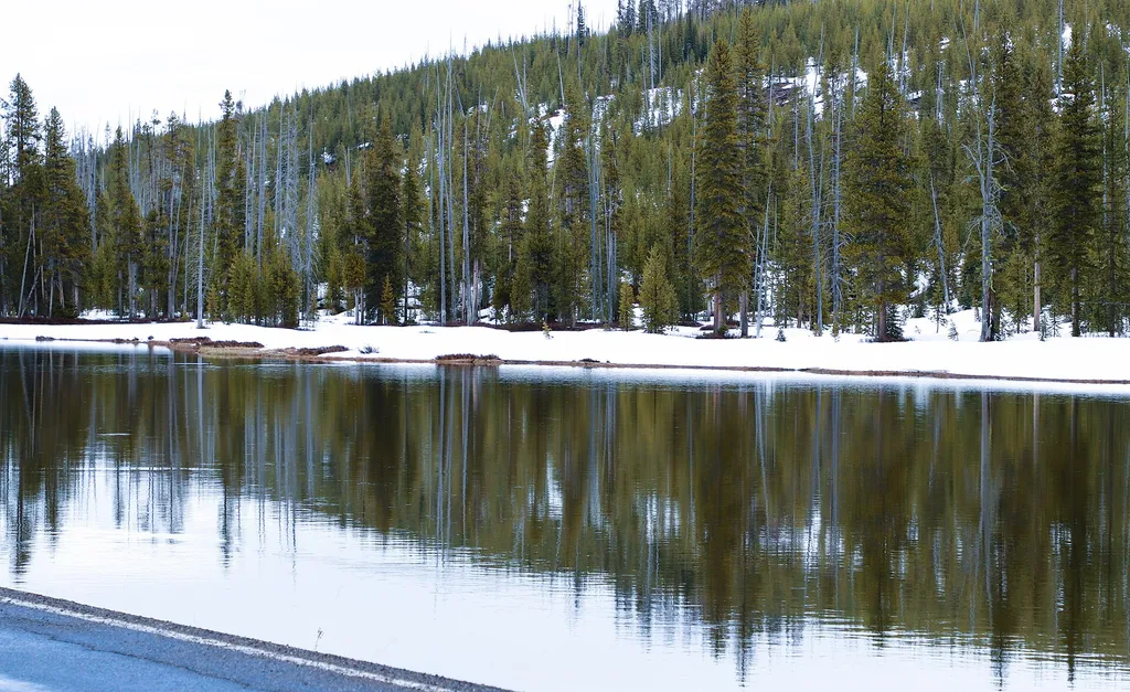
Fire Just Is
~13 min drive
<p>Stop 8 (Flagg Canyon Picnic Area): "Fire isn't good or bad-it just is." Fire managers from Grand Teton National Park and Bridger-Teton National Forest reflect on the progress of the last 50 years, and what we need to think about for the future.</p>

Bailey Creek
~20 min drive
6.7 mi · Hard
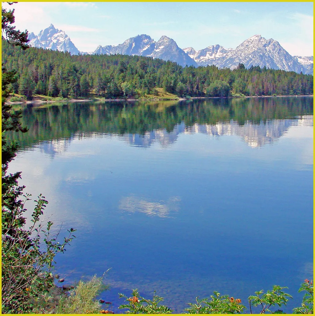
Arizona Island Picnic Area
~22 min drive
<p>Arizona Island picnic area consists of just a few tables in a meadow with mature forests surrounding. Have a snack and enjoy the view when traveling to or from Yellowstone National Park.</p> <h3>Name Origin</h3> <p>Once a peninsula, it became an island when Jackson Lake was…
John D. Rockefeller, Jr. Memorial Parkway North Turnout
~13 min drive
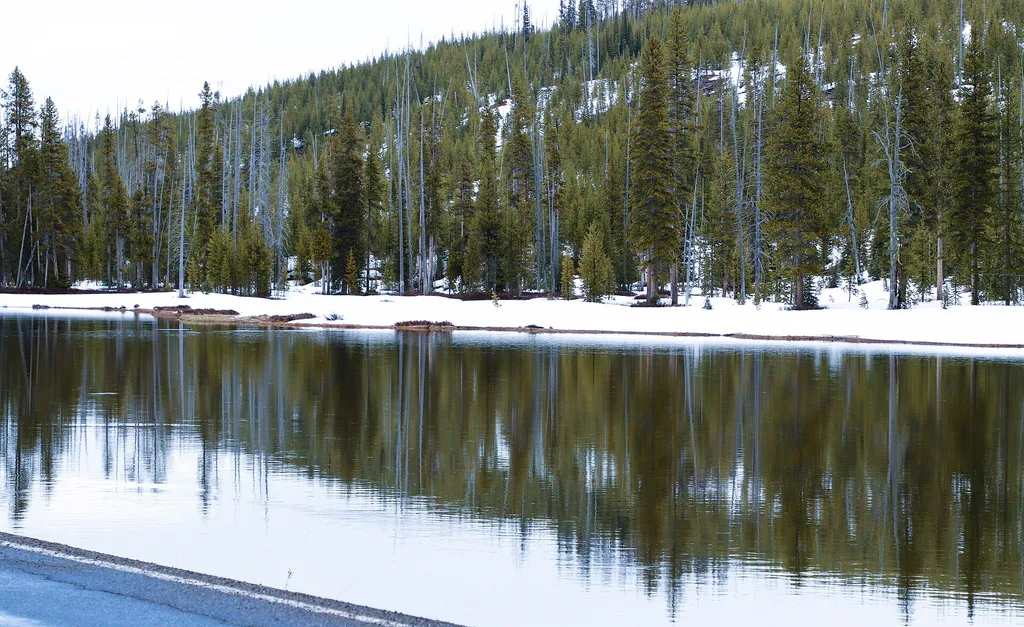
<p>The north boundary of the John D. Rockefeller, Jr. Memorial Parkway abuts Yellowstone National Park. The headwaters of the adjacent Snake River are east along the Yellowstone, Teton Wilderness Boundary. Lodgepole pines regenerated after the 1988 Yellowstone fires cover the…

Mink Creek Trail
~23 min drive
15 mi · Hard
Snake River Backcountry Office
~13 min drive
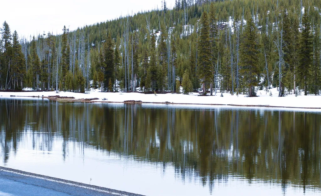
<p>Stop by the backcountry office to purchase: fishing permits, entrance and interagency passes, overnight backcountry camping permits, float tube permits, and non-fee horseback day riding permits. Our experienced staff can also help you with trail, hiking, and horseback ridin…
Also worth it near here
Local operatorsoffering guided trips. You book directly with them — Roamze doesn’t take a cut.
The Virginian RV Park
Hiking business nearby (~48 mi away) — hasn't claimed their Roamze page yet