
The Virginian RV Park
Hiking business nearby (~43 mi away) — hasn't claimed their Roamze page yet
Free — you'll pick up right here.
Watch this trail
Sign up to watch it — saving subscribes you to gate, closure and report changes.
Wyoming
14.2 mi
Distance
2,193 ft
Gain
5h 50m
Time
No agency boundary, access route or field report is mapped to it — so there is no verdict, and we won't guess. We'll tell you the moment this trail has something to say.
Covered nearby
Trails within 25 miles where we do have a current picture.
Nobody's filed a report here yet — be the first.
Why you'll love it
Sheffield
AI-suggested draft · review before you go
No permit or access details on file for this trail — check with the local land manager before you go.
The Sheffield Trail is a 14.2-mile out-and-back hike located near Wyoming. This moderate-length trail offers a full day of hiking through the region's landscape. The out-and-back format means you'll retrace your steps on the return journey, making it easy to turn back at any point if needed. With nearly 15 miles of total distance, this trail is best suited for hikers with reasonable endurance. The Wyoming setting provides the backdrop for this backcountry experience. Whether you're looking for a challenging day hike or prefer a more leisurely pace with an early turnaround point, the Sheffield Trail accommodates various fitness levels by allowing flexible mileage. Plan for a full day outing and bring plenty of water and supplies. The out-and-back design eliminates navigation concerns on the return trip, letting you focus on enjoying the natural surroundings. This trail is ideal for hikers seeking a substantial workout in the Wyoming area.
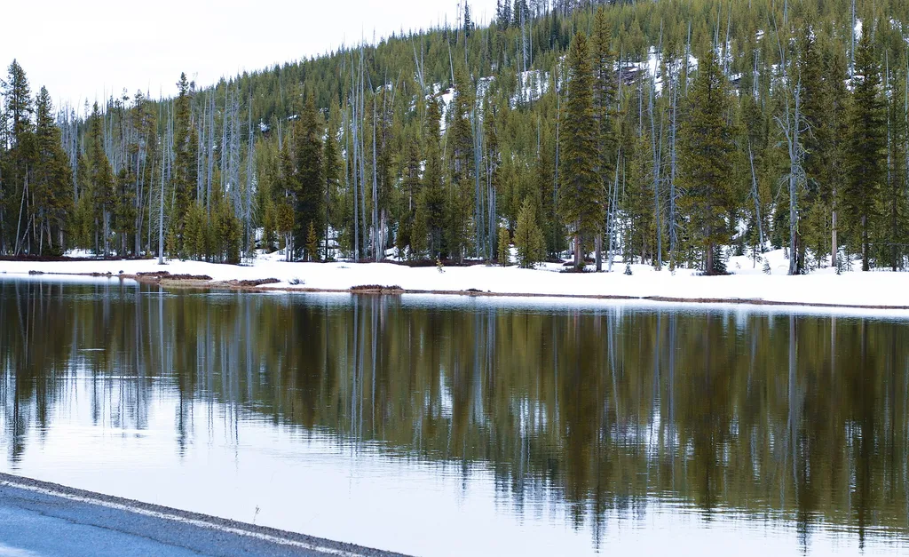
Headwaters Lodge
~2 min drive
<p>The Headwaters Lodge is located in the John D. Rockefeller, Jr. Memorial Parkway that connects Grand Teton and Yellowstone national parks. Enjoy comfortable cabins or rustic camper cabins. The main building also houses a dining room, a gift shop and a convenience store. Oth…

Bailey Creek
~13 min drive
6.7 mi · Hard
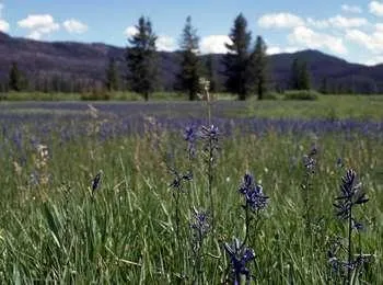
Arizona Meadows Turnout
~14 min drive
<p>This wet meadow turns blue violet in the early summer when blue camas blooms. Shoshone Indians harvested the bulbs once the flowers bloomed so that they did not confuse the plant with death camas that could be a very deadly mistake! The roasted bulbs formed an important par…
Colter / Wolverine Trailhead (8K8)
~14 min drive
<p>This is a remote trailhead at the southern boundary of the park that is not accessible by road. From this trailhead, you can embark on the following trails within the park:</p> <ul> <li>Colter / Wolverine Trail</li> <li>South Boundary Trail: South Entrance–Harebell</li> <li…
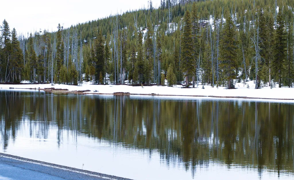
The Berry Fire
~2 min drive
<p>Stop 6 (Headwaters Lodge parking lot, Flagg Ranch): The Berry Fire, in 2016, was the largest fire in park history. Learn about how it spread across the landscape, and how years of preparation helped protect the buildings at Flagg Ranch.</p>
Arizona Creek Trail
~9 min drive
12 mi · Hard
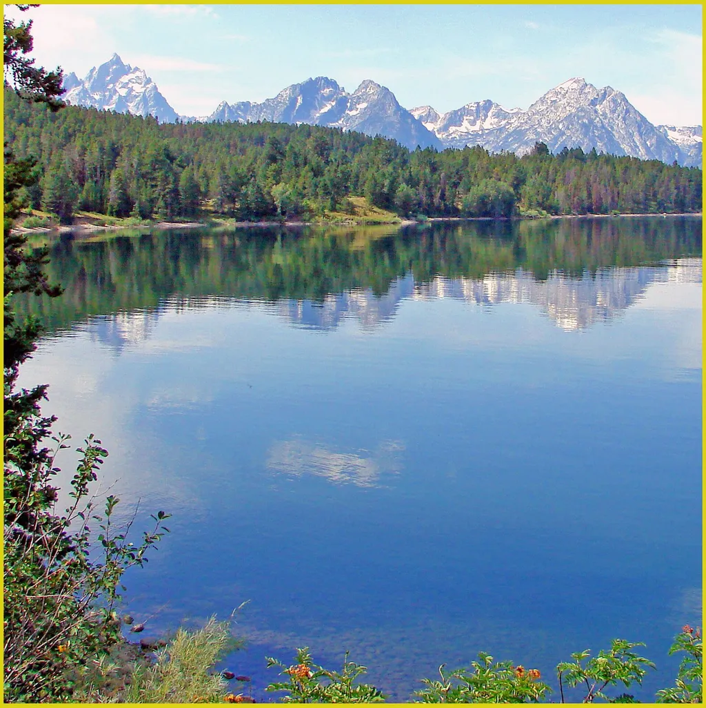
Arizona Island Picnic Area
~15 min drive
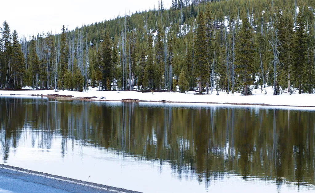
<p>Arizona Island picnic area consists of just a few tables in a meadow with mature forests surrounding. Have a snack and enjoy the view when traveling to or from Yellowstone National Park.</p> <h3>Name Origin</h3> <p>Once a peninsula, it became an island when Jackson Lake was…
Flagg Ranch Trailhead
~2 min drive
<p><b>Location:</b> Access the Flagg Ranch trail from the Flagg Ranch Information Station. Head west from the information station cabin, through the parking lot, and look for a break in the trees.<br /> <br /> <b>Notes:</b> Visitor services include an information center, restr…
Rodent Creek
~13 min drive
8.6 mi · Hard
Hermitage Point Trailhead
~23 min drive
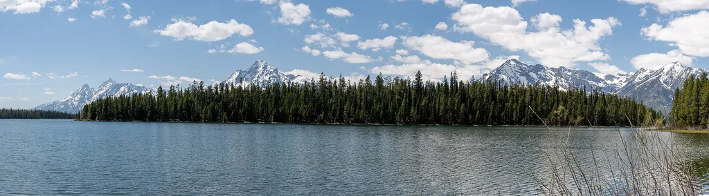
<p><b>Location:</b> Access the Hermitage Point Trailhead from Colter Bay Village. Continue ten miles northwest on the main highway from Moran Junction, and turn southwest at the Colter Bay Junction. The trailhead is at the southeast end of the parking lot next to the marina, a…
Also worth it near here
Local operatorsoffering guided trips. You book directly with them — Roamze doesn’t take a cut.
The Virginian RV Park
Hiking business nearby (~43 mi away) — hasn't claimed their Roamze page yet