Free — you'll pick up right here.
Watch this trail
Sign up to watch it — saving subscribes you to gate, closure and report changes.
Wyoming
Fountain Paint Pots Trail
0.7 mi
Distance
80 ft
Gain
16 min
Time
No verdict for this trail
We won't guess. Here is exactly what we do and don't know.
What we do know
Inside Yellowstone National Park
National Park unit boundary is mapped — agency alerts for it feed this page automatically.
Boundary data
What's missing
No access route mapped
We don't yet know which road reaches this trailhead, so we can't tell you if it's gated.
Nobody's filed a report here yet — be the first.
Why you'll love it
Here's your day, mapped
Fountain Paint Pots Trail
AI-suggested draft · review before you go
Meals
Gear for the day
Elevation & route
- Distance
- 0.7 mi
- Elevation gain
- 80 ft
- Elevation loss
- 80 ft
- Highest point
- 7,319 ft
- Lowest point
- 7,282 ft
Photos
Directions & GPX
Permits & access
- Managing agency
- National Park Service
About this trail
This short out-and-back trail in Wyoming's geothermal region showcases colorful hot springs and bubbling mud pots in a compact 0.69-mile walk. The trail features vibrant mineral deposits and geothermal features that create an otherworldly landscape. Perfect for a quick nature walk with unique geological interest.
Add to a trip & share
Keep exploring — more trails worth the drive
Red Spouter
~0 min drive
Red Spouter formed as a direct result of the 1959 Hebgen Lake Earthquake. A vent opened up in this spot, which then turned into a mudpot. This hydrothermal feature does change seasonally, depending on the height of the water table beneath the surface. When the water table is…
 Photo: NASA's Earth Observatory, CC BY 2.0 (via Wikimedia Commons)
Fairy Falls Trail
~3 min drive
2.04-mile out-and-back trail in Wyoming with 48 ft elevation gain.
 Photo: Николай Максимович, CC BY 3.0 (via Wikimedia Commons)
Fairy Falls Trail
~5 min drive
15.42-mile out-and-back hike in Wyoming with 407 ft elevation gain.
 Photo: Domenico Salvagnin from Legnaro, Italy, CC BY 2.0 (via Wikimedia Commons)
Fairy Creek Trail
~9 min drive
Moderate out-and-back creek hike through Wyoming forest and meadow.
Firehole Canyon Swimming Area
~9 min drive
CLOSED FOR THE 2025 SEASON. The river is usually closed to swimming until mid-summer due to high water and strong currents. During years with significant snowpack and runoff, the swim area may remain closed for the entire season. Check our current conditions page for status.…
Midway Geyser Basin Trailhead
~4 min drive
Midway Geyser Basin is small but spectacular. Excelsior Geyser is a 200 x 300 foot crater that constantly discharges more than 4,000 gallons of water per minute into the Firehole River. Grand Prismatic Spring, Yellowstone’s largest hot spring, is 200–330 feet in diameter and…
Mary Mountain-Nez Perce Trail
~15 min drive
20-mile out-and-back trail through Mary Mountain-Nez Perce country with historical significance.
Photo: Domenico Salvagnin from Legnaro, Italy, CC BY 2.0 (via Wikimedia Commons)Mystic Falls Trail
~9 min drive
Short out-and-back hike to a scenic waterfall in Wyoming.
ESCAPE to Yellowstone Award Certificate
~10 min drive
Congratulations! You have made it to the final stop along the ESCAPE to Yellowstone experience. Be proud! You have learned to build self-esteem and character, have tested your mental agility and physical fitness, and hopefully have had fun participating. Have your code…
Grand Prismatic Spring
~4 min drive
Grand Prismatic Spring, Yellowstone’s largest hot spring, is 200-330 feet in diameter and more than 121 feet deep. Limited parking, especially 10 am-6 pm. Located in Midway Geyser Basin. Hot Springs Hot springs are the most common hydrothermal features in Yellowstone. Their…
Also worth it near here
 Photo: James St. John, CC BY 2.0 (via Wikimedia Commons)
Cascades of the Firehole
~9 min drive
Old Faithful Inn
~11 min drive
 Photo: Acroterion, CC BY-SA 4.0 (via Wikimedia Commons)
National Park Mountain
~12 min drive
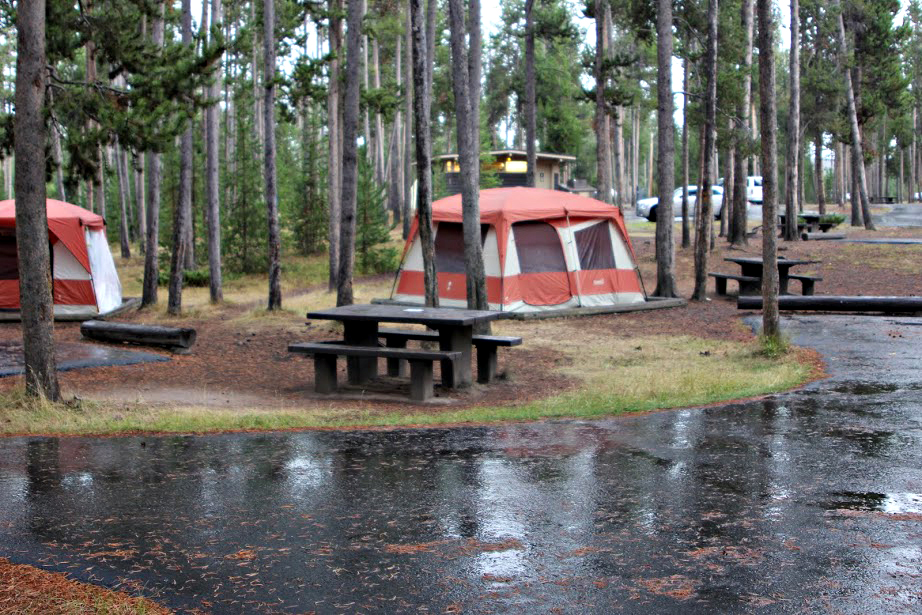 Photo: Yellowstone National Park from Yellowstone NP, USA, Public domain (via Wikimedia Commons)
Madison Campground
~12 min drive
Kepler Cascade Ski Trail
~12 min drive
