
The Virginian RV Park
Hiking business nearby (~46 mi away) — hasn't claimed their Roamze page yet
Flagg Canyon Launch
Free — you'll pick up right here.
Watch this trail
Sign up to watch it — saving subscribes you to gate, closure and report changes.
Wyoming
We won't guess. Here is exactly what we do and don't know.
What we do know
Inside John D. Rockefeller, Jr., Memorial Parkway
National Park unit boundary is mapped — agency alerts for it feed this page automatically.
Boundary data
What's missing
No access route mapped
We don't yet know which road reaches this trailhead, so we can't tell you if it's gated.
Nobody's filed a report here yet — be the first.
Flagg Canyon Launch
AI-suggested draft · review before you go
No elevation data on file for this trail.
Location: Access from US 89/191/287 just south of the Yellowstone South Gate. A steep dirt road leads from the picnic area down to the boat ramp. The ramp is a log slide that provides access to the river bottom. Except during high water, visitors will need to carry their boat to the water. Notes: There is a small picnic area above the launch with a vault toilet. The Flagg Canyon trail continues south from the boat launch along the rim of the canyon. Regulations All boats including paddleboards launched in Grand Teton National Park must have a park permit. Purchase permits at the permits desk in the Craig Thomas Discovery & Visitor Center in Moose or the Colter Bay permits office. More information on park boat regulations. Boat inspections required for all boats entering Wyoming between March 1 and November 30 for Aquatic Invasive Species (AIS). AIS inspection stations near Moose and Moran. Boat owners must buy a decal to support this program. More information on state boat regulations.
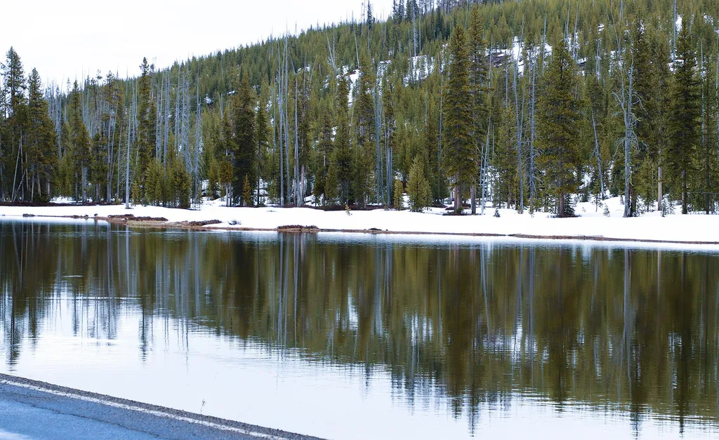
Fire Just Is
~0 min drive
<p>Stop 8 (Flagg Canyon Picnic Area): "Fire isn't good or bad-it just is." Fire managers from Grand Teton National Park and Bridger-Teton National Forest reflect on the progress of the last 50 years, and what we need to think about for the future.</p>

Sheffield
~4 min drive
14 mi · Hard
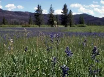
Arizona Meadows Turnout
~18 min drive
<p>This wet meadow turns blue violet in the early summer when blue camas blooms. Shoshone Indians harvested the bulbs once the flowers bloomed so that they did not confuse the plant with death camas that could be a very deadly mistake! The roasted bulbs formed an important par…
Colter / Wolverine Trailhead (8K8)
~12 min drive
<p>This is a remote trailhead at the southern boundary of the park that is not accessible by road. From this trailhead, you can embark on the following trails within the park:</p> <ul> <li>Colter / Wolverine Trail</li> <li>South Boundary Trail: South Entrance–Harebell</li> <li…
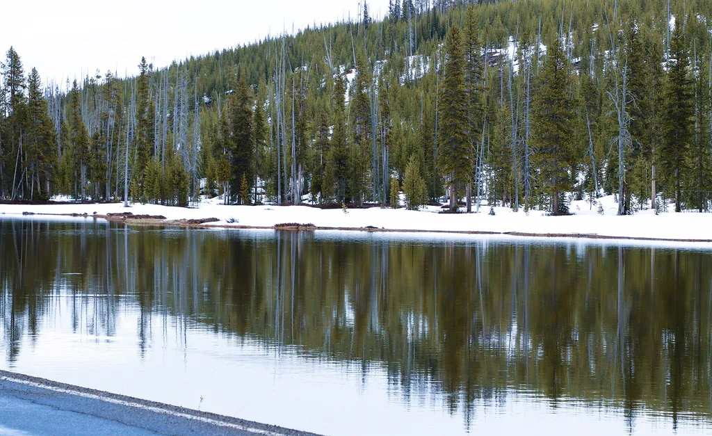
John D. Rockefeller, Jr. Memorial Parkway North Turnout
~1 min drive
<p>The north boundary of the John D. Rockefeller, Jr. Memorial Parkway abuts Yellowstone National Park. The headwaters of the adjacent Snake River are east along the Yellowstone, Teton Wilderness Boundary. Lodgepole pines regenerated after the 1988 Yellowstone fires cover the…

Bailey Creek
~17 min drive
6.7 mi · Hard
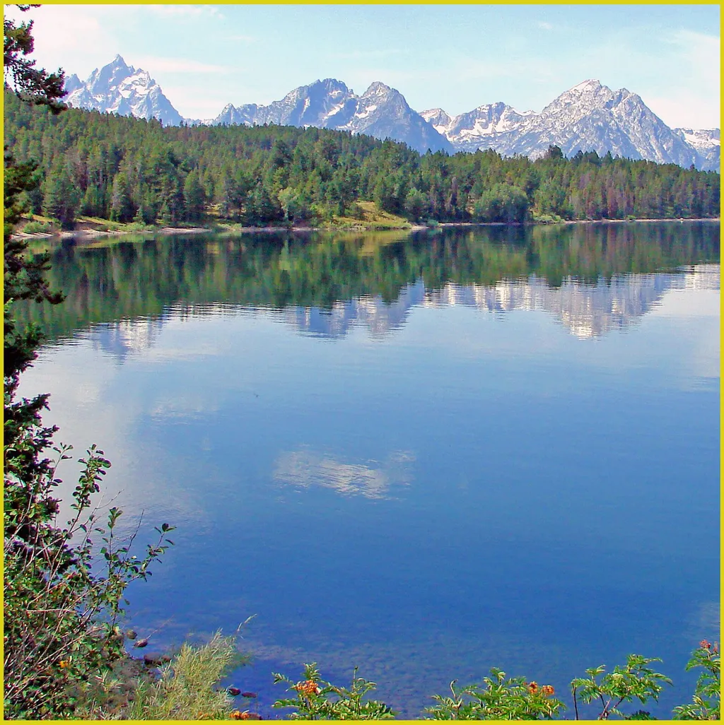
Arizona Island Picnic Area
~19 min drive
<p>Arizona Island picnic area consists of just a few tables in a meadow with mature forests surrounding. Have a snack and enjoy the view when traveling to or from Yellowstone National Park.</p> <h3>Name Origin</h3> <p>Once a peninsula, it became an island when Jackson Lake was…
South Entrance Station
~1 min drive
<p>Yellowstone and Grand Teton national parks charge separate entrance fees. People visiting both parks can save money by purchasing an Interagency Annual Pass. Learn more about <a href="https://www.nps.gov/yell/planyourvisit/fees.htm">fees and passes</a> online.</p> <h2>Roads…
Arizona Creek Trail
~13 min drive
12 mi · Hard
Fish Lake
~24 min drive
1.6 mi · Easy
Also worth it near here
Local operatorsoffering guided trips. You book directly with them — Roamze doesn’t take a cut.
The Virginian RV Park
Hiking business nearby (~46 mi away) — hasn't claimed their Roamze page yet