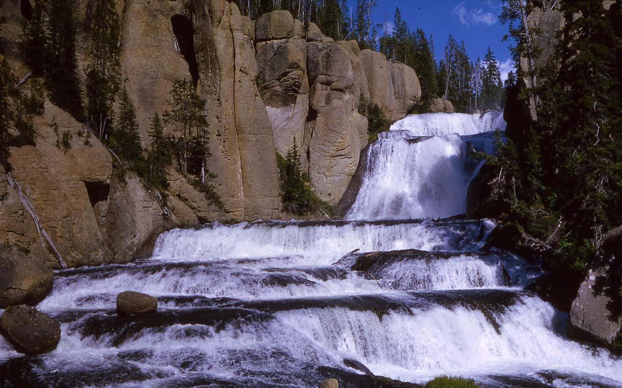
South Boundary Trail: Grassy Lake-South Entrance
- 8.1 mi
- round trip
- 2,008 ft
- climb
- 7,726 ft
- high point
- Out and back
- route
- Jun–Aug
- best months
This out-and-back trail traverses the scenic South Boundary region of Wyoming, connecting Grassy Lake to the South Entrance with 8.14 miles of hiking through diverse terrain. The route offers access to pristine backcountry landscape with views of the surrounding wilderness and potential wildlife viewing opportunities. This trail is ideal for hikers seeking a moderate day hike with a mix of forest and open country.
Local outfitters
- Swift Creek Outfitters22 mi away
- The Virginian RV Park46 mi away
Not on Roamze yet. Their page has how to reach them.
- Beula Lake TrailHiking0.1 mi
 Pitchstone Plateau TrailHikingPhoto: W. Bulach, CC BY-SA 4.0 (via Wikimedia Commons)2.3 mi
- Cascade Creek-Falls River Cutoff TrailHikingPhoto: W. Bulach, CC BY-SA 4.0 (via Wikimedia Commons)3 mi
- Terraced Falls TrailHiking4 mi
 Fall RiverCanoeingPhoto: Unknown author, Public domain (via Wikimedia Commons)4.3 mi
- Looking ForwardHiking5.5 mi
- Sheffield CampgroundCamping6.4 mi
 Lewis RiverCanoeingPhoto: Jan Kronsell, Public domain (via Wikimedia Commons)7.3 mi
Source: Roamze catalog (indexable pages within 10 miles, PostGIS distance)
- Grassy Lake Trailhead (9K6)Hiking · ~3 min drive
- Pitchstone Plateau TrailHiking · ~4 min drivePhoto: W. Bulach, CC BY-SA 4.0 (via Wikimedia Commons)
- Cascade Creek-Falls River Cutoff TrailHiking · ~5 min drivePhoto: W. Bulach, CC BY-SA 4.0 (via Wikimedia Commons)
 Webb Canyon TrailHiking · ~17 min drivePhoto: Don Graham from Redlands, CA, USA - God bless it!, CC BY-SA 2.0 (via Wikimedia Commons)
- Jackass Pass TrailHiking · ~13 min drive
- South Boundary West Trailhead (8K5)Hiking · ~10 min drive
- Survey Peak TrailHiking · ~12 min drive
- Terraced Falls TrailHiking · ~7 min drive
- Mountain Ash Creek TrailHiking · ~10 min drive
- Glade Creek TrailHiking · ~14 min drive
Best time to visit South Boundary Trail: Grassy Lake-South Entrance
Best months: June–August. Best months have typical highs of 55–85 °F, lows of 30 °F or warmer (32 °F where the station doesn't record snow), at most one snowy day and no more than 12 wet days.
Jan
26° / 1°
18 wet
Feb
30° / 3°
15 wet
Mar
39° / 11°
15 wet
Apr
45° / 20°
14 wet
May
56° / 28°
13 wet
Jun
66° / 34°
12 wet
Jul
77° / 38°
10 wet
Aug
76° / 35°
9 wet
Sep
66° / 28°
9 wet
Oct
51° / 21°
10 wet
Nov
35° / 11°
15 wet
Dec
25° / 2°
19 wet
Typical high / low (°F) and days with rain or snow, 1991–2020. Measured at Snake Rvr, WY, 6.1 mi away at 6,882 ft. The station sits about 800 ft lower than this place, so expect it a little cooler here. This station doesn't record snowfall. Source: NOAA NCEI U.S. Climate Normals 1991–2020.