Seven Mile Hole Trail
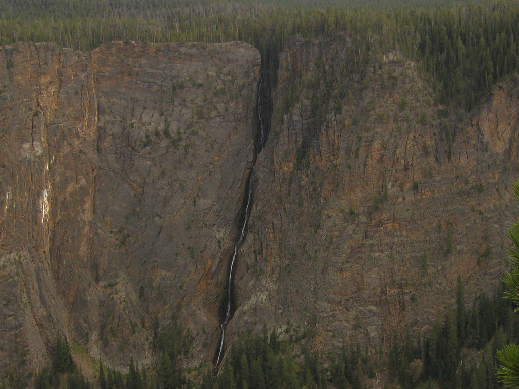
 Photo: Don Graham from Redlands, CA, USA - God bless it!, CC BY-SA 2.0 (via Wikimedia Commons)
- 9.9 mi
- round trip
- 256 ft
- climb
- 8,168 ft
- high point
- Out and back
- route
- Jul–Sep
- best months
Is Seven Mile Hole Trail open right now?
Closure in the area
There's a closure order in Yellowstone National Park. It doesn't name Seven Mile Hole Trail, so check the source for the area it covers (2 listed).
Most Park Roads Closed to All Vehicles
Park closure covering Yellowstone National Park · NPS · Yellowstone National Park
Biscuit Basin Closed Due to Hydrothermal Explosion
Park closure covering Yellowstone National Park · NPS · Yellowstone National Park
As of · Source: NPS · Yellowstone National Park. Agencies don't list every closure — check before you go.
Seven Mile Hole Trail is a 9.9-mile out-and-back hike in Yellowstone National Park in Wyoming, managed by the National Park Service. The trail rises from a low point of about 6,700 feet to a high of 8,168 feet, with a total elevation gain of 256 feet. It is rated moderate. The trail starts at the Glacial Boulder Trailhead, and the Mount Washburn Spur Trail and the Glacial Boulder climbing area both sit about 0.1 mile away. Grandview Point Trail and the Canyon Rim Trail are within a mile. Summer is the most comfortable time to go. Typical averages from the Lake Yellowstone weather station, about 12 miles away, show July and August highs around 71°F with lows in the low 40s, while winter highs stay in the 20s. A fee is charged for the hike.
Best time to go · Jul–Sep
Best time to visit Seven Mile Hole Trail
Best months: July–September. Best months have typical highs of 55–85 °F, lows of 30 °F or warmer (32 °F where the station doesn't record snow), at most one snowy day and no more than 12 wet days.
Jan
23° / 3°
17 wet
Feb
27° / 3°
15 wet
Mar
35° / 11°
14 wet
Apr
42° / 19°
12 wet
May
50° / 29°
12 wet
Jun
61° / 36°
13 wet
Jul
71° / 43°
10 wet
Aug
71° / 42°
10 wet
Sep
61° / 34°
10 wet
Oct
46° / 25°
9 wet
Nov
33° / 15°
12 wet
Dec
24° / 7°
16 wet
Typical high / low (°F) and days with rain or snow, 1991–2020. Measured at Lake Yellowstone, WY, 12.1 mi away at 7,892 ft. This station doesn't record snowfall. Source: NOAA NCEI U.S. Climate Normals 1991–2020.
Keep exploring — more trails worth the drive
 Photo: Roger Sylvia, CC BY-SA 3.0 (via Wikimedia Commons)
Artist Point-Point Sublime Trail
~1 min drive
Scenic 1.3-mile out-and-back with dramatic viewpoints and natural formations.
 Photo: Greg Willis from Denver, CO, usa, CC BY-SA 2.0 (via Wikimedia Commons)
Grandview Point trail
~1 min drive
1.12-mile out-and-back trail in Wyoming with 133 ft elevation gain and loss.
HIKE
Grand Canyon of the Yellowstone - Lookout Point
~2 min drive
Scientists think the oldest Grand Canyon of the Yellowstone formed in rock and sediments about 160,000 to 140,000 years ago. This canyon was not as deep, wide, or long as today’s canyon. Past and current hydrothermal activity altered and weakened the rhyolite, making the…
 Photo: inkknife_2000 (7.5 million views +), CC BY-SA 2.0 (via Wikimedia Commons)
Clear Lake-Ribbon Lake Trail
~2 min drive
Out-and-back alpine trail connecting Clear Lake and Ribbon Lake in Wyoming.
 Photo: cchadek, CC BY 3.0 (via Wikimedia Commons)
Wapiti Lake Trail
~3 min drive
Scenic 16.32-mile out-and-back to alpine Wapiti Lake in Wyoming.
 Photo: Don Graham from Redlands, CA, USA - God bless it!, CC BY-SA 2.0 (via Wikimedia Commons)
North Rim Trail
~2 min drive
Easy out-and-back rim hike with scenic views near North Rim.
 Photo: timlitw, CC BY-SA 3.0 (via Wikimedia Commons)
Canyon Rim Trail
~1 min drive
Short out-and-back rim walk with canyon views in Wyoming.
Photo: timlitw, CC BY-SA 3.0 (via Wikimedia Commons)Bear Aware (Canyon)
~2 min drive
Looking to rent some bear spray to carry with you on your adventure around Yellowstone, instead of purchasing a canister? To learn more and rent some bear spray, stop by the kiosk located near the Canyon Visitor Education Center or the Yurt south of the Yellowstone Tribal…
 Photo: R. Sieben, CC BY 3.0 (via Wikimedia Commons)
Howard Eaton Trail: Fishing Bridge-Canyon
~3 min drive
Moderate out-and-back hike from Fishing Bridge to Canyon through thermal landscapes.
 Photo: Greg Willis from Denver, CO, usa, CC BY-SA 2.0 (via Wikimedia Commons)
Dunraven Pass - Mount Washburn Trail
~7 min drive
7.00-mile out-and-back trail in Wyoming with 1,380 ft gain.


Map and trail data © OpenStreetMap contributors
