Doyle Creek
- 3.1 mi
- round trip
- 757 ft
- climb
- 8,208 ft
- high point
- Out and back
- route
Is DOYLE CREEK open right now?
Alert in the area
The Forest Service lists an alert for Powder River Ranger District.
Foot Creek Fire Road Closures
Agency alert covering Powder River Ranger District · Order 02-02-01-26-08 · USFS · Powder River Ranger District
As of · Source: USFS · Powder River Ranger District. Agencies don't list every closure — check before you go.
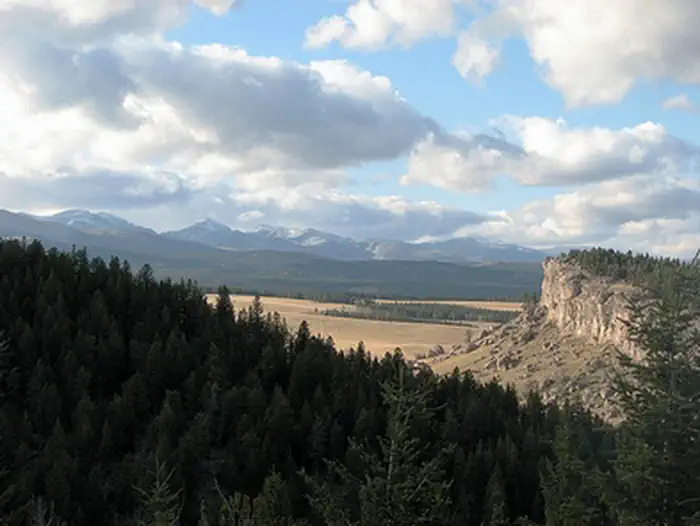
Doyle Creek is a moderate hike in Wyoming's Bighorn National Forest, within the Powder River Ranger District. The trail is an out-and-back that starts and ends near the same elevation, about 8,116 feet, and reaches a high point of 8,208 feet. The whole trip covers roughly 6.3 miles with a total climb of 757 feet and a total descent of 757 feet, making the route a steady one with a steeper stretch around the first mile, where the grade reaches about 10%. The trail is managed by the Forest Service, and Doyle Creek Campground sits just 0.3 miles away, making it the natural base for an overnight stay. Lost Cabin Campground is about 5.5 miles off, and Muddy Guard Cabin and Poison Creek Trail are both within 7 miles. The hike takes about 2.5 hours to complete. For more time on foot, Hesse Creek Cutoff lies about 6.1 miles away. Climbers can find Highway 16 granite and Crazy Woman Cliff about 9 miles from the trail.
 Doyle Creek CampgroundCampingPhoto: Recreation.gov (RIDB) / public domain0.3 mi
 Lost Cabin CampgroundCampingPhoto: Recreation.gov (RIDB) / public domain5.5 mi
- HESSE CREEK CUTOFFHiking6.1 mi
- Muddy Guard CabinCamping7 mi
 Poison Creek TrailRiver fishing7 mi
- Highway 16 graniteRock climbing8.6 mi
- Crazy Woman CliffRock climbing8.8 mi
- Middle Fork Crazy Woman CreekCanoeing9.2 mi
Source: Roamze catalog (indexable pages within 10 miles, PostGIS distance)
- Pasture ParkHiking · ~18 min drive
- Leigh CabinHiking · ~18 min drive
- Leigh Creek CrossingHiking · ~18 min drive
- Sherd Lake LoopHiking · ~24 min drive
- Virginia CreekHiking · ~19 min drive
- Trigger LakeHiking · ~22 min drive
- East Tensleep LakeHiking · ~26 min drive
- South Fork PondsHiking · ~22 min drive
- Little SourdoughHiking · ~24 min drive
- AngelineHiking · ~28 min drive
