Free — you'll pick up right here.
Watch this water
Sign up to watch it — saving subscribes you to gate, closure and report changes.
Wyoming
Poison Creek Trail
We don't cover this water yet
No agency boundary, access route or field report is mapped to it — so there is no verdict, and we won't guess. We'll tell you the moment this water has something to say.
Covered nearby
Waters within 25 miles where we do have a current picture.
Nobody's filed a report here yet — be the first.
Why you'll love it
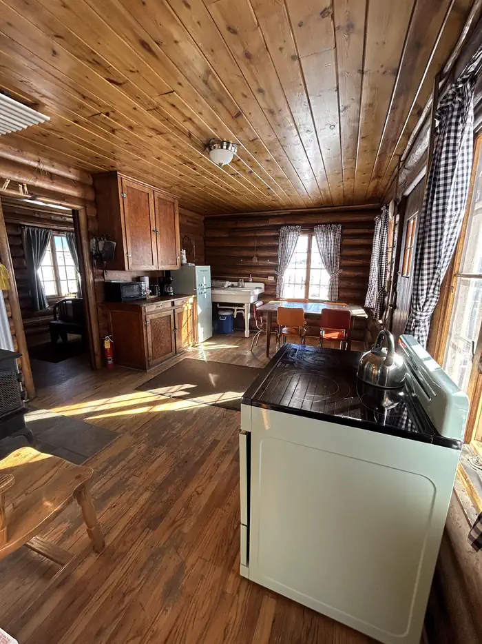

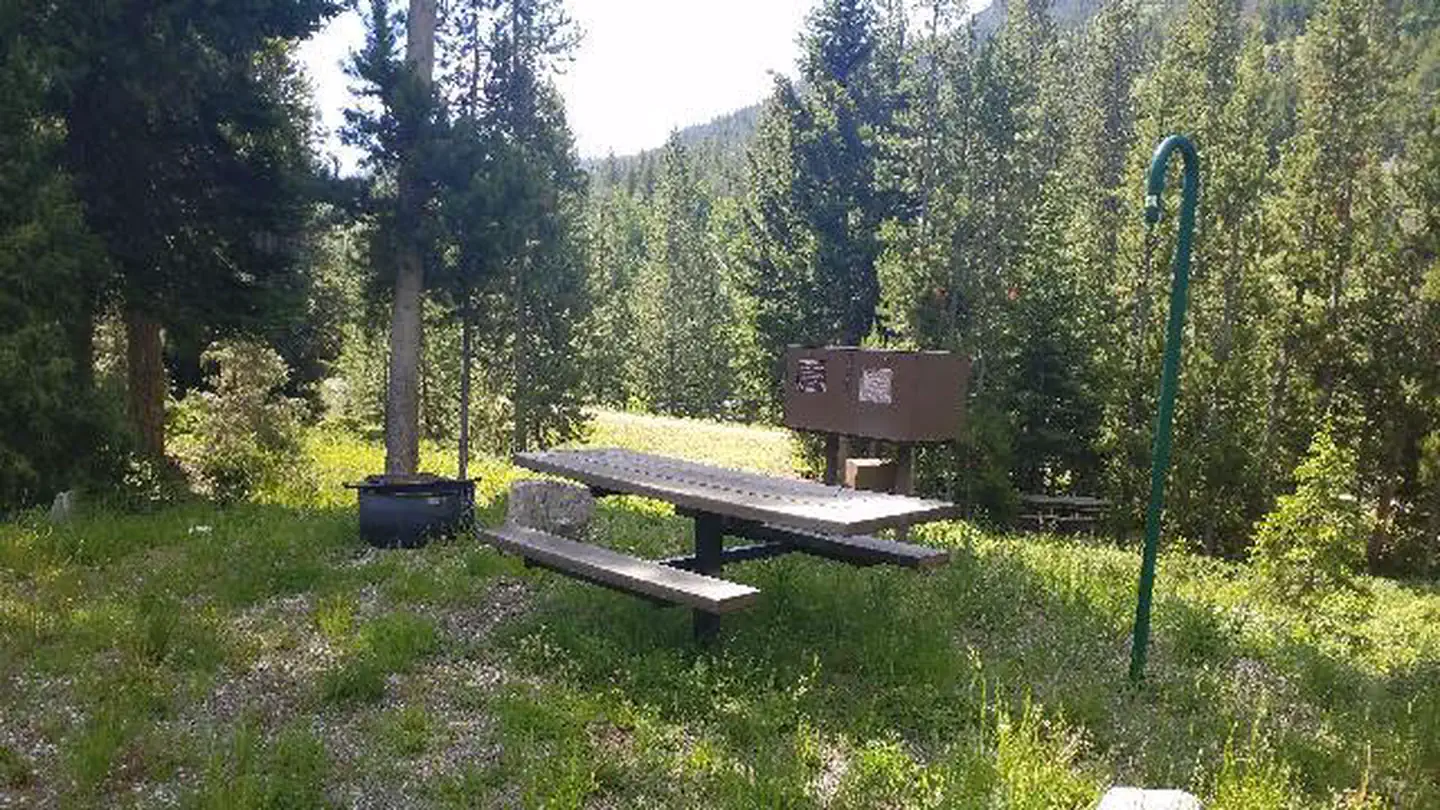
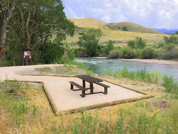
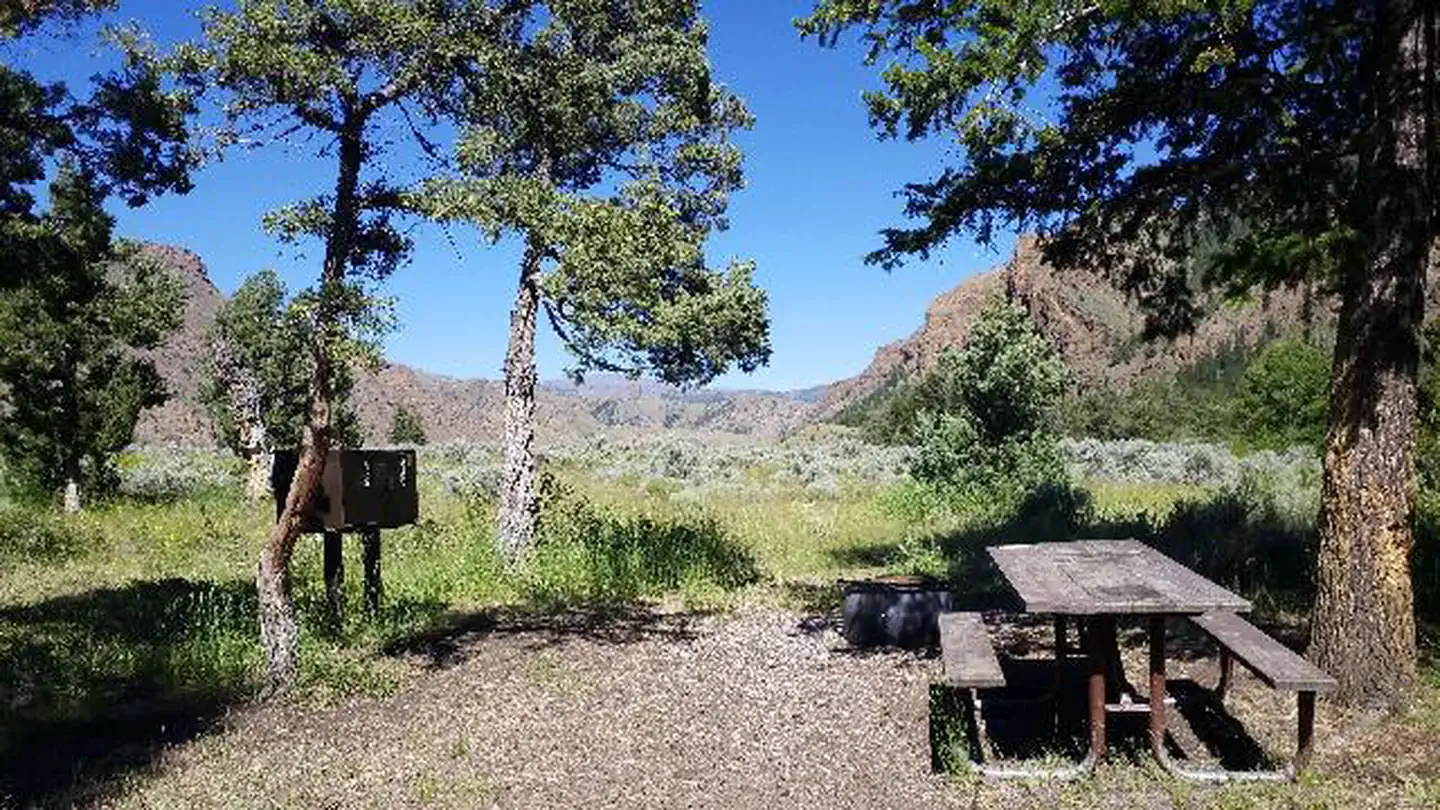
Here's your day on the water, mapped
Poison Creek Trail
AI-suggested draft · review before you go
Gear for the day
Photos
Directions & GPX
About this water
The two mile long Poison Creek Trail ambles through mountain meadows before descending steeply to Poison Creek. The first part of the trail provides spectacular views of the Bighorn Mountains and the valley below. Hikers who make it to the end are rewarded with a secluded spot along the Poison Creek. Backcountry camping is allowed in the recreation area.
Add to a trip & share
Keep exploring — more waters worth the drive
Muddy Guard Cabin
~10 min drive
A worthwhile stop near Wyoming.
Pole Creek Cabin
~14 min drive
A worthwhile stop near Wyoming.
Mosier Gulch
~28 min drive
A worthwhile stop near Wyoming.
Hunter Campground
~30 min drive
A worthwhile stop near Wyoming.
Buffalo, WY
~31 min drive
A worthwhile stop near Wyoming.
Patch Reservoir
~11 min drive
A worthwhile stop near Wyoming.
Dwight Reservoir
~15 min drive
A worthwhile stop near Wyoming.
Tass Reservoir
~15 min drive
A worthwhile stop near Wyoming.
Lyle Reservoir
~21 min drive
A worthwhile stop near Wyoming.
Smith Reservoir Number 1
~24 min drive
A worthwhile stop near Wyoming.
