
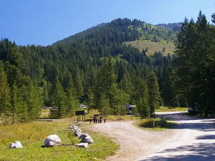
The Virginian RV Park
Hiking business nearby (~35 mi away) — hasn't claimed their Roamze page yet
Free — you'll pick up right here.
Watch this trail
Sign up to watch it — saving subscribes you to gate, closure and report changes.
Wyoming
5.5 mi
Distance
509 ft
Gain
2h 4m
Time
We won't guess. Here is exactly what we do and don't know.
What we do know
Inside Caribou-Targhee National Forest
3 managing-area boundaries mapped — agency alerts for them feed this page automatically.
Boundary data
What's missing
No access route mapped
We don't yet know which road reaches this trailhead, so we can't tell you if it's gated.
Nobody's filed a report here yet — be the first.
Why you'll love it
Carrot Ridge
AI-suggested draft · review before you go
No permit or access details on file for this trail — check with the local land manager before you go.
Carrot Ridge is a 5.5-mile out-and-back trail located in Wyoming. This route offers hikers an accessible day hike option in the state's scenic terrain. The trail follows a straightforward out-and-back format, making it easy for visitors to choose their own turnaround point based on time and energy level. The moderate distance makes Carrot Ridge suitable for hikers looking for a half-day adventure without requiring extensive preparation. The out-and-back structure eliminates navigation concerns, allowing you to focus on enjoying the landscape and wildlife viewing opportunities typical of Wyoming's backcountry. This trail is ideal for those seeking a relatively quick escape into nature while still experiencing meaningful distance on foot. Whether you're a local resident or visiting Wyoming, Carrot Ridge provides a straightforward hiking option. Check current conditions before heading out, as mountain terrain can change seasonally. Plan to bring adequate water and sun protection for this exposure-level hike.

Green Lakes
~15 min drive
2.9 mi · Easy
South Leigh
~19 min drive
15 mi · Hard
Fred's Mountain
~21 min drive
6.1 mi · Moderate
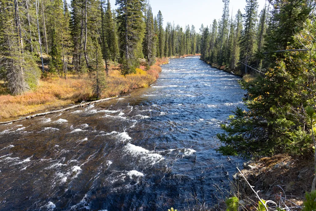
Grassy Lake Trailhead (9K6)
~22 min drive
<p>This is a more remote trailhead along the southern boundary of the park, which can be accessed by road. From this trailhead you can embark on the following trails within the park:</p> <ul> <li>Mountain Ash Creek Trail</li> </ul>
Red Mountain
~1 min drive
2.7 mi · Easy
Conant Basin
~3 min drive
20 mi · Hard

Beard's Wheatfield
~22 min drive
9.3 mi · Moderate
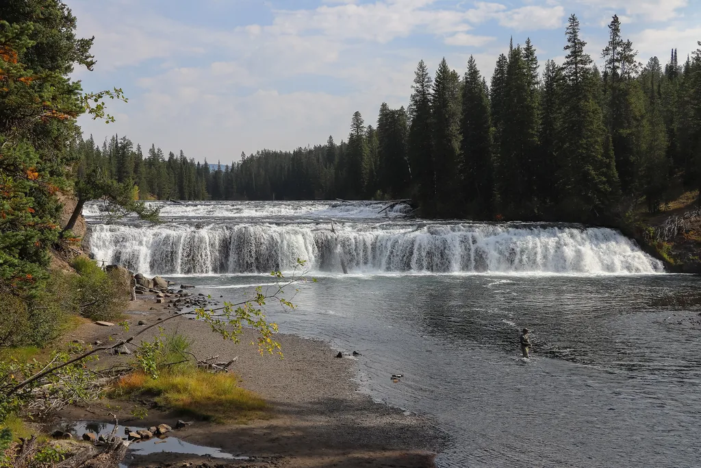
Cave Falls Trailhead (9K2)
~22 min drive
<p>This trailhead is located along the Cave Falls Road, just north of the southern park boundary. This trailhead provides access to the following trails:</p> <ul> <li>Bechler River Trail</li> <li>South Boundary Trail: Bechler Ranger Station–Grassy Lake</li> </ul> <p><b>Bechler…
Moose Mountain
~6 min drive
1.3 mi · Easy
Indian Meadows-Bear Cyn
~5 min drive
12 mi · Hard
Local operatorsoffering guided trips. You book directly with them — Roamze doesn’t take a cut.
The Virginian RV Park
Hiking business nearby (~35 mi away) — hasn't claimed their Roamze page yet