Elk Mountain
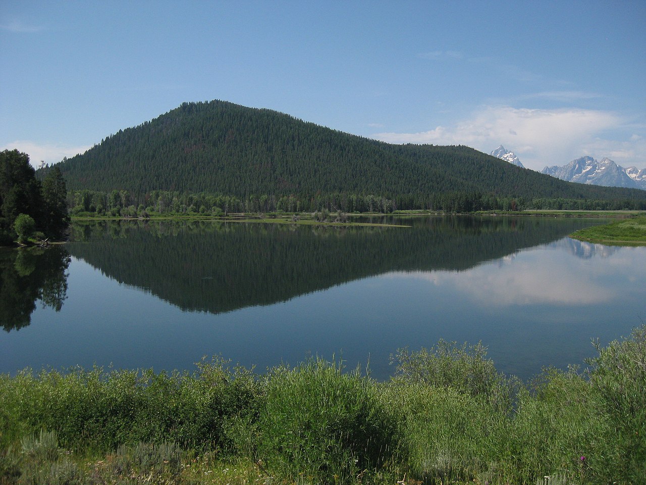
 Photo: Acroterion, CC BY-SA 4.0 (via Wikimedia Commons)
- 10,724 ft
- summit
- National Park Service
- managed by
Is Elk Mountain open right now?
Alert in the area
The National Park Service lists 2 alerts for Grand Teton National Park.
Construction in the South End of the Park
Park alert covering Grand Teton National Park · NPS · Grand Teton National Park
Construction on HWY 26/89/191
Park alert covering Grand Teton National Park · NPS · Grand Teton National Park
As of · Source: NPS · Grand Teton National Park. Agencies don't list every closure — check before you go.
Elk Mountain is a summit in Teton County, Wyoming, inside Grand Teton National Park and managed by the National Park Service. The nearest community is Colter Bay Village, about 9.5 miles away, which makes it a natural base for planning a trip to this part of the park. Rather than a single signed route, this peak is a destination set among a network of trails. Several established paths run within a few miles, so visitors can combine a look at the summit area with a longer day on the surrounding trail system. Because it lies within national park boundaries, park rules apply to everything you do here, and it is worth reviewing them before heading out. Close by, Moose Creek offers canoeing about 1.8 miles away. The Moose Basin Divide Trail and Forellen Divide Trail both lie within roughly 2.5 miles, and Owl Creek Trail is about 2.6 miles off. Any of these makes a good addition to a visit, whether you want time on the water or more miles on foot in this corner of the park.
Conditions and forecast
Daily highs and lows, wind and the chance of precipitation at the summit for the next 7 days, from the Open-Meteo model.
- Summit elevation
- 10,724 ft
- Land manager
- National Park Service
Elevation from USGS 3D Elevation Program terrain data (about 10 m resolution).
We don't know of a mapped trail or route to the summit of Elk Mountain. Plan the approach with local maps, a guidebook or a local guide, and check conditions before you go.
Questions about Elk Mountain
How tall is Elk Mountain?
10,724 ft (3,269 m).
Is there a trail to the top of Elk Mountain?
We don't know of a mapped trail or route to the summit. Plan the approach with local maps, a guidebook or a local guide.
- Wildcat Peak9,695 ft · Wyoming2 routes13 mi away
 Lunch Tree Hill6,958 ft · Wyoming2 routes13 mi awayPhoto: Miguel Hermoso Cuesta, CC BY-SA 4.0 (via Wikimedia Commons)
- Grand View Point7,588 ft · Wyoming1 route13 mi away
 Table Mountain11,103 ft · Wyoming1 route16 mi awayPhoto: Mike Weston from La Honda, CA, CC BY 2.0 (via Wikimedia Commons)
 Grand Teton13,763 ft · Wyoming1 route16 mi awayPhoto: NPS, Public domain (via Wikimedia Commons)
 Shadow Mountain8,256 ft · Wyoming1 route21 mi awayPhoto: LikeGrantTookRichmond, CC BY-SA 3.0 (via Wikimedia Commons)
- Moose CreekCanoeing1.8 mi
- Moose Basin Divide TrailHiking2.4 mi
- Forellen Divide TrailHiking2.5 mi
- Owl Creek TrailHiking2.6 mi
- Owl-Berry Cutoff TrailHiking3 mi
- Moose MountainHiking4.1 mi
- Jackass Pass TrailHiking4.1 mi
- Mount MoranRock climbing9.9 mi
Source: Roamze catalog (indexable pages within 10 miles, PostGIS distance)
- Owl PeakSummit · Next doorPhoto: Acroterion, CC BY-SA 4.0 (via Wikimedia Commons)
 Ranger PeakSummit · ~7 min drivePhoto: Miguel Hermoso Cuesta, CC BY-SA 4.0 (via Wikimedia Commons)
 Bivouac PeakSummit · ~13 min drivePhoto: Acroterion, CC BY-SA 4.0 (via Wikimedia Commons)
 Mount MoranSummit · ~17 min drivePhoto: Carsten Steger, CC BY-SA 4.0 (via Wikimedia Commons)
 Thor PeakSummit · ~17 min drivePhoto: Acroterion, CC BY-SA 4.0 (via Wikimedia Commons)
 Mount WoodringSummit · ~21 min drivePhoto: Acroterion, CC BY-SA 4.0 (via Wikimedia Commons)
- Lunch Tree HillSummit · ~22 min drivePhoto: Miguel Hermoso Cuesta, CC BY-SA 4.0 (via Wikimedia Commons)
 Rockchuck PeakSummit · ~23 min drivePhoto: Acroterion, CC BY-SA 4.0 (via Wikimedia Commons)
 Signal MountainSummit · ~25 min drivePhoto: Thomas Kriese, CC BY 2.0 (via Wikimedia Commons)
 Mount OwenSummit · ~27 min drivePhoto: Acroterion, CC BY-SA 4.0 (via Wikimedia Commons)

