Bliss Pass Trail
- 6.0 mi
- round trip
- 4,568 ft
- climb
- 9,409 ft
- high point
- Out and back
- route
Is Bliss Pass Trail open right now?
Closure in the area
There's a closure order in Yellowstone National Park. It doesn't name Bliss Pass Trail, so check the source for the area it covers (2 listed).
Most Park Roads Closed to All Vehicles
Park closure covering Yellowstone National Park · NPS · Yellowstone National Park
Biscuit Basin Closed Due to Hydrothermal Explosion
Park closure covering Yellowstone National Park · NPS · Yellowstone National Park
As of · Source: NPS · Yellowstone National Park. Agencies don't list every closure — check before you go.
Bliss Pass Trail is a 12.1-mile out-and-back hike in Yellowstone National Park in Wyoming, managed by the National Park Service. The route rises from about 7,766 feet to a high point of 9,409 feet, with a total elevation gain of 4,568 feet over the full trip. The climb is rated expert, and the trail's length and steepness make it a demanding day in the park. The trip is roughly 6.5 hours, so plan on a full day with plenty of time for breaks. The route starts at about 7,766 feet and ends at the same level, with the high point at Bliss Pass around 9,409 feet. Nearby, Anderson Ridge and the Barronette Ski Trail sit about 4 miles away, and Slough Creek Trail is under 5 miles off. For an overnight stay, Soda Butte Campground is about 10 miles away.
- Barronette Ski TrailSki touring4.2 mi
- Anderson RidgeHiking4.2 mi
- Tucker CreekHiking4.3 mi
- Slough Creek TrailHiking4.7 mi
 Pebble Creek TrailHikingPhoto: Greg Willis from Denver, CO, usa, CC BY-SA 2.0 (via Wikimedia Commons)5 mi
- Bannock Ski TrailHiking5.3 mi
- Cache CreekCanoeing9.1 mi
- Soda Butte CampgroundCamping9.8 mi
Source: Roamze catalog (indexable pages within 10 miles, PostGIS distance)
- Warm Creek Trailhead (3K4)Hiking · ~6 min drive
- Pebble Creek TrailHiking · ~9 min drivePhoto: Greg Willis from Denver, CO, usa, CC BY-SA 2.0 (via Wikimedia Commons)
- Trout Lake TrailheadHiking · ~12 min drive
 Sheep Creek BasinHiking · ~13 min drivePhoto: Matt Lavin, CC BY-SA 2.0 (via Flickr)
 Specimen Ridge TrailHiking · ~16 min drivePhoto: Greg Willis from Denver, CO, usa, CC BY-SA 2.0 (via Wikimedia Commons)
- Lamar Valley - Predators and PreyHiking · ~16 min drive
 Thunderer Cutoff TrailHiking · ~9 min drivePhoto: Greg Willis, CC BY-SA 3.0 (via Wikimedia Commons)
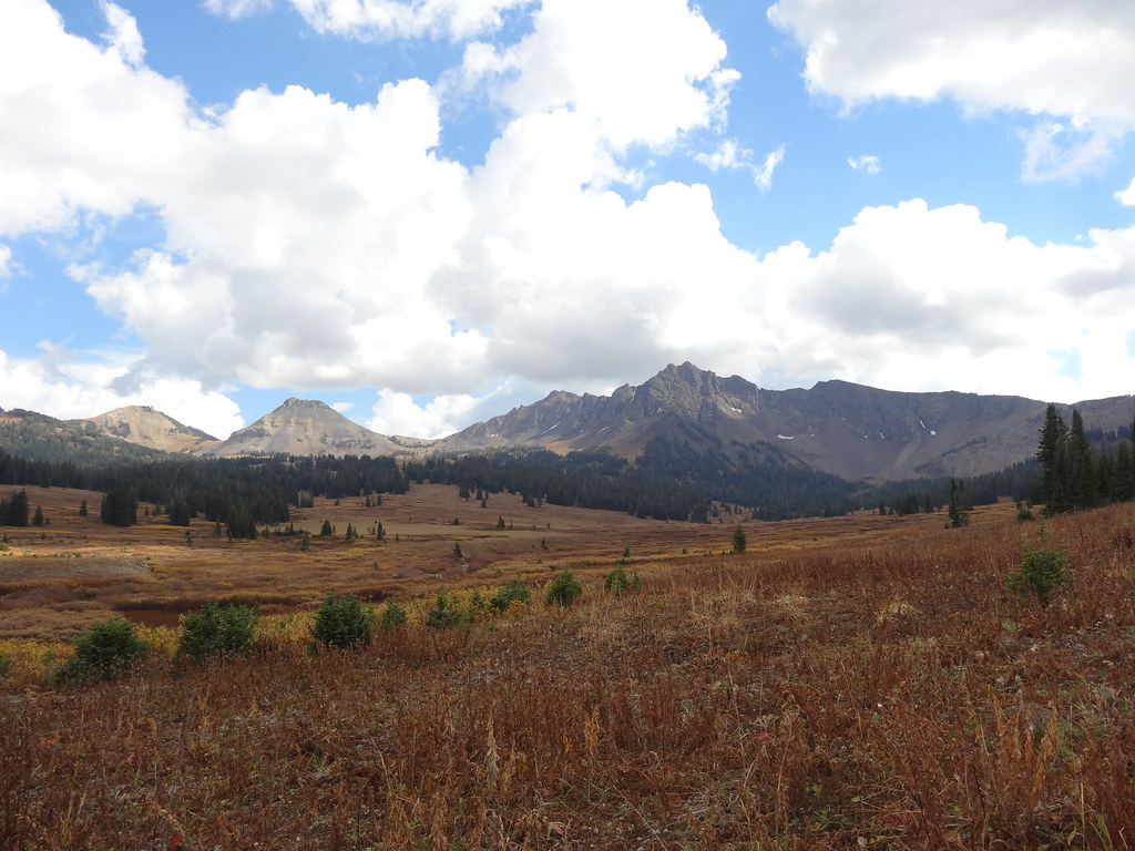 Wolverine Pass CutoffHiking · ~13 min drivePhoto: Forest Service - Northern Region, Public Domain Mark (via Flickr)
- Black Warrior TrailHiking · ~14 min drivePhoto: Matt Lavin, CC BY-SA 2.0 (via Flickr)
- Slough Creek TrailHiking · ~8 min drive
Also worth it near here
- Barronette Ski TrailSki touring · ~7 min drive
 Abiathar PeakSummit · ~7 min drivePhoto: Mike Cline, Public domain (via Wikimedia Commons)
 Pebble Creek CampgroundCamping · ~10 min drivePhoto: Yellowstone National Park from Yellowstone NP, USA, Public domain (via Wikimedia Commons)
- Lost WolverineMountain biking · ~11 min drive
