Black Warrior Trail
 Photo: Matt Lavin, CC BY-SA 2.0 (via Flickr)
- 1.8 mi
- round trip
- 1,419 ft
- climb
- 9,711 ft
- high point
- Out and back
- route
Is Black Warrior Trail open right now?
Closure in the area
There's a closure order in Custer Gallatin National Forest. It doesn't name Black Warrior Trail, so check the source for the area it covers (14 listed).
NFSR #1700 South Plateau Road Closure
Agency closure covering Custer Gallatin National Forest · USFS · Custer Gallatin National Forest
Tom Miner Campground Closure
Agency closure covering Gardiner Ranger District · Order 01-11-03-26-02 · USFS · Gardiner Ranger District
Hyalite Porcupine Buffalo Horn Summer Interim Travel Order and Map and Order # 01-11-00-26-02
Agency closure covering Custer Gallatin National Forest · Order 01-11-00-26-02 · USFS · Custer Gallatin National Forest
Hyalite Porcupine Buffalo Horn Winter Interim Travel Order and Map Order Number: #01-11-00-26-01
Agency closure covering Custer Gallatin National Forest · USFS · Custer Gallatin National Forest
Glacier Lake Road #2421 Closure Order Number: # 01-11-82-26- 01
Agency closure covering Custer Gallatin National Forest · Order 01-11-82-26- · USFS · Custer Gallatin National Forest
As of · Source: USFS · Custer Gallatin National Forest. Agencies don't list every closure — check before you go.
Black Warrior Trail is a moderate out-and-back hike in the Gardiner Ranger District of Custer Gallatin National Forest in Montana. The route runs about 3.5 miles from end to end, and the total climb is roughly 1,400 feet, with the highest point reaching 9,711 feet. It's a steady climb all the way, with the steepest stretch around the 1.5-mile mark, where the grade reaches about 21 percent. The trail starts at 9,235 feet and ends at the same elevation, so the total gain and loss are each about 1,400 feet. The nearest town is Gardiner, and the trail sits within the Forest Service's land units in the district. With the Forest Service managing the land, plan on a two-hour trip for the round. Sheep Creek Basin is the closest nearby hike, about 0.7 miles away, and Henderson Mountain Trail is about 1.3 miles away. Soda Butte Campground, about 1.9 miles off, is the closest place to camp. Colter campground lies about 2.7 miles away.
- Sheep Creek BasinHikingPhoto: Matt Lavin, CC BY-SA 2.0 (via Flickr)0.7 mi
- Henderson Mountain TrailHiking1.3 mi
- Lost Wolverine TrailHiking1.7 mi
- Bannock TrailHiking1.7 mi
- Soda Butte CampgroundCamping1.9 mi
- ColterCamping2.7 mi
- Fox Creek CampgroundCamping7 mi
- Pilot CreekCanoeing7 mi
Source: Roamze catalog (indexable pages within 10 miles, PostGIS distance)
- Sheep Creek BasinHiking · ~1 min drivePhoto: Matt Lavin, CC BY-SA 2.0 (via Flickr)
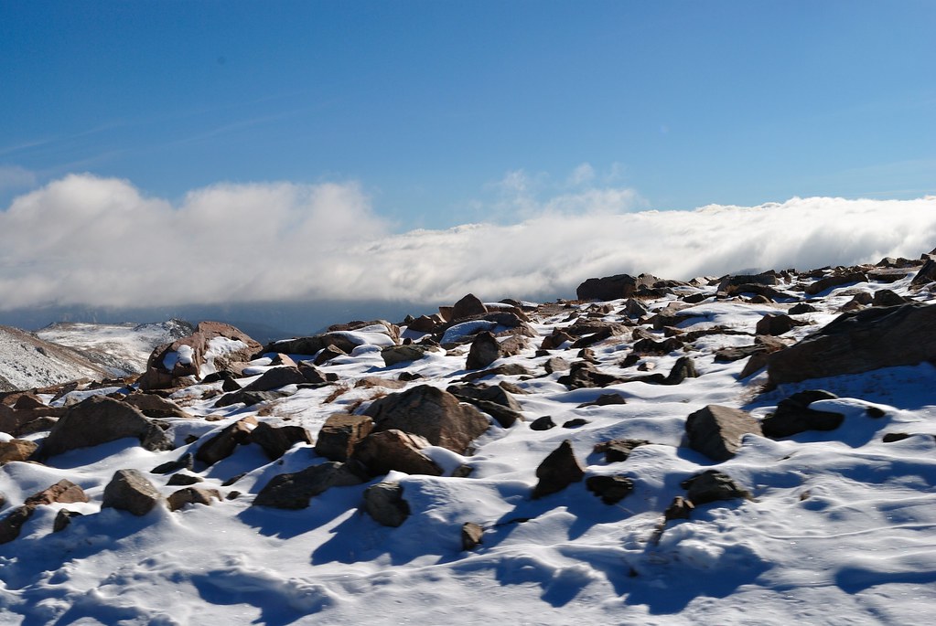 Soda Butte Creek TrailHiking · ~4 min drivePhoto: richsandroid, CC BY 2.0 (via Flickr)
- Warm Creek Trailhead (3K4)Hiking · ~8 min drive
- Lower Lady of the LakeHiking · ~5 min drive
- Bliss Pass TrailHiking · ~14 min drive
- Henderson Mountain TrailHiking · ~2 min drive
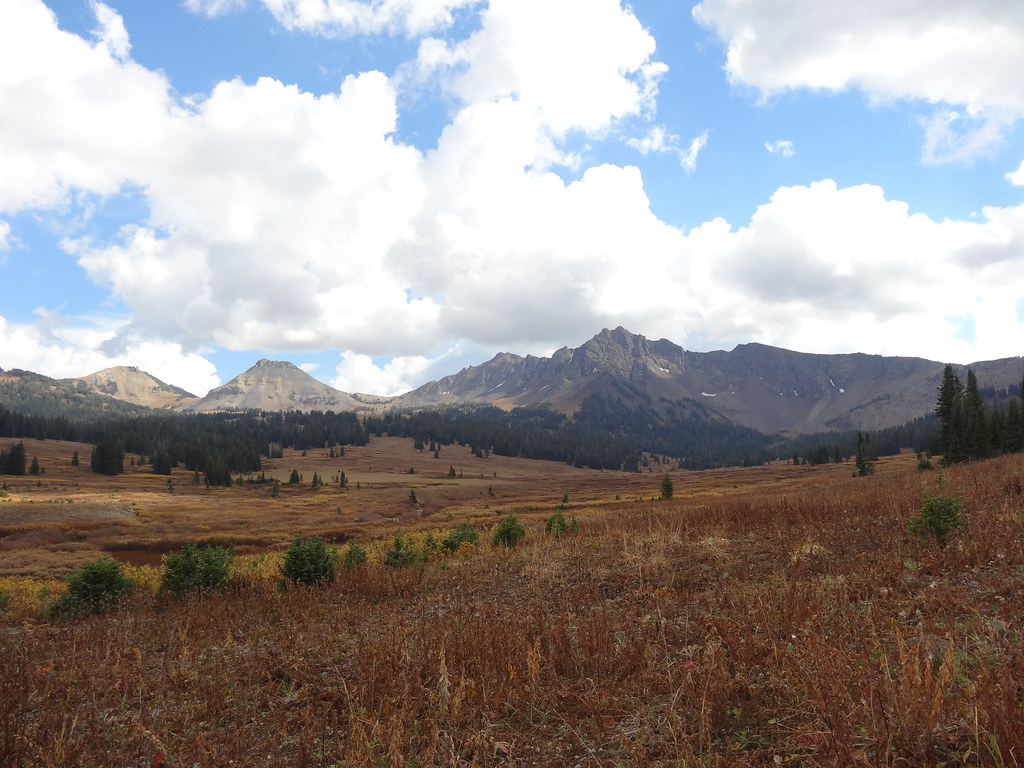 Wolverine Pass CutoffHiking · ~6 min drivePhoto: Forest Service - Northern Region, Public Domain Mark (via Flickr)
- Lake Abundance CreekHiking · ~9 min drive
- Woody CreekHiking · ~4 min drive
- Lost Wolverine TrailHiking · ~3 min drive

Map and trail data © OpenStreetMap contributors
