Barronette Ski Trail
- 3.9 mi
- round trip
- 766 ft
- climb
- 7,224 ft
- high point
- Out and back
- route
- Jul–Aug
- best months
Is Barronette Ski Trail open right now?
Closure in the area
There's a closure order in Yellowstone National Park. It doesn't name Barronette Ski Trail, so check the source for the area it covers (2 listed).
Most Park Roads Closed to All Vehicles
Park closure covering Yellowstone National Park · NPS · Yellowstone National Park
Biscuit Basin Closed Due to Hydrothermal Explosion
Park closure covering Yellowstone National Park · NPS · Yellowstone National Park
As of · Source: NPS · Yellowstone National Park. Agencies don't list every closure — check before you go.
Barronette Ski Trail is a ski touring route in Yellowstone National Park in Wyoming, managed by the National Park Service. The trail is an out-and-back that starts at about 7,034 feet and climbs to a high point of 7,224 feet, with a total elevation gain of 230 feet over a round trip of about 7.8 miles. The steepest stretch comes at about 2.6 miles in, with a grade of about 6 percent. Summer is the most comfortable time to go. Typical averages from a nearby weather station in Cooke City, Montana, show July highs around 74°F with lows near 39°F, while winter highs stay in the 20s and lows drop to about 6°F. A fee is charged for this route. The closest trails are Pebble Creek Trail and Thunderer Cutoff Trail, both within about 1.7 miles, and Trout Lake Trailhead is about 3.7 miles away. Cache Creek, a canoeing spot, is about 4.9 miles off.
 Pebble Creek TrailHikingPhoto: Greg Willis from Denver, CO, usa, CC BY-SA 2.0 (via Wikimedia Commons)1.6 mi
 Thunderer Cutoff TrailHikingPhoto: Greg Willis, CC BY-SA 3.0 (via Wikimedia Commons)1.7 mi
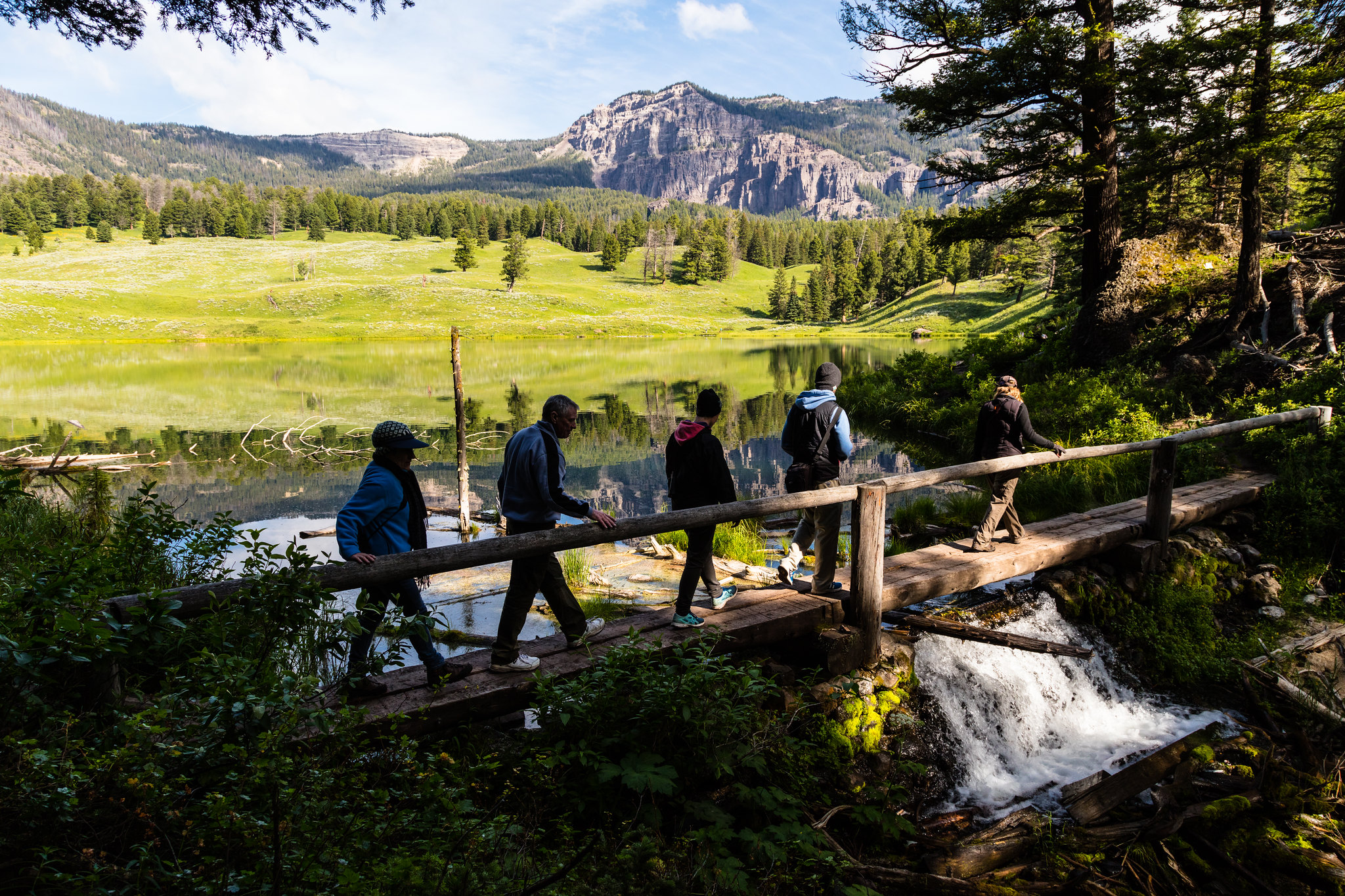 Trout Lake TrailheadHikingPhoto: NPS / Jacob W. Frank3.7 mi
- Bliss Pass TrailHiking4.2 mi
- Cache CreekCanoeing4.9 mi
- Bannock Ski TrailHiking5.6 mi
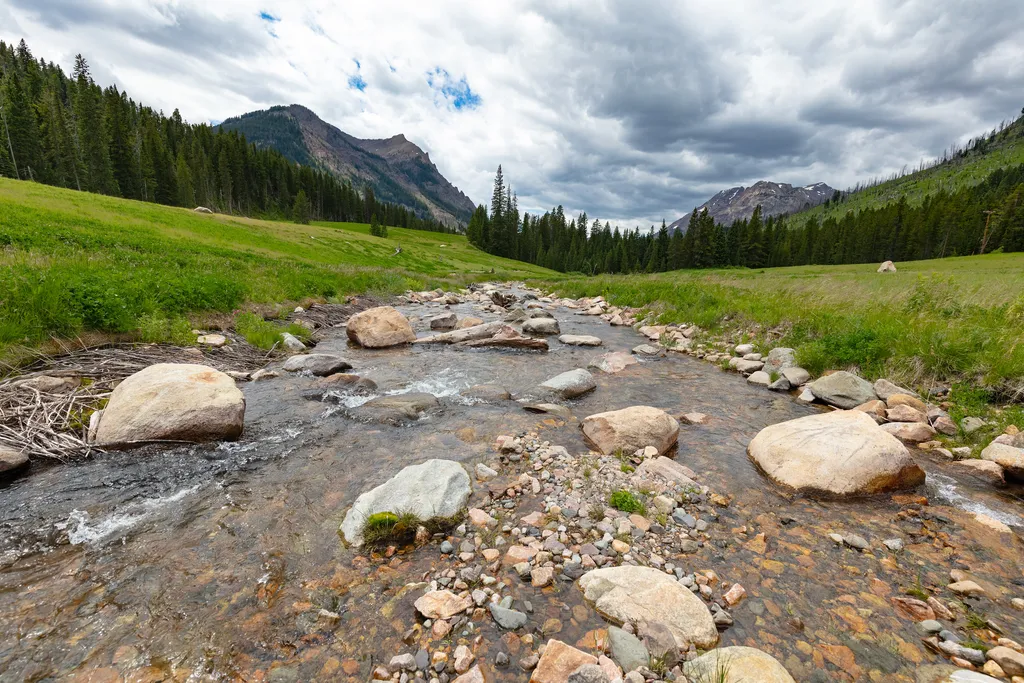 Soda Butte CreekHikingPhoto: NPS / public domain5.7 mi
 Specimen Ridge TrailHikingPhoto: Greg Willis from Denver, CO, usa, CC BY-SA 2.0 (via Wikimedia Commons)6.6 mi
Source: Roamze catalog (indexable pages within 10 miles, PostGIS distance)
- Schultz Knob (Xc)Cross-country skiing · ~47 min drive
- Pine Bear (Xc)Cross-country skiing · ~47 min drive
- Bear Fork (Xc)Cross-country skiing · ~47 min drive
- Bear Creek (SnowmoCross-country skiing · ~48 min drive
- Sleeping Giant Winter Sports AreaDownhill skiing · ~55 min drive
- Kepler Cascade Ski TrailSki touring · ~1h 25m drive
- Rollercoaster (Xc)Cross-country skiing · ~47 min drive
- Lobo (Xc)Cross-country skiing · ~47 min drive
- Lower Lake ForkCross-country skiing · ~1h 1m drive
- Red Lodge MountainDownhill skiing · ~1h 8m drive
Also worth it near here
- Pebble Creek TrailHiking · ~3 min drivePhoto: Greg Willis from Denver, CO, usa, CC BY-SA 2.0 (via Wikimedia Commons)
 Barronette PeakSummit · ~4 min drivePhoto: J Schmidt, Public domain (via Wikimedia Commons)
 Pebble Creek CampgroundCamping · ~4 min drivePhoto: Yellowstone National Park from Yellowstone NP, USA, Public domain (via Wikimedia Commons)
- Cache CreekCanoeing · ~8 min drive
Best time to visit Barronette Ski Trail
Best months: July–August. Best months have typical highs of 55–85 °F, lows of 30 °F or warmer (32 °F where the station doesn't record snow), at most one snowy day and no more than 12 wet days.
Jan
24° / 6°
17 wet
Feb
29° / 7°
13 wet
Mar
37° / 14°
13 wet
Apr
43° / 21°
13 wet
May
54° / 28°
14 wet
Jun
64° / 34°
14 wet
Jul
74° / 39°
11 wet
Aug
71° / 38°
11 wet
Sep
62° / 31°
10 wet
Oct
47° / 24°
11 wet
Nov
31° / 13°
14 wet
Dec
22° / 6°
17 wet
Typical high / low (°F) and days with rain or snow, 1991–2020. Measured at Cooke City 2 W, MT, 6.8 mi away at 7,483 ft. This station doesn't record snowfall. Source: NOAA NCEI U.S. Climate Normals 1991–2020.
Facts about this route
Map and trail data © OpenStreetMap contributors
