Bighorn Pass Trail
- 19.4 mi
- round trip
- 4,036 ft
- climb
- 9,102 ft
- high point
- Out and back
- route
- Jul–Sep
- best months
Is Bighorn Pass Trail open right now?
Closure in the area
There's a closure order in Yellowstone National Park. It doesn't name Bighorn Pass Trail, so check the source for the area it covers (2 listed).
Most Park Roads Closed to All Vehicles
Park closure covering Yellowstone National Park · NPS · Yellowstone National Park
Biscuit Basin Closed Due to Hydrothermal Explosion
Park closure covering Yellowstone National Park · NPS · Yellowstone National Park
As of · Source: NPS · Yellowstone National Park. Agencies don't list every closure — check before you go.
Bighorn Pass Trail is a long, steep out-and-back hike in Yellowstone National Park in Wyoming, managed by the National Park Service. The route starts at about 7,468 feet and climbs to a high point of 9,102 feet, with a total elevation gain of 4,036 feet over the full round trip. That makes it a demanding day, and the trail is rated expert. Summer is the most comfortable time to go. Typical averages from the Lake Yellowstone weather station, about 29 miles away, show July and August highs around 71°F with lows in the low 40s. That station sits roughly 1,200 feet below the trail, so temperatures on the pass run cooler. The trip takes about 15 hours. Sheepeater Cliff is the closest nearby destination, about 2 miles away, and Obsidian Creek and The Gallatin Range are each within about 3 miles. The Gardner River, a paddling route, is about 4 miles off.
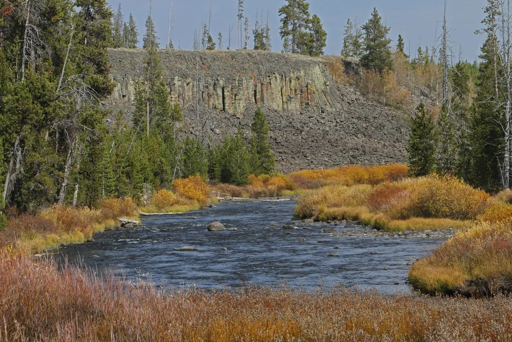 Sheepeater CliffHikingPhoto: NPS / public domain1.8 mi
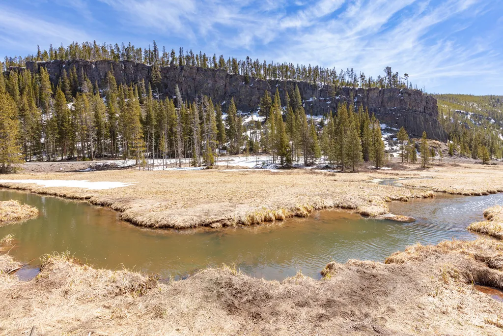 Obsidian CreekHikingPhoto: NPS / public domain2.8 mi
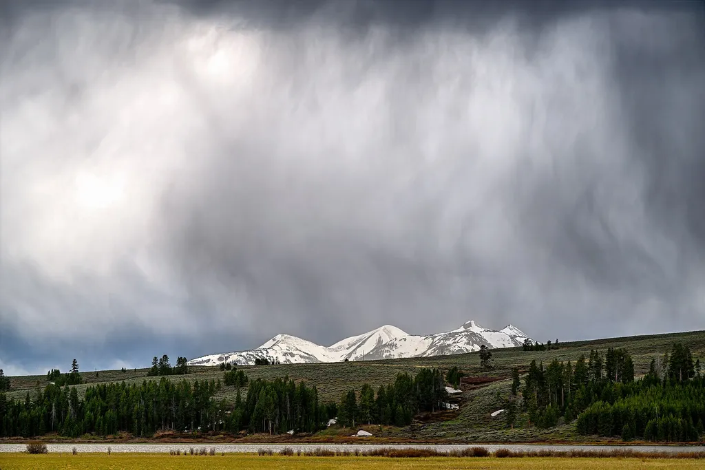 The Gallatin RangeHikingPhoto: Eric Kilby — Wikimedia Commons (CC BY-SA 2.0)3 mi
 Gardner RiverCanoeingPhoto: Jo Suderman, Public domain (via Wikimedia Commons)3.7 mi
 Bunsen Peak TrailHikingPhoto: cchadek, CC BY 3.0 (via Wikimedia Commons)3.8 mi
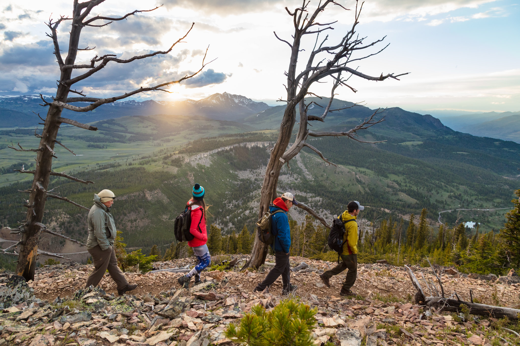 Bunsen Peak Trailhead (1K4)HikingPhoto: USGS Communications and Publishing — Wikimedia Commons (Public domain)3.8 mi
 Golden GateHikingPhoto: USGS Communications and Publishing — Wikimedia Commons (Public domain)4.1 mi
 The HoodoosRock climbingPhoto: Ken Lund, CC BY-SA 2.0 (via Flickr)4.8 mi
Source: Roamze catalog (indexable pages within 10 miles, PostGIS distance)
- Obsidian CreekHiking · ~5 min drive
- Bunsen Peak TrailHiking · ~7 min drivePhoto: cchadek, CC BY 3.0 (via Wikimedia Commons)
 Snow Pass TrailHiking · ~9 min drivePhoto: cchadek, CC BY 3.0 (via Wikimedia Commons)
- Sportsman Lake TrailHiking · ~9 min drivePhoto: cchadek, CC BY 3.0 (via Wikimedia Commons)
 Lava Creek TrailHiking · ~13 min drivePhoto: R. Sieben, CC BY 3.0 (via Wikimedia Commons)
- The Gallatin RangeHiking · ~5 min drive
- Bunsen Peak Trailhead (1K4)Hiking · ~7 min drive
- Clagett Butte TrailHiking · ~10 min drivePhoto: cchadek, CC BY 3.0 (via Wikimedia Commons)
 Solfatara Creek TrailHiking · ~12 min drivePhoto: Greg Willis from Denver, CO, usa, CC BY-SA 2.0 (via Wikimedia Commons)
- Howard Eaton Trail: Mammoth-Golden GateHiking · ~10 min drive
Also worth it near here
- Swan LakeLake fishing · ~5 min drive
- Gardner RiverCanoeing · ~6 min drivePhoto: Jo Suderman, Public domain (via Wikimedia Commons)
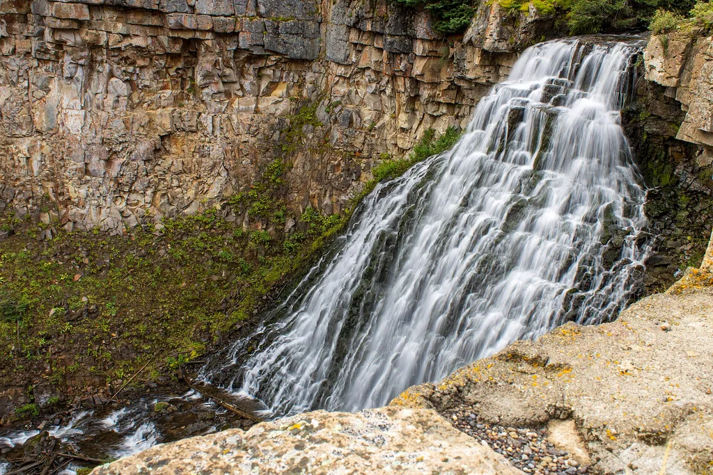
 Rustic FallsWaterfall · ~7 min drivePhoto: James St. John, CC BY 2.0 (via Wikimedia Commons)
 Antler PeakSummit · ~7 min drivePhoto: J Schmidt, Public domain (via Wikimedia Commons)
Best time to visit Bighorn Pass Trail
Best months: July–September. Best months have typical highs of 55–85 °F, lows of 30 °F or warmer (32 °F where the station doesn't record snow), at most one snowy day and no more than 12 wet days.
Jan
23° / 3°
17 wet
Feb
27° / 3°
15 wet
Mar
35° / 11°
14 wet
Apr
42° / 19°
12 wet
May
50° / 29°
12 wet
Jun
61° / 36°
13 wet
Jul
71° / 43°
10 wet
Aug
71° / 42°
10 wet
Sep
61° / 34°
10 wet
Oct
46° / 25°
9 wet
Nov
33° / 15°
12 wet
Dec
24° / 7°
16 wet
Typical high / low (°F) and days with rain or snow, 1991–2020. Measured at Lake Yellowstone, WY, 28.6 mi away at 7,892 ft. The station sits about 1,200 ft lower than this place, so expect it a little cooler here. This station doesn't record snowfall. Source: NOAA NCEI U.S. Climate Normals 1991–2020.
