Line Creek Plateau
- 15.9 mi
- round trip
- 333 ft
- climb
- 10,129 ft
- high point
- Out and back
- route
Is Line Creek Plateau open right now?
Closure in the area
There's a closure order in Beartooth Ranger District. It doesn't name Line Creek Plateau, so check the source for the area it covers.
Pine Grove Campground Closure
Agency closure covering Beartooth Ranger District · Order 01-11-82-26-04 · USFS · Beartooth Ranger District
Morrison Jeep Trail
Agency alert covering Shoshone National Forest · USFS · Shoshone National Forest
Food Storage Order
Agency alert covering Beartooth Ranger District · Order 01-11-00-23-02 · USFS · Beartooth Ranger District
As of · Source: USFS · Beartooth Ranger District. Agencies don't list every closure — check before you go.
Line Creek Plateau is a long, out-and-back hike in Montana's Shoshone National Forest, within the Beartooth Ranger District. The trail stretches about 16 miles, rising from a low point of 9,392 feet to a high point of 10,129 feet, with a one-way climb of 333 feet. The Forest Service manages the land, and the trail carries natural surface, allowing both horses and bikes. The trip runs from June through September. Parking is labeled Line Creek Plateau. Because the route is over 15 miles, plan a full day, and bring supplies for the full length rather than an afternoon outing. Nearby, Twin Lakes Trail sits about a mile away and Tolman Mountain Trail about 2.3 miles off. M-K Campground and Greenough Lake are both within 4 miles, and Beartooth Pass, a climbing area, is about 4 miles away.
- Twin Lakes TrailHiking1.2 mi
- Tolman Mountain TrailHiking2.3 mi
- M-K CampgroundCamping2.8 mi
 Greenough LakeHikingPhoto: Forest Service - Northern Region, Public Domain Mark (via Flickr)3.4 mi
- Limber PineCamping3.8 mi
- Beartooth PassRock climbing4 mi
- Headstrong ButtressRock climbing6.2 mi
- Bennett CreekCanoeing9 mi
Source: Roamze catalog (indexable pages within 10 miles, PostGIS distance)
- Greenough LakeHiking · ~6 min drivePhoto: Forest Service - Northern Region, Public Domain Mark (via Flickr)
 Lake ForkHiking · ~9 min drivePhoto: Forest Service - Northern Region, Public Domain Mark (via Flickr)
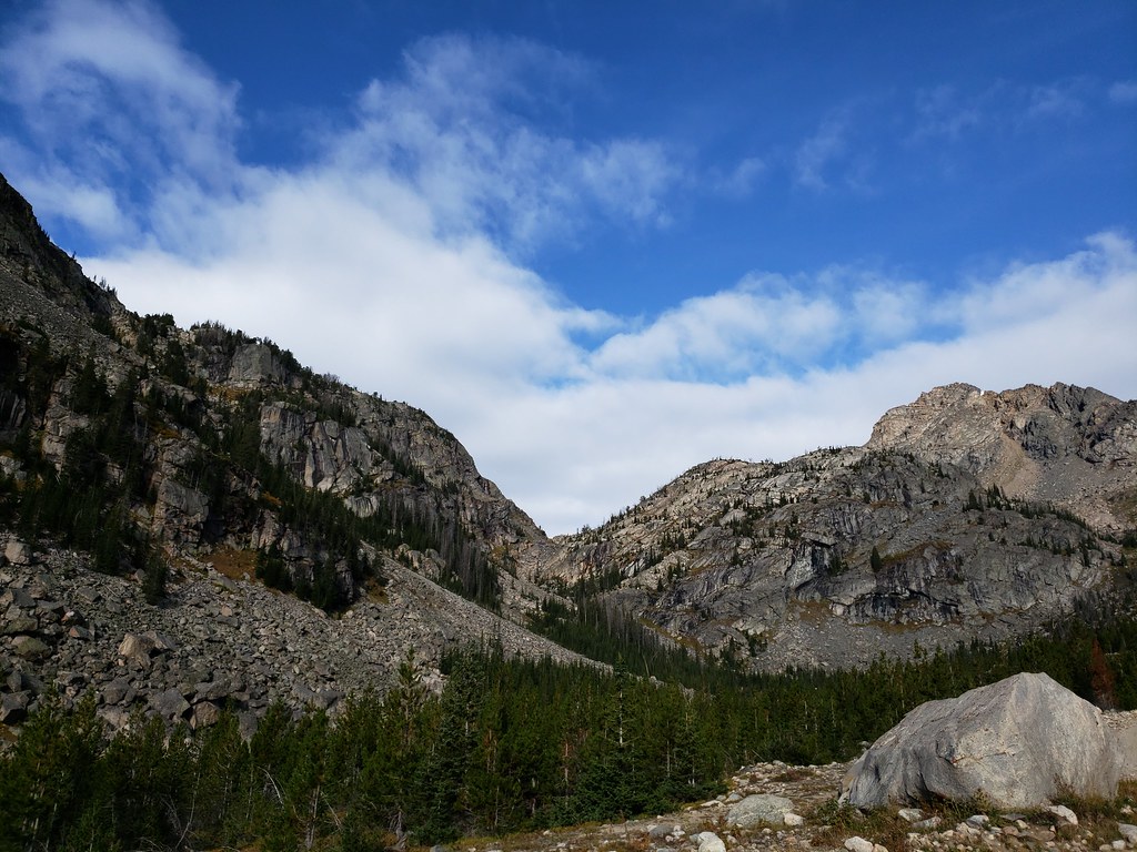 Glacier LakeHiking · ~10 min drivePhoto: Forest Service - Northern Region, Public Domain Mark (via Flickr)
 Parkside TrailHiking · ~7 min drivePhoto: Forest Service - Northern Region, Public Domain Mark (via Flickr)
 Bear TrackHiking · ~11 min drivePhoto: Matt Lavin, CC BY-SA 2.0 (via Flickr)
- Moon Lake TrailHiking · ~10 min drivePhoto: Forest Service - Northern Region, Public Domain Mark (via Flickr)
 Lower Lake Fork TrailHiking · ~9 min drivePhoto: Forest Service - Northern Region, Public Domain Mark (via Flickr)
 Beartooth LoopHiking · ~11 min drivePhoto: Chris Light, CC BY-SA 4.0 (via Wikimedia Commons)
- Lower Parkside TrailHiking · ~7 min drive
 Glacier Lake TrailHiking · ~12 min drivePhoto: Matt Lavin from Bozeman, Montana, USA, CC BY-SA 2.0 (via Wikimedia Commons)
Also worth it near here
