Silver Star Mountain
- 4,357 ft
- summit
- 2
- ways up
- Forest Service
- managed by
Is Silver Star Mountain open right now?
Alert in the area
The Forest Service lists 6 alerts for Gifford Pinchot National Forest.
Fire Restrictions
Agency alert covering Gifford Pinchot National Forest · USFS · Gifford Pinchot National Forest
Seasonal Road Closures
Agency alert covering Gifford Pinchot National Forest · USFS · Gifford Pinchot National Forest
Road Repairs & Road Closures in 2026
Agency alert covering Gifford Pinchot National Forest · USFS · Gifford Pinchot National Forest
Washout on Forest Road 93
Agency alert covering Gifford Pinchot National Forest · USFS · Gifford Pinchot National Forest
Upper State Route 504 closed at milepost 45.2 due to large slide
Agency alert covering Gifford Pinchot National Forest · USFS · Gifford Pinchot National Forest
As of · Source: USFS · Gifford Pinchot National Forest. Agencies don't list every closure — check before you go.
Silver Star Mountain is a summit of about 4,357 feet in Skamania County, Washington, on land managed by the Forest Service. It sits within the Mount St. Helens National Volcanic Monument and the Mt. Adams Ranger District of Gifford Pinchot National Forest, and the nearest town is Fern Prairie, about 11 miles away. The peak is close to several named routes. The Silver Star Summit hike and the Indian Pits and Sturgeon hikes all start within about a quarter mile of the summit. Nearby, the Chimney Rocks climbing area is about 3 miles away, and Sunset Campground is about 5 miles away.
Conditions and forecast
Daily highs and lows, wind and the chance of precipitation at the summit and route start for the next 7 days, from the Open-Meteo model.
- Summit elevation
- 4,357 ft
- Land manager
- Forest Service
Elevation from USGS 3D Elevation Program terrain data (about 10 m resolution).
- Silver Star SummitEasyabout 164 ft of climbing0.4 mi round trip
- Silver StarHardabout 4,164 ft of climbing8.0 mi round trip
Compare the routes Silver Star Summit Silver Star Climbing About 164 ft About 4,164 ft Round trip 0.4 mi 8.0 mi Difficulty Easy Hard Terrain Hike Hike Map © Mapbox © OpenStreetMap contributors Questions about Silver Star Mountain
How tall is Silver Star Mountain?
4,357 ft (1,328 m).
How many routes go to the summit of Silver Star Mountain?
2: Silver Star Summit and Silver Star.
What is the shortest route up Silver Star Mountain?
Silver Star Summit, about 0.4 mi round trip.
- Sturgeon Rock4,164 ft · Washington1 route0.4 mi away
- Archer Mountain2,033 ft · Washington2 routes11 mi away
- Green Mountain797 ft · Washington2 routes12 mi away
- Soda Peaks4,534 ft · Washington1 route13 mi away
 Table Mountain3,416 ft · Washington4 routes13 mi awayPhoto: Walter Siegmund (talk), CC BY-SA 3.0 (via Wikimedia Commons)
- Hamilton Mountain2,410 ft · Washington1 route13 mi away
- Indian PitsHiking0.2 mi
- SturgeonHiking0.2 mi
- Silver Star SummitHiking0.2 mi
- Copper CreekCanoeing2.7 mi
- Chimney RocksRock climbing2.8 mi
- Central PinnacleRock climbing2.8 mi
- Rock CreekCanoeing4 mi
- Sunset CgCamping5 mi
Source: Roamze catalog (indexable pages within 10 miles, PostGIS distance)
 Greenleaf PeakSummit · ~23 min drivePhoto: Walter Siegmund (talk), CC BY-SA 3.0 (via Wikimedia Commons)
 Chanticleer PointSummit · ~25 min drivePhoto: Unknown authorUnknown author or not provided, Public domain (via Wikimedia Commons)
 Rocky ButteSummit · ~36 min drivePhoto: Lyn Topinka of USGS, Public domain (via Wikimedia Commons)
 Powell ButteSummit · ~38 min drivePhoto: Ennetws, Public domain (via Wikimedia Commons)
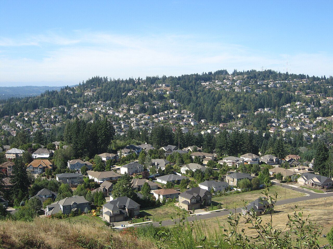 Mount ScottSummit · ~43 min drivePhoto: Esprqii, CC BY-SA 3.0 (via Wikimedia Commons)
 Mount DefianceSummit · ~44 min drivePhoto: Mehmet Emre Yavuz Meyavuz, CC BY-SA 3.0 (via Wikimedia Commons)
- Table MountainSummit · ~22 min drivePhoto: Walter Siegmund (talk), CC BY-SA 3.0 (via Wikimedia Commons)
 Tumtum MountainSummit · ~24 min drivePhoto: Seattle Skier, CC BY-SA 4.0 (via Wikimedia Commons)
- Sturgeon RockSummit · Next door
- Little BaldySummit · ~3 min drive

