Fuzzy Top
- 1,747 ft
- summit
- 1
- way up
- May–Sep
- best months
Fuzzy Top is a summit in Washington, about 5.5 miles from the town of Porter. It sits at 1,747 feet, and the Fuzzy Top Trail lies about half a mile away, making it the natural way to approach the peak. Summer is the most comfortable time to go. Typical averages from a nearby weather station in Olympia show July and August highs around 78°F with only about five wet days a month, while winter brings highs in the mid-40s and rain on roughly 20 days a month. The surrounding area offers more to do. The Wedekind and C-2716 mountain biking routes are both within about a mile and a half, and Sherman Creek, a canoeing spot, is about 1.7 miles away.
Conditions and forecast
Daily highs and lows, wind and the chance of precipitation at the summit and route start for the next 7 days, from the Open-Meteo model.
- Summit elevation
- 1,747 ft
Elevation from USGS 3D Elevation Program terrain data (about 10 m resolution).
Map © Mapbox © OpenStreetMap contributors Questions about Fuzzy Top
How tall is Fuzzy Top?
1,747 ft (532 m).
How many routes go to the summit of Fuzzy Top?
One: Fuzzy Top Trail.
 Capitol Peak2,668 ft · Washington1 route2.7 mi awayPhoto: Appple (talk), Public domain (via Wikimedia Commons)
- Seminary Hill555 ft · Washington1 route19 mi away
- Mount Rose4,290 ft · Washington1 route40 mi away
 Mount Ellinor5,939 ft · Washington1 route41 mi awayPhoto: Gregg M. Erickson (talk · contribs), CC BY 3.0 (via Wikimedia Commons)
- Mount Washington6,240 ft · Washington1 route41 mi awayPhoto: Gregg M. Erickson (talk · contribs), CC BY 3.0 (via Wikimedia Commons)
- Stahl Mountain3,712 ft · Washington2 routes45 mi away
 Fuzzy Top TrailHikingPhoto: Mr.B, CC BY 3.0 (via Wikimedia Commons)0.5 mi
- WedekindMountain biking1.3 mi
- C-2716Mountain biking1.4 mi
- PorterMountain biking1.5 mi
- Sherman CreekCanoeing1.7 mi
- South Fork Porter CreekCanoeing3.2 mi
- North Fork Porter CreekCanoeing4.1 mi
- Cedar CreekCanoeing4.3 mi
Source: Roamze catalog (indexable pages within 10 miles, PostGIS distance)
- Capitol PeakSummit · ~5 min drivePhoto: Appple (talk), Public domain (via Wikimedia Commons)
- Mount EllinorSummit · ~1h 9m drivePhoto: Gregg M. Erickson (talk · contribs), CC BY 3.0 (via Wikimedia Commons)
 Mount SkokomishSummit · ~1h 18m drivePhoto: Ron Clausen, CC BY-SA 4.0 (via Wikimedia Commons)
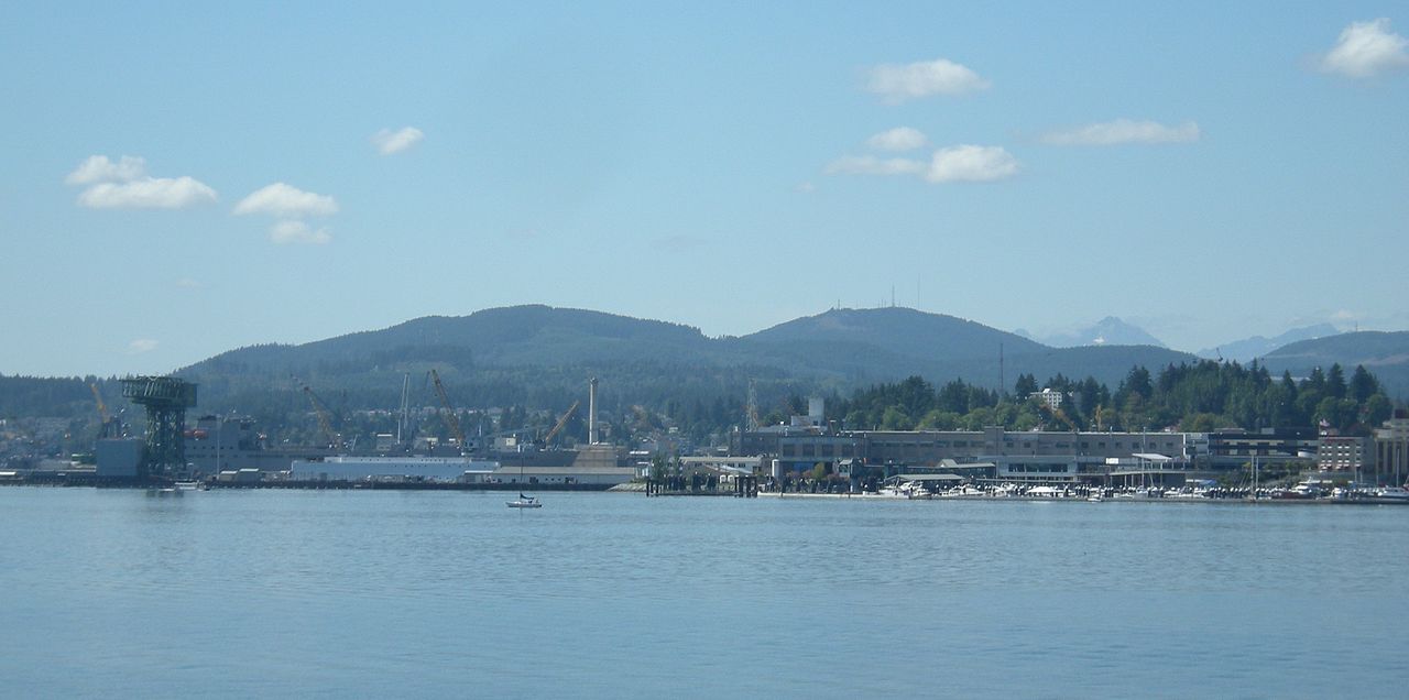 Gold MountainSummit · ~1h 18m drivePhoto: Joe Mabel, CC BY-SA 3.0 (via Wikimedia Commons)
- Green MountainSummit · ~1h 19m drivePhoto: Joe Mabel, CC BY-SA 3.0 (via Wikimedia Commons)
 Mount StoneSummit · ~1h 20m drivePhoto: CC BY-SA 4.0 (via Wikimedia Commons)
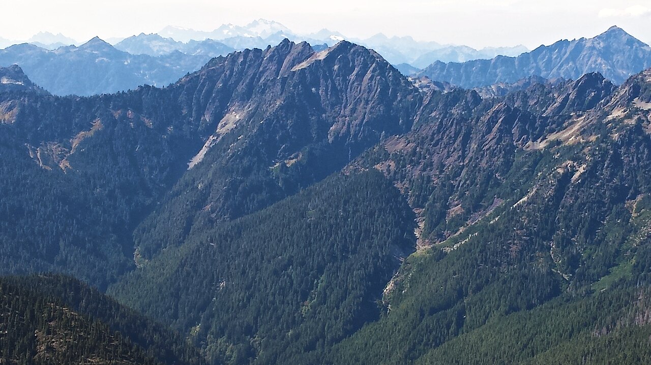 Mount DuckabushSummit · ~1h 24m drivePhoto: Maurice King, CC BY 2.0 (via Wikimedia Commons)
 The BrothersSummit · ~1h 25m drivePhoto: Stevekuo, CC BY-SA 3.0 (via Wikimedia Commons)
- Mount WashingtonSummit · ~1h 11m drivePhoto: Gregg M. Erickson (talk · contribs), CC BY 3.0 (via Wikimedia Commons)
 Mount PershingSummit · ~1h 13m drivePhoto: Ron Clausen, CC BY-SA 4.0 (via Wikimedia Commons)
Best time to visit Fuzzy Top
Best months: May–September. Best months have typical highs of 55–85 °F, lows of 30 °F or warmer (32 °F where the station doesn't record snow), at most one snowy day and no more than 12 wet days.
Jan
46° / 33°
20 wet · 1 snow
Feb
49° / 32°
17 wet · 1 snow
Mar
54° / 34°
19 wet
Apr
59° / 38°
16 wet
May
66° / 43°
12 wet
Jun
71° / 47°
8 wet
Jul
78° / 51°
5 wet
Aug
78° / 51°
5 wet
Sep
72° / 46°
8 wet
Oct
60° / 41°
15 wet
Nov
51° / 36°
19 wet
Dec
45° / 33°
20 wet · 1 snow
Typical high / low (°F) and days with rain or snow, 1991–2020. Measured at Olympia Ap, WA, 12.6 mi away at 188 ft. The station sits about 1,600 ft lower than this place, so expect it a little cooler here. Source: NOAA NCEI U.S. Climate Normals 1991–2020.
