Stahl Mountain
- 3,712 ft
- summit
- 2
- ways up
- Jul–Sep
- best months
Is Stahl Mountain open right now?
Closure in the area
There's a closure order in Cowlitz Valley Ranger District. It doesn't name Stahl Mountain, so check the source for the area it covers.
Backbone Fire Area, Road, and Trail Closure
Agency closure covering Cowlitz Valley Ranger District · Order 06-03-05-26-07 · USFS · Cowlitz Valley Ranger District
Backbone Fire Area, Road, and Trail Closure
Agency alert covering Cowlitz Valley Ranger District · Order 06-03-05-26-07 · USFS · Cowlitz Valley Ranger District
Fire Restrictions
Agency alert covering Gifford Pinchot National Forest · USFS · Gifford Pinchot National Forest
Seasonal Road Closures
Agency alert covering Gifford Pinchot National Forest · USFS · Gifford Pinchot National Forest
Road Repairs & Road Closures in 2026
Agency alert covering Gifford Pinchot National Forest · USFS · Gifford Pinchot National Forest
As of · Source: USFS · Cowlitz Valley Ranger District. Agencies don't list every closure — check before you go.
Stahl Mountain is a summit of 3,712 feet in the Cowlitz Valley Ranger District of Gifford Pinchot National Forest in Washington, about 2.7 miles from the town of Alder. Summer is the most comfortable time to go. Typical averages from a nearby weather station show July and August highs around 75 to 76°F with only seven or eight wet days a month, while winter brings highs in the mid-30s and regular snow days. The closest outing is the Stahl Mountain 288 hike, about a mile away. Paddlers can head to the Little Nisqually River or East Creek, both within about 2.4 miles. The Scout Loop hike lies about 4.1 miles off.
Conditions and forecast
Daily highs and lows, wind and the chance of precipitation at the summit and route start for the next 7 days, from the Open-Meteo model.
- Summit elevation
- 3,712 ft
Elevation from USGS 3D Elevation Program terrain data (about 10 m resolution).
- Stahl Mountain 288Moderateabout 1,697 ft of climbing2.3 mi round trip
- STAHL MOUNTAINModerateabout 2,137 ft of climbing4.0 mi round trip
Compare the routes Stahl Mountain 288 STAHL MOUNTAIN Climbing About 1,697 ft About 2,137 ft Round trip 2.3 mi 4.0 mi Difficulty Moderate Moderate Terrain Hike Hike Map © Mapbox © OpenStreetMap contributors Questions about Stahl Mountain
How tall is Stahl Mountain?
3,712 ft (1,131 m).
How many routes go to the summit of Stahl Mountain?
2: Stahl Mountain 288 and STAHL MOUNTAIN.
What is the shortest route up Stahl Mountain?
Stahl Mountain 288, about 2.3 mi round trip.
- Ladd Mountain3,891 ft · Washington1 route1.2 mi away
- Gobblers Knob5,476 ft · Washington1 route17 mi away
- Pyramid Peak6,943 ft · Washington1 route22 mi away
- Mildred Point5,944 ft · Washington1 route23 mi away
- Florence Peak5,520 ft · Washington1 route24 mi away
- Vanson Peak4,947 ft · Washington2 routes24 mi away
- Stahl Mountain 288Hiking1 mi
- Little Nisqually RiverCanoeing2.2 mi
- East CreekCanoeing2.4 mi
- Hiawatha CreekCanoeing3.3 mi
- Scout LoopHiking4.1 mi
- Tacoma & I5 to FoothillsRock climbing4.7 mi
- Elk Meadow TrailHiking5.8 mi
- Battle Of the Bulge- LeftRock climbing9.4 mi
Source: Roamze catalog (indexable pages within 10 miles, PostGIS distance)
 Eagle PeakSummit · ~40 min drivePhoto: Ron Clausen, CC BY-SA 4.0 (via Wikimedia Commons)
 Tolmie PeakSummit · ~41 min drivePhoto: Ricardo Martins from Gent, Belgium, CC BY 2.0 (via Wikimedia Commons)
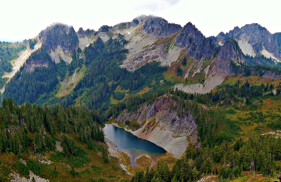 Wahpenayo PeakSummit · ~41 min drivePhoto: Ron Clausen, CC BY-SA 4.0 (via Wikimedia Commons)
 Lane PeakSummit · ~42 min drivePhoto: Ron Clausen, CC BY-SA 4.0 (via Wikimedia Commons)
 Liberty CapSummit · ~43 min drivePhoto: Stan Shebs, CC BY-SA 3.0 (via Wikimedia Commons)
 Denman PeakSummit · ~43 min drivePhoto: Ron Clausen, CC BY-SA 4.0 (via Wikimedia Commons)
 Plummer PeakSummit · ~43 min drivePhoto: Peter Stevens (Nordique), CC BY 2.0 (via Wikimedia Commons)
 Pinnacle PeakSummit · ~44 min drivePhoto: SolYoun, CC BY 2.0 (via Wikimedia Commons)
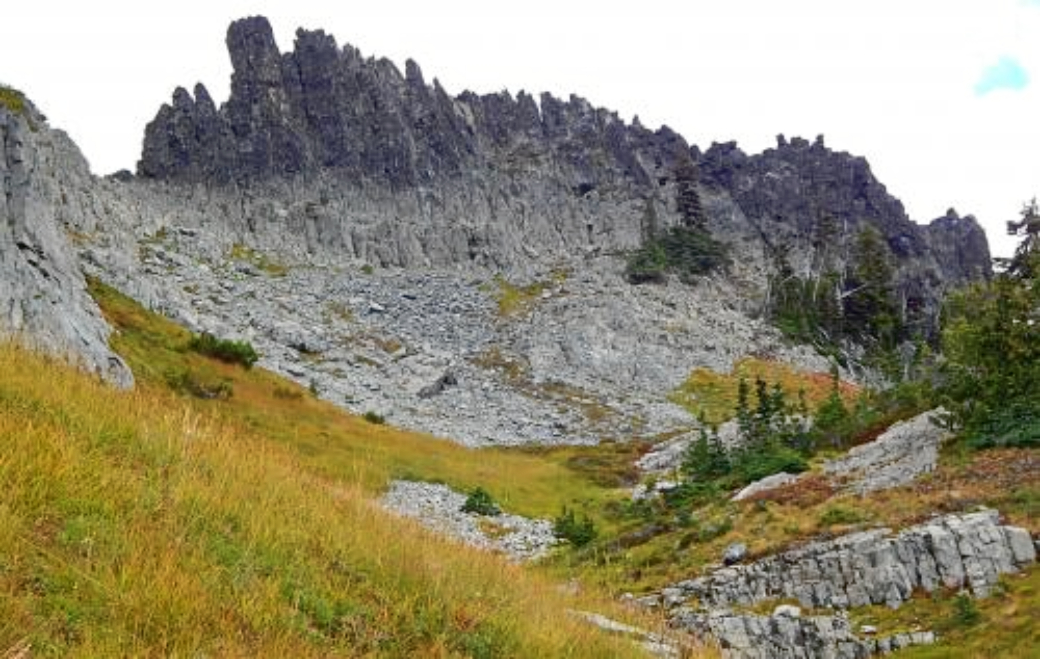 The CastleSummit · ~44 min drivePhoto: Ron Clausen, CC BY-SA 4.0 (via Wikimedia Commons)
 Gibraltar RockSummit · ~44 min drivePhoto: Buidhe, CC BY-SA 4.0 (via Wikimedia Commons)
Best time to visit Stahl Mountain
Best months: July–September. Best months have typical highs of 55–85 °F, lows of 30 °F or warmer (32 °F where the station doesn't record snow), at most one snowy day and no more than 12 wet days.
Jan
37° / 26°
21 wet · 9 snow
Feb
40° / 26°
18 wet · 8 snow
Mar
45° / 28°
20 wet · 8 snow
Apr
51° / 31°
18 wet · 4 snow
May
60° / 37°
17 wet · 1 snow
Jun
66° / 41°
14 wet
Jul
75° / 46°
8 wet
Aug
76° / 46°
7 wet
Sep
69° / 42°
10 wet
Oct
55° / 35°
16 wet · 1 snow
Nov
42° / 29°
19 wet · 5 snow
Dec
36° / 25°
21 wet · 10 snow
Typical high / low (°F) and days with rain or snow, 1991–2020. Measured at Longmire Rainier Nps, WA, 21.8 mi away at 2,762 ft. The station sits about 1,000 ft lower than this place, so expect it a little cooler here. Source: NOAA NCEI U.S. Climate Normals 1991–2020.

