Mount Ellinor
 Photo: Gregg M. Erickson (talk · contribs), CC BY 3.0 (via Wikimedia Commons)
- 5,939 ft
- summit
- 1
- way up
- Forest Service
- managed by
Is Mount Ellinor open right now?
Closure in the area
There's a closure order in Hood Canal Ranger District/Hoodsport. It doesn't name Mount Ellinor, so check the source for the area it covers.
FS-2451 and Copper Creek Trail Closure
Agency closure covering Hood Canal Ranger District/Hoodsport · Order 06-09-26-10 · USFS · Hood Canal Ranger District/Hoodsport
Roads to be Closed for Wildlife on October 1, 2026
Agency alert covering Olympic National Forest · USFS · Olympic National Forest
FS-2451 and Copper Creek Trail Closure
Agency alert covering Olympic National Forest · Order 06-09-26-10 · USFS · Olympic National Forest
FS-2160 Road Closure for Bridge Inspection
Agency alert covering Olympic National Forest · Order 06-09-26-07 · USFS · Olympic National Forest
High Steel Bridge and surrounding area closed to pedestrians/off trail hiking
Agency alert covering Olympic National Forest · Order 06-09-24-08 · USFS · Olympic National Forest
As of · Source: USFS · Hood Canal Ranger District/Hoodsport. Agencies don't list every closure — check before you go.
Mount Ellinor is a summit of about 5,939 feet in Mason County, Washington, rising within the Mount Skokomish Wilderness of Olympic National Forest. The Forest Service manages the land through the Hood Canal Ranger District, and the nearest town is Hoodsport, about 10 miles away. For getting onto the mountain, the Mt. Ellinor hike lies 0.8 mile away and Mt. Ellinor Access about a mile off. Big Creek campground sits about 3 miles away, and the North Fork Skokomish River offers canoeing roughly 2.5 miles from the summit.
Conditions and forecast
Daily highs and lows, wind and the chance of precipitation at the summit and route start for the next 7 days, from the Open-Meteo model.
- Summit elevation
- 5,939 ft
- Land manager
- Forest Service
Elevation from USGS 3D Elevation Program terrain data (about 10 m resolution).
Map © Mapbox © OpenStreetMap contributors Questions about Mount Ellinor
How tall is Mount Ellinor?
5,939 ft (1,810 m).
How many routes go to the summit of Mount Ellinor?
One: Mt. Ellinor.
- Mount Washington6,240 ft · Washington1 route0.9 mi awayPhoto: Gregg M. Erickson (talk · contribs), CC BY 3.0 (via Wikimedia Commons)
- Mount Rose4,290 ft · Washington1 route1.7 mi away
 Mount Jupiter5,692 ft · Washington1 route16 mi awayPhoto: Ron Clausen, CC BY-SA 4.0 (via Wikimedia Commons)
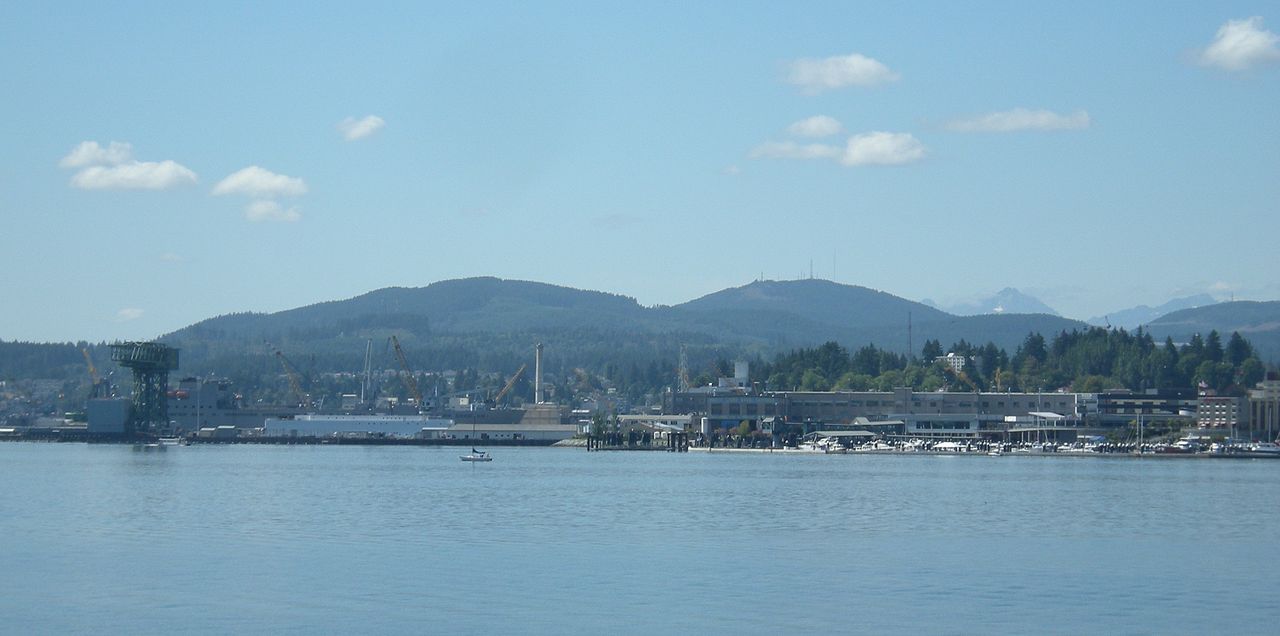 Green Mountain1,707 ft · Washington1 route21 mi awayPhoto: Joe Mabel, CC BY-SA 3.0 (via Wikimedia Commons)
- Colonel Bob4,491 ft · Washington1 route23 mi away
- Mount Walker2,806 ft · Washington2 routes25 mi away
 Mt. EllinorHikingPhoto: U.S. Forest Service- Pacific Northwest Region, Public domain (via Wikimedia Commons)0.8 mi
 Mt. Ellinor AccessHikingPhoto: U.S. Forest Service- Pacific Northwest Region, Public domain (via Wikimedia Commons)1 mi
- Open bookRock climbing2.4 mi
- Reclamation wallRock climbing2.4 mi
- North Fork Skokomish RiverCanoeing2.5 mi
- Big CreekCamping3.1 mi
- Washington CreekCanoeing4.7 mi
- Lena CreekCamping7.4 mi
Source: Roamze catalog (indexable pages within 10 miles, PostGIS distance)
 Mount SkokomishSummit · ~9 min drivePhoto: Ron Clausen, CC BY-SA 4.0 (via Wikimedia Commons)
 Mount StoneSummit · ~10 min drivePhoto: CC BY-SA 4.0 (via Wikimedia Commons)
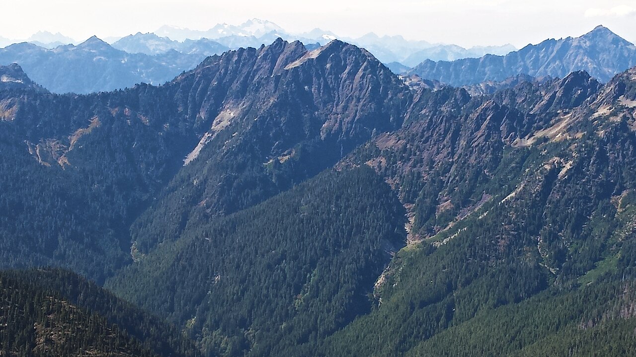 Mount DuckabushSummit · ~15 min drivePhoto: Maurice King, CC BY 2.0 (via Wikimedia Commons)
 The BrothersSummit · ~18 min drivePhoto: Stevekuo, CC BY-SA 3.0 (via Wikimedia Commons)
 Mount LaCrosseSummit · ~20 min drivePhoto: Kirk, Ruth W. National Park Service, Public domain (via Wikimedia Commons)
 Mount AndersonSummit · ~24 min drivePhoto: Photographer: Garland, M. (National Park Service), Public domain (via Wikimedia Commons)
- Mount JupiterSummit · ~27 min drivePhoto: Ron Clausen, CC BY-SA 4.0 (via Wikimedia Commons)
 Mount ChristieSummit · ~31 min drivePhoto: Ron Clausen, CC BY-SA 4.0 (via Wikimedia Commons)
 Mount NortonSummit · ~31 min drivePhoto: Terri Stewart, CC BY-SA 2.0 (via Wikimedia Commons)
 Mount ConstanceSummit · ~32 min drivePhoto: BlueCanoe, CC BY-SA 3.0 (via Wikimedia Commons)

