Deep Creek Horse Camp
Campground
Campground · 3.7 mi from the trail
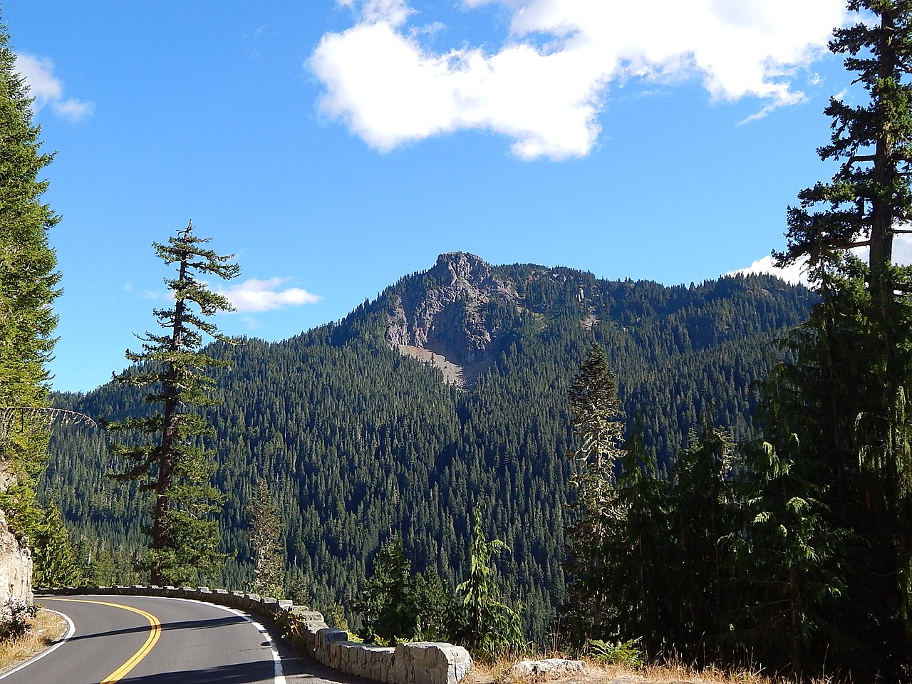
 Photo: Ron Clausen, CC BY-SA 4.0 (via Wikimedia Commons)
Closure in the area
There's a closure order in Okanogan-Wenatchee National Forest. It doesn't name Bismarck Peak, so check the source for the area it covers (2 listed).
Little Giant Fire Closure Superseding
Agency closure covering Okanogan-Wenatchee National Forest · Order 06-17-07-2026-48 · USFS · Okanogan-Wenatchee National Forest
Railroad and Preston Creek Road Closure
Agency closure covering Okanogan-Wenatchee National Forest · Order 06-17-05-26-04 · USFS · Okanogan-Wenatchee National Forest
Cle Elum River Restoration Area Closure on the Cle Elum Ranger District
Agency alert covering Okanogan-Wenatchee National Forest · USFS · Okanogan-Wenatchee National Forest
Gold Creek Restoration Project Area Closure on Cle Elum Ranger District
Agency alert covering Okanogan-Wenatchee National Forest · USFS · Okanogan-Wenatchee National Forest
Grouse Creek Aquatic Project Road Closure on the Wenatchee River Ranger District
Agency alert covering Okanogan-Wenatchee National Forest · USFS · Okanogan-Wenatchee National Forest
As of · Source: USFS · Okanogan-Wenatchee National Forest. Agencies don't list every closure — check before you go.
Bismarck Peak is a summit of about 7,578 feet in Yakima County, Washington, inside the William O. Douglas Wilderness. The peak lies within the Naches Ranger District of the Okanogan-Wenatchee National Forest, which the Forest Service manages. The nearest town is Cliffdell, about 15 miles away. The closest neighbors are the Mt. Aix summit trail, about 2 miles away, and the Nelson Ridge hike, about 2.5 miles away. Paddlers can head to Rattlesnake Creek, about 3 miles off, and campers to Granite Lake, about 4.4 miles away.
Deep Creek Horse Camp
Campground
White Pass Taqueria + Taproom
Restaurant
Places © OpenStreetMap contributors
More in PackwoodDaily highs and lows, wind and the chance of precipitation at the summit for the next 7 days, from the Open-Meteo model.
Elevation from USGS 3D Elevation Program terrain data (about 10 m resolution).
We don't know of a mapped trail or route to the summit of Bismarck Peak. Plan the approach with local maps, a guidebook or a local guide, and check conditions before you go.
7,578 ft (2,310 m).
We don't know of a mapped trail or route to the summit. Plan the approach with local maps, a guidebook or a local guide.

Source: Roamze catalog (indexable pages within 10 miles, PostGIS distance)
Mount AixSummit · ~4 min drivePhoto: Peter Stevens, CC BY 2.0 (via Wikimedia Commons) Kamiakan ButteSummit · ~16 min drivePhoto: Bobjgalindo, CC BY-SA 4.0 (via Wikimedia Commons)
 Seymour PeakSummit · ~21 min drivePhoto: Ron Clausen, CC BY-SA 4.0 (via Wikimedia Commons)
 Shriner PeakSummit · ~22 min drivePhoto: Ron Clausen, CC BY-SA 4.0 (via Wikimedia Commons)
 Naches PeakSummit · ~23 min drivePhoto: Ron Clausen, CC BY-SA 4.0 (via Wikimedia Commons)
 Yakima PeakSummit · ~24 min drivePhoto: Ron Clausen, CC BY-SA 4.0 (via Wikimedia Commons)
 Fifes PeaksSummit · ~25 min drivePhoto: Ron Clausen, CC BY-SA 4.0 (via Wikimedia Commons)
 Barrier PeakSummit · ~27 min drivePhoto: Steve Redman (MORA), Public domain (via Wikimedia Commons)
 Dege PeakSummit · ~33 min drivePhoto: Walter Siegmund (talk), CC BY-SA 3.0 (via Wikimedia Commons)
 Old Snowy MountainSummit · ~33 min drivePhoto: Walter Siegmund (talk), CC BY 2.5 (via Wikimedia Commons)

