Granite Lake Dispersed Camping Area
Campground
Campground · 4.3 mi from the trail
 Photo: Peter Stevens, CC BY 2.0 (via Wikimedia Commons)
Closure in the area
There's a closure order in Okanogan-Wenatchee National Forest. It doesn't name Mount Aix, so check the source for the area it covers (2 listed).
Little Giant Fire Closure Superseding
Agency closure covering Okanogan-Wenatchee National Forest · Order 06-17-07-2026-48 · USFS · Okanogan-Wenatchee National Forest
Railroad and Preston Creek Road Closure
Agency closure covering Okanogan-Wenatchee National Forest · Order 06-17-05-26-04 · USFS · Okanogan-Wenatchee National Forest
Cle Elum River Restoration Area Closure on the Cle Elum Ranger District
Agency alert covering Okanogan-Wenatchee National Forest · USFS · Okanogan-Wenatchee National Forest
Gold Creek Restoration Project Area Closure on Cle Elum Ranger District
Agency alert covering Okanogan-Wenatchee National Forest · USFS · Okanogan-Wenatchee National Forest
Grouse Creek Aquatic Project Road Closure on the Wenatchee River Ranger District
Agency alert covering Okanogan-Wenatchee National Forest · USFS · Okanogan-Wenatchee National Forest
As of · Source: USFS · Okanogan-Wenatchee National Forest. Agencies don't list every closure — check before you go.
Mount Aix is a summit of about 7,757 feet in Yakima County, Washington, set within the William O. Douglas Wilderness. It lies in the Naches Ranger District of the Okanogan-Wenatchee National Forest, which the Forest Service manages, and the nearest town is Cliffdell, about 13 miles away. The peak's own trail, the Mt. Aix summit trail, starts just 0.1 mile from the summit. Nelson Ridge Trail #984 runs about 0.9 mile away. For more time in the area, Granite Lake campground sits about 4 miles away, and Bumping Lake Campground is about 5 miles away.
Granite Lake Dispersed Camping Area
Campground
White Pass Taqueria + Taproom
Restaurant
Places © OpenStreetMap contributors
More in PackwoodDaily highs and lows, wind and the chance of precipitation at the summit and route start for the next 7 days, from the Open-Meteo model.
Elevation from USGS 3D Elevation Program terrain data (about 10 m resolution).
7,757 ft (2,364 m).
One: Mt. Aix summit trail.
 Bumping Lake CampgroundCampingPhoto: Recreation.gov (RIDB) / public domain4.8 mi
Source: Roamze catalog (indexable pages within 10 miles, PostGIS distance)
 Bismarck PeakSummit · ~4 min drivePhoto: Ron Clausen, CC BY-SA 4.0 (via Wikimedia Commons)
 Kamiakan ButteSummit · ~19 min drivePhoto: Bobjgalindo, CC BY-SA 4.0 (via Wikimedia Commons)
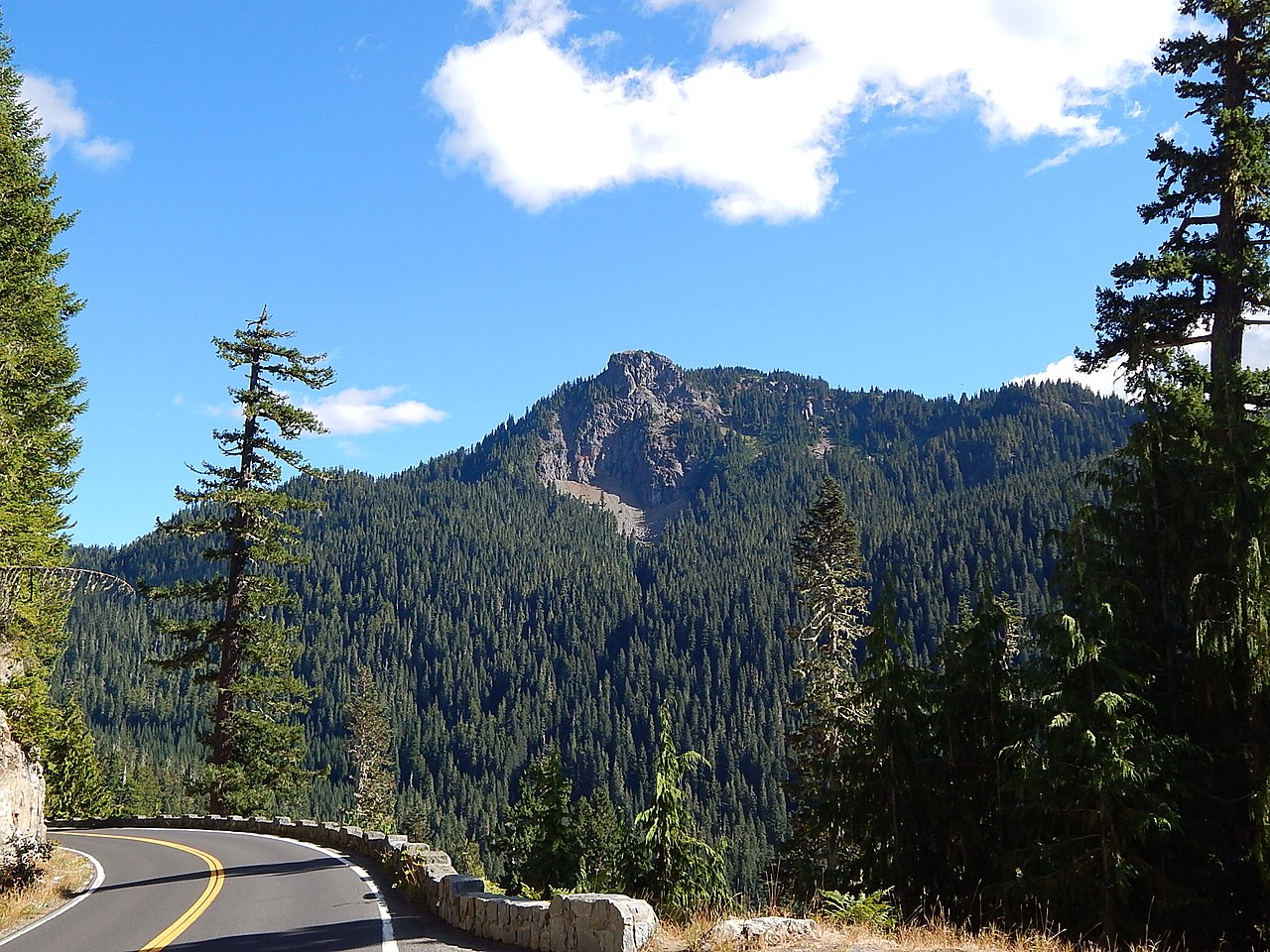 Seymour PeakSummit · ~21 min drivePhoto: Ron Clausen, CC BY-SA 4.0 (via Wikimedia Commons)
 Fifes PeaksSummit · ~22 min drivePhoto: Ron Clausen, CC BY-SA 4.0 (via Wikimedia Commons)
 Naches PeakSummit · ~22 min drivePhoto: Ron Clausen, CC BY-SA 4.0 (via Wikimedia Commons)
 Shriner PeakSummit · ~22 min drivePhoto: Ron Clausen, CC BY-SA 4.0 (via Wikimedia Commons)
 Yakima PeakSummit · ~24 min drivePhoto: Ron Clausen, CC BY-SA 4.0 (via Wikimedia Commons)
 Barrier PeakSummit · ~27 min drivePhoto: Steve Redman (MORA), Public domain (via Wikimedia Commons)
 Dege PeakSummit · ~32 min drivePhoto: Walter Siegmund (talk), CC BY-SA 3.0 (via Wikimedia Commons)
 Marcus PeakSummit · ~33 min drivePhoto: Ron Clausen, CC BY-SA 4.0 (via Wikimedia Commons)

