Shriner Peak
 Photo: Ron Clausen, CC BY-SA 4.0 (via Wikimedia Commons)
- 5,839 ft
- summit
- 1
- way up
- National Park Service
- managed by
Is Shriner Peak open right now?
Closure in the area
There's a closure order in Mount Rainier National Park. It doesn't name Shriner Peak, so check the source for the area it covers.
Paradise Road Status: Open, traction tires advised, gate closing at 3 pm.
Park closure covering Mount Rainier National Park · NPS · Mount Rainier National Park
WILDFIRE CLOSURES: Sunrise & northern trails.
Park alert covering Mount Rainier National Park · NPS · Mount Rainier National Park
As of · Source: NPS · Mount Rainier National Park. Agencies don't list every closure — check before you go.
Shriner Peak is a summit of 5,839 feet in Washington's Mount Rainier National Park, within the Mount Rainier Wilderness. The National Park Service manages the land, and the nearest town is Packwood, about 16 miles away. Summer is the most comfortable time to visit. Typical averages from a nearby weather station at a similar elevation show July and August highs around 62 to 64°F with lows in the mid-40s, while winter highs stay in the low to mid 30s. The peak sits close to several other destinations. Owyhigh Lakes and the Eastside Trail are both within about 2 miles. The Ohanapecosh River, about 4 miles away, offers canoeing, and Ohanapecosh Campground is about 6 miles off.
Conditions and forecast
Daily highs and lows, wind and the chance of precipitation at the summit and route start for the next 7 days, from the Open-Meteo model.
- Summit elevation
- 5,839 ft
- Land manager
- National Park Service
Elevation from USGS 3D Elevation Program terrain data (about 10 m resolution).
Map © Mapbox © OpenStreetMap contributors Questions about Shriner Peak
How tall is Shriner Peak?
5,839 ft (1,780 m).
How many routes go to the summit of Shriner Peak?
One: Shriner Peak.
- Fryingpan Mountain5,734 ft · Washington1 route7.0 mi away
 Dege Peak7,007 ft · Washington1 route8.2 mi awayPhoto: Walter Siegmund (talk), CC BY-SA 3.0 (via Wikimedia Commons)
- McClure Rock7,392 ft · Washington1 route9.1 mi away
- Faraway Rock5,233 ft · Washington2 routes9.4 mi away
 Unicorn Peak6,914 ft · Washington1 route9.4 mi awayPhoto: Ron Clausen, CC BY-SA 4.0 (via Wikimedia Commons)
- Panorama Point6,915 ft · Washington2 routes9.4 mi away
- Owyhigh LakesHiking1.4 mi
- Eastside TrailHiking1.6 mi
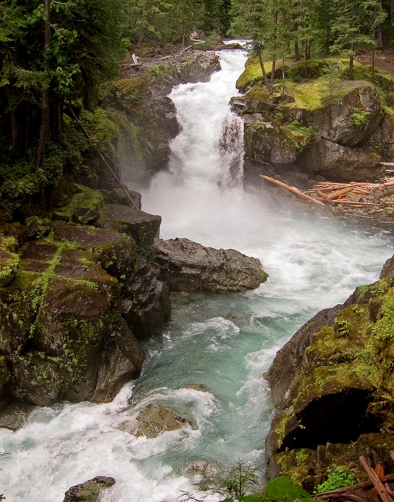 Ohanapecosh RiverCanoeingPhoto: Pfly, CC BY-SA 3.0 (via Wikimedia Commons)3.8 mi
- Carlton CreekCanoeing5.5 mi
 Ohanapecosh CampgroundCampingPhoto: Recreation.gov (RIDB) / public domain6 mi
 Ohanapecosh Group CampgroundCampingPhoto: Recreation.gov (RIDB) / public domain6 mi
- Liberty CapMountaineering8.7 mi
- Mount RainierMountaineering9.8 mi
Source: Roamze catalog (indexable pages within 10 miles, PostGIS distance)
