Snowgrass Flat
Campground
Campground · 1.3 mi from the trail
 Photo: Walter Siegmund (talk), CC BY 2.5 (via Wikimedia Commons)
Closure in the area
There's a closure order in Okanogan-Wenatchee National Forest. It doesn't name Old Snowy Mountain, so check the source for the area it covers (2 listed).
Little Giant Fire Closure Superseding
Agency closure covering Okanogan-Wenatchee National Forest · Order 06-17-07-2026-48 · USFS · Okanogan-Wenatchee National Forest
Railroad and Preston Creek Road Closure
Agency closure covering Okanogan-Wenatchee National Forest · Order 06-17-05-26-04 · USFS · Okanogan-Wenatchee National Forest
Cle Elum River Restoration Area Closure on the Cle Elum Ranger District
Agency alert covering Okanogan-Wenatchee National Forest · USFS · Okanogan-Wenatchee National Forest
Gold Creek Restoration Project Area Closure on Cle Elum Ranger District
Agency alert covering Okanogan-Wenatchee National Forest · USFS · Okanogan-Wenatchee National Forest
Grouse Creek Aquatic Project Road Closure on the Wenatchee River Ranger District
Agency alert covering Okanogan-Wenatchee National Forest · USFS · Okanogan-Wenatchee National Forest
As of · Source: USFS · Okanogan-Wenatchee National Forest. Agencies don't list every closure — check before you go.
Old Snowy Mountain is a summit of about 7,915 feet in Yakima County, Washington, inside the Goat Rocks Wilderness. The surrounding land is part of the Okanogan-Wenatchee National Forest, managed by the Forest Service, and the nearest town is Packwood, about 12 miles away. The peak sits in designated wilderness, so plan around the rules that apply there. The Pacific Crest Trail (Old Snowy Alternate) passes just 0.3 miles from the summit, and the Packwood Glacier Trail is about 0.4 miles away. For an overnight base, Chambers Lake and Walupt Lake Campground are both within about 6 miles.
Snowgrass Flat
Campground
Cliff Droppers Burgers
Fast food
 If it rainsSteven Pavlov, CC BY-SA 4.0 · Wikimedia Commons
Places © OpenStreetMap contributors · Photos: Steven Pavlov, CC BY-SA 4.0 (commons)
More in PackwoodDaily highs and lows, wind and the chance of precipitation at the summit for the next 7 days, from the Open-Meteo model.
Elevation from USGS 3D Elevation Program terrain data (about 10 m resolution).
We don't know of a mapped trail or route to the summit of Old Snowy Mountain. Plan the approach with local maps, a guidebook or a local guide, and check conditions before you go.
7,915 ft (2,412 m).
We don't know of a mapped trail or route to the summit. Plan the approach with local maps, a guidebook or a local guide.
 Walupt Lake CampgroundCampingPhoto: Recreation.gov (RIDB) / public domain6.2 mi
Source: Roamze catalog (indexable pages within 10 miles, PostGIS distance)
 Gilbert PeakSummit · ~5 min drivePhoto: No machine-readable author provided. Wsiegmund assumed (based on copyright claims)., CC BY 2.5 (via Wikimedia Commons)
 Kamiakan ButteSummit · ~21 min drivePhoto: Bobjgalindo, CC BY-SA 4.0 (via Wikimedia Commons)
 Bismarck PeakSummit · ~33 min drivePhoto: Ron Clausen, CC BY-SA 4.0 (via Wikimedia Commons)
 Unicorn PeakSummit · ~34 min drivePhoto: Ron Clausen, CC BY-SA 4.0 (via Wikimedia Commons)
 Shriner PeakSummit · ~36 min drivePhoto: Ron Clausen, CC BY-SA 4.0 (via Wikimedia Commons)
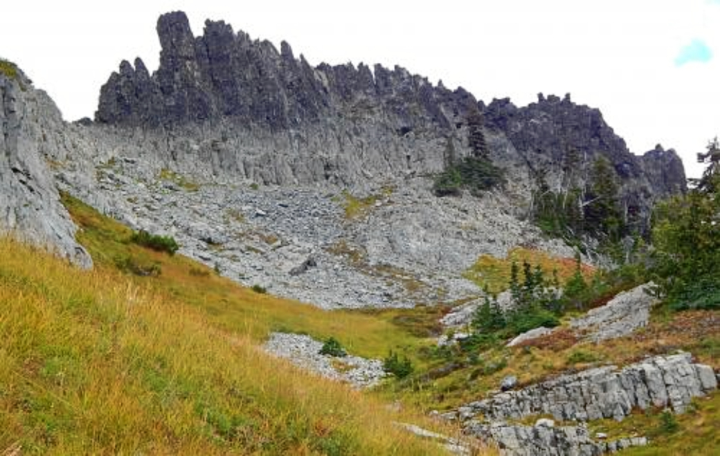 The CastleSummit · ~37 min drivePhoto: Ron Clausen, CC BY-SA 4.0 (via Wikimedia Commons)
 Mount AdamsSummit · ~37 min drivePhoto: USGS Photo by R. Iverson, USGS/CVO, Public domain (via Wikimedia Commons)
 Plummer PeakSummit · ~37 min drivePhoto: Peter Stevens (Nordique), CC BY 2.0 (via Wikimedia Commons)
 Pinnacle PeakSummit · ~37 min drivePhoto: SolYoun, CC BY 2.0 (via Wikimedia Commons)
 Mount AixSummit · ~37 min drivePhoto: Peter Stevens, CC BY 2.0 (via Wikimedia Commons)

