Canyon Creek Road
- 3.7 mi
- round trip
- 2,320 ft
- climb
- 3,582 ft
- high point
- Out and back
- route
Is Canyon Creek Road open right now?
Closure in the area
There's a closure order in Mt. Baker-Snoqualmie National Forest. It doesn't name Canyon Creek Road, so check the source for the area it covers (2 listed).
Grand Park 2 Fire Closure Update
Agency closure covering Mt. Baker-Snoqualmie National Forest · Order 06-05-26-16 · USFS · Mt. Baker-Snoqualmie National Forest
Bell Creek Bridge Damaged
Agency closure covering Mt. Baker-Snoqualmie National Forest · USFS · Mt. Baker-Snoqualmie National Forest
Rescission of Shooting Restrictions
Agency alert covering Mt. Baker-Snoqualmie National Forest · USFS · Mt. Baker-Snoqualmie National Forest
Electric Fire Closure Order
Agency alert covering Mt. Baker-Snoqualmie National Forest · Order 06-05-26-19 · USFS · Mt. Baker-Snoqualmie National Forest
Mountain Goats Have Been Present on Yellow Aster Butte
Agency alert covering Mt. Baker-Snoqualmie National Forest · USFS · Mt. Baker-Snoqualmie National Forest
As of · Source: USFS · Mt. Baker-Snoqualmie National Forest. Agencies don't list every closure — check before you go.
Canyon Creek Road is a cross-country ski route in the Mt. Baker Ranger District of Mt. Baker-Snoqualmie National Forest in Washington, managed by the Forest Service. The route is an out-and-back that climbs from about 2,686 feet to about 3,582 feet, with a total elevation gain of 2,320 feet over the round trip. The one-way distance is about 3.7 miles, and the total trip is roughly 7.4 miles. The steepest stretch comes at about 1.1 miles from the start, where the grade reaches 27 percent. The climb is rated easy, and the route is suited to skiers looking for a straightforward outing in the forest's backcountry. Winter is the natural season for this route. The high point sits well above the low point, so expect a significant change in elevation over the course of the day. Nearby, Canyon Creek offers canoeing about 1.3 miles away, and Church Lake Trail and Church Lake are both about 2.1 miles off. Douglas Fir Campground is about 4.5 miles away for anyone planning an overnight stay.
Local outfitters
- Guided Exposure6 mi away
- WHATCOM MEADOWS29 mi away
Not on Roamze yet. Their page has how to reach them.
- Canyon CreekCanoeing1.3 mi
- Church Lake TrailCross-country skiing2.1 mi
- Church LakeHiking2.1 mi
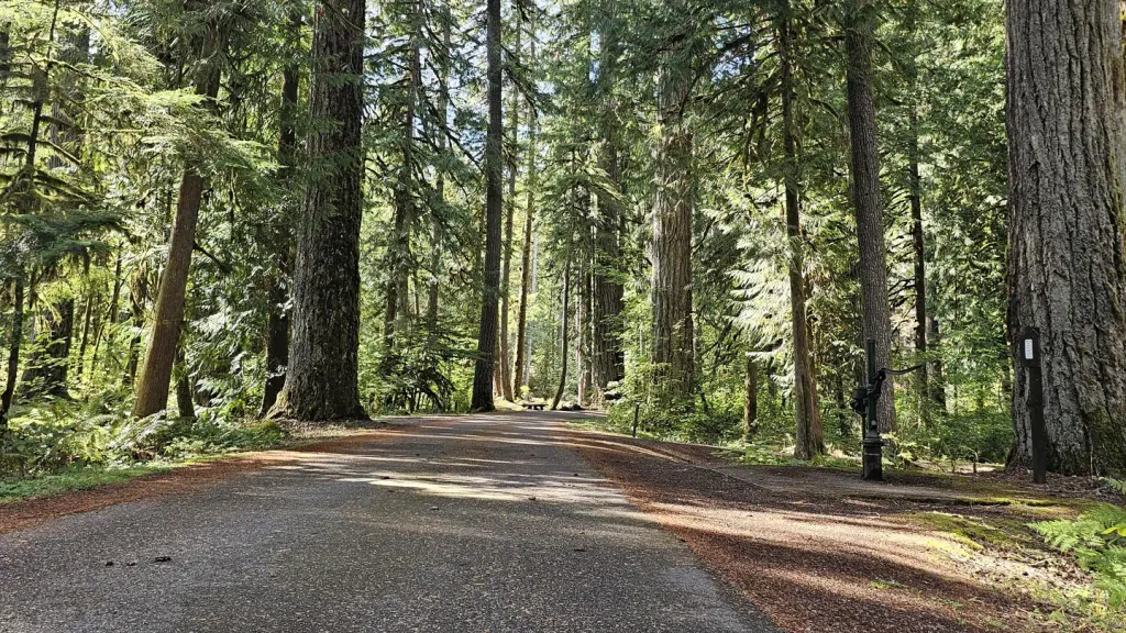 Douglas Fir CampgroundCampingPhoto: Recreation.gov (RIDB) / public domain4.5 mi
- The PumphouseRock climbing5.2 mi
 Excelsior Group CampCampingPhoto: Recreation.gov (RIDB) / public domain5.2 mi
- Boulder CreekCanoeing5.5 mi
- Cobblestone WallRock climbing8.9 mi
Source: Roamze catalog (indexable pages within 10 miles, PostGIS distance)
- Forest Road 3160Cross-country skiing · Next door
- Forest Road 3071Cross-country skiing · ~17 min drive
- River TrailCross-country skiing · ~18 min drive
- Canyon Creek RoadCross-country skiing · ~1 min drive
- Forest Road 3071Cross-country skiing · ~17 min drive
- Mom'sCross-country skiing · ~17 min drive
- Canyon Creek RoadCross-country skiing · ~3 min drive
- Cougar LoopCross-country skiing · ~20 min drive
- Canyon Creek RoadCross-country skiing · ~3 min drive
- Forest Road 3140Cross-country skiing · ~3 min drive

Map and trail data © OpenStreetMap contributors
