Heart Lake
Campground
Campground · 5.0 mi from the trail
Closure in the area
There's a closure order in Cowlitz Valley Ranger District. It doesn't name Johnson Creek, so check the source for the area it covers.
Backbone Fire Area, Road, and Trail Closure
Agency closure covering Cowlitz Valley Ranger District · Order 06-03-05-26-07 · USFS · Cowlitz Valley Ranger District
Backbone Fire Area, Road, and Trail Closure
Agency alert covering Cowlitz Valley Ranger District · Order 06-03-05-26-07 · USFS · Cowlitz Valley Ranger District
Fire Restrictions
Agency alert covering Gifford Pinchot National Forest · USFS · Gifford Pinchot National Forest
Seasonal Road Closures
Agency alert covering Gifford Pinchot National Forest · USFS · Gifford Pinchot National Forest
Road Repairs & Road Closures in 2026
Agency alert covering Gifford Pinchot National Forest · USFS · Gifford Pinchot National Forest
As of · Source: USFS · Cowlitz Valley Ranger District. Agencies don't list every closure — check before you go.
Johnson Creek is a canoeing route in Washington's Gifford Pinchot National Forest, within the Cowlitz Valley Ranger District and managed by the Forest Service. The paddling is in a network of waterways that sit within easy reach of several other forest trails and campsites. Summer is the most comfortable time to put in. Typical averages from a nearby weather station show July and August highs around 75 to 76°F with only about seven or eight wet days a month. That station sits roughly 1,260 feet lower than the creek, so temperatures here run cooler. Angry Mountain Trail and Glacier Lake Trail are both within about a mile and a half, and Smith Creek is a paddling option about 3 miles away. For an overnight stay, Chambers Lake campground is about 6 miles off.
Heart Lake
Campground
 If it rainsSteven Pavlov, CC BY-SA 4.0 · Wikimedia Commons
Places © OpenStreetMap contributors · Photos: Steven Pavlov, CC BY-SA 4.0 (commons)
More in PackwoodNot on Roamze yet. Their page has how to reach them.
Source: Roamze catalog (indexable pages within 10 miles, PostGIS distance)
 Cowlitz RiverCanoeing · ~17 min drivePhoto: Lou's Canon, CC BY-SA 3.0 (via Wikimedia Commons)
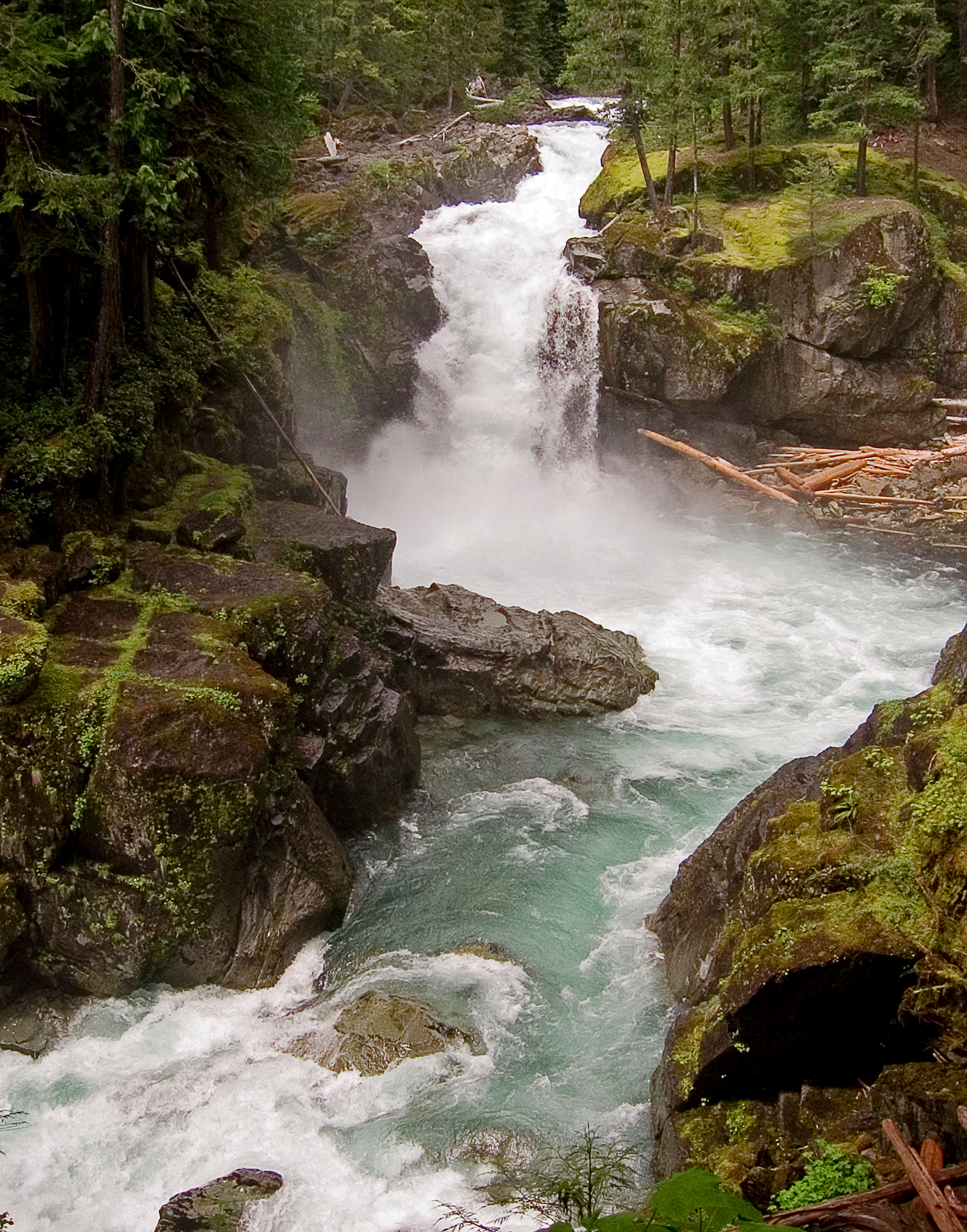 Ohanapecosh RiverCanoeing · ~29 min drivePhoto: Pfly, CC BY-SA 3.0 (via Wikimedia Commons)
 Nisqually RiverCanoeing · ~31 min drivePhoto: Ian Poellet, CC BY-SA 3.0 (via Wikimedia Commons)
 Tahoma CreekCanoeing · ~36 min drivePhoto: Mount Rainier NPS, CC BY 2.0 (via Wikimedia Commons)
Also worth it near here
Best months: July–September. Best months have typical highs of 55–85 °F, lows of 30 °F or warmer (32 °F where the station doesn't record snow), at most one snowy day and no more than 12 wet days.
Jan
37° / 26°
21 wet · 9 snow
Feb
40° / 26°
18 wet · 8 snow
Mar
45° / 28°
20 wet · 8 snow
Apr
51° / 31°
18 wet · 4 snow
May
60° / 37°
17 wet · 1 snow
Jun
66° / 41°
14 wet
Jul
75° / 46°
8 wet
Aug
76° / 46°
7 wet
Sep
69° / 42°
10 wet
Oct
55° / 35°
16 wet · 1 snow
Nov
42° / 29°
19 wet · 5 snow
Dec
36° / 25°
21 wet · 10 snow
Typical high / low (°F) and days with rain or snow, 1991–2020. Measured at Longmire Rainier Nps, WA, 18.1 mi away at 2,762 ft. The station sits about 1,300 ft lower than this place, so expect it a little cooler here. Source: NOAA NCEI U.S. Climate Normals 1991–2020.


