

Silver Beach Resort
Rafting business nearby (under a mile away) — hasn't claimed their Roamze page yet
Indian Creek
Free — you'll pick up right here.
Watch this water
Sign up to watch it — saving subscribes you to gate, closure and report changes.
Washington
We won't guess. Here is exactly what we do and don't know.
What we do know
Inside Okanogan-Wenatchee National Forest
2 managing-area boundaries mapped — agency alerts for them feed this page automatically.
Boundary data
What's missing
No access route mapped
We don't yet know which road reaches this trailhead, so we can't tell you if it's gated.
Nobody's filed a report here yet — be the first.
Indian Creek
AI-suggested draft · review before you go
Overview Indian Creek Campground is located at the edge of Rimrock Lake in the Okanogan-Wenatchee National Forest in Washington's Cascades Range. The campground's proximity to high alpine lakes, lush forests and towering peaks in nearby wilderness areas make it a popular destination for outdoor enthusiasts.Recreation Indian Creek Campground offers outdoor enthusiasts the opportunity to hike, fish, ski, raft and enjoy a multitude of recreational activities throughout the year. Beautiful rivers and streams, high elevation lakes and reservoirs provide an endless number of fishing opportunities for the experienced and beginning angler. Opportunities abound to pursue or view the legendary salmon and steelhead, several species of trout or a variety of warm-water fish. River enthusiasts enjoy whitewater rafting trips on one of the many scenic rivers in the area. The Tieton River is especially exciting in September when the Bureau of Land Reclamation floods the Tieton Valley, releasing fast and furious water. Facilities The campground offers several standard sites, perfect for both tent and RV camping. Picnic tables, vault toilets and drinking water are provided. No electrical hookups are available.Natural Features Rimrock Lake, adjacent to the campground and along the course of the Tieton River, is surrounded by rugged mountain terrain, wetlands and diverse conifer forests. The area around the campground supports wildlife such as mountain goats, native fish and migratory birds. Endangered and threatened species, including American bald eagles, northern spotted owls, gray wolves and grizzly bears also find havens in nearby areas. Precipitation varies greatly thoughout the area, ranging from approximately 140 inches along the Cascade Crest to only 10 inches along the eastern edge. Visitors to the area can expect many days of warm, sunny weather in the summer, and plenty of snow in the winter. Nearby Attractions Boulder Cave National Recreation Trail is one of the most popular places in the Naches District. Visitors can walk the accessible trail along the river or explore Boulder Cave. Interpretive signs along the trail explain the geology, plants, animals and fire history of the area. Hikers may want to traverse a portion of the spectacular Pacific Crest Trail (PCT), one of the world's premier National Scenic Trails. This trail showcases some of North America's most fantastic scenery as it winds its way from Mexico to Canada through California, Oregon and Washington. Contact Info This location has limited staffing. Please call (661) 702-1420 for general information.Charges & Cancellations Cancellations Individual Campsites: Cancellations up to 2 days before a reservation start date incur a $10.00 cancellation fee. A visitor who cancels a reservation the day before or on the day of arrival will pay a $10.00 service fee AND forfeit the first night's use fee including tax and applicable add-on for a campsite. Cancellations for a one-night reservation will forfeit the entire amount paid and will not be subject to an additional service fee. No-Shows A no-show visitor is one who does not arrive at a campground and does not cancel the reservation by check-out time on the day after the scheduled arrival date. Staff will hold a campsite until check-out time on the day following the arrival date. No-shows are assessed $20.00 service fee and forfeit the first night's rate, taxes and applicable add-on for a campsite. Refunds Visitors may submit a refund request through their Recreation.gov profile within 7 days of the end date of their reservation. Refunds will not be issued after the 7 days has ended. Refunds for debit or credit card payments will be issued as a credit to the original bank or credit card used to pay. For check or cash purchases, Recreation.gov will mail a Treasury check for refunds of cash, check, or money order payments to the address associated with the reservation. Treasury check refunds may take up to 6-8 weeks
 Photo: Williamborg 03:31, 29 May 2007 (UTC), Public domain (via Wikimedia Commons)
Bumping River
~22 min drive
Bumping River is a 5.2-mile paddling stretch near Naches, Washington. It flows year-round. USGS models an average flow of about 348 cfs and a gradient of about 109.1 feet per mile. Land along it is managed by the U.S. Forest Service.
Clear Lake Public Boat Ramp
~3 min drive
A worthwhile stop near Washington.
Cougar Flat
~32 min drive
A worthwhile stop near Washington.
 Photo: Lou's Canon, CC BY-SA 3.0 (via Wikimedia Commons)
Cowlitz River
~31 min drive
Cowlitz River is a 1.3-mile paddling stretch near Packwood, Washington. It flows year-round. USGS models an average flow of about 6,574 cfs and a gradient of about 167.5 feet per mile. Land along it is managed by the U.S. Forest Service.
Horseshoe Cove Boat Launch
~3 min drive
A worthwhile stop near Washington.
Cedar Springs Campground
~39 min drive
A worthwhile stop near Washington.
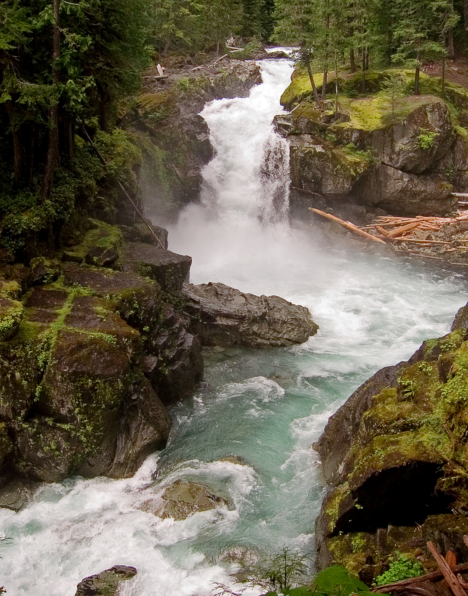 Photo: Pfly, CC BY-SA 3.0 (via Wikimedia Commons)
Ohanapecosh River
~31 min drive
Ohanapecosh River is a 16-mile paddling stretch near Packwood, Washington. It flows year-round. USGS models an average flow of about 434 cfs and a gradient of about 265.2 feet per mile. Land along it is managed by the National Park Service.
Bumping Lake Picnic Area/Boating Site
~26 min drive
A worthwhile stop near Washington.
American Forks Campground
~40 min drive
A worthwhile stop near Washington.
 Photo: Williamborg 04:19, 29 May 2007 (UTC), Public domain (via Wikimedia Commons)
Naches River
~36 min drive
Naches River is a 0.1-mile paddling stretch near Naches, Washington. It is intermittent and may run dry in some seasons. USGS models an average flow of about 1,654 cfs.
Also worth it near here
Local operatorsoffering guided trips. You book directly with them — Roamze doesn’t take a cut.
Silver Beach Resort
Rafting business nearby (under a mile away) — hasn't claimed their Roamze page yet
Squaw Rock RV Resort and Campground
Rafting business nearby (~21 mi away) — hasn't claimed their Roamze page yet
Naches RV Resort
Rafting business nearby (~29 mi away) — hasn't claimed their Roamze page yet
