Clear Lake South
Campground
Campground · 0.3 mi from the trail
Caution at last check
Agency alerts are in effect for this area; weather is good · USFS, OpenWeather · checked 14 h ago
Closure in the area
There's a closure order in Okanogan-Wenatchee National Forest. It doesn't name Clear Lake Public Boat Ramp, so check the source for the area it covers (2 listed).
Little Giant Fire Closure Superseding
Agency closure covering Okanogan-Wenatchee National Forest · Order 06-17-07-2026-48 · USFS · Okanogan-Wenatchee National Forest
Railroad and Preston Creek Road Closure
Agency closure covering Okanogan-Wenatchee National Forest · Order 06-17-05-26-04 · USFS · Okanogan-Wenatchee National Forest
Cle Elum River Restoration Area Closure on the Cle Elum Ranger District
Agency alert covering Okanogan-Wenatchee National Forest · USFS · Okanogan-Wenatchee National Forest
Gold Creek Restoration Project Area Closure on Cle Elum Ranger District
Agency alert covering Okanogan-Wenatchee National Forest · USFS · Okanogan-Wenatchee National Forest
Grouse Creek Aquatic Project Road Closure on the Wenatchee River Ranger District
Agency alert covering Okanogan-Wenatchee National Forest · USFS · Okanogan-Wenatchee National Forest
As of · Source: USFS · Okanogan-Wenatchee National Forest. Agencies don't list every closure — check before you go.
Clear Lake Public Boat Ramp is a public boat launch in the Naches Ranger District of the Okanogan-Wenatchee National Forest in Washington, about 19 miles from the town of Packwood. It is a day-use site with restrooms, and a day-use fee of $10 per vehicle per day is charged. Summer is the most comfortable time to visit. Typical averages from a nearby weather station in Packwood show July and August highs around 79 to 80°F with only four or five wet days a month, while winter months bring highs in the low 40s and rain on most days. The ramp sits right beside two campgrounds, Clear Lake South and Clear Lake North/Grade Forest, both within half a mile. The Twilight Trail is about 0.9 miles away, and the North Fork Cliff climbing area is about 1.6 miles off.
Clear Lake South
Campground
White Pass Taqueria + Taproom
Restaurant
Places © OpenStreetMap contributors
More in PackwoodSource: Roamze catalog (indexable pages within 10 miles, PostGIS distance)
 Tieton RiverCanoeing · ~15 min drivePhoto: Williamborg 04:31, 29 May 2007 (UTC), Public domain (via Wikimedia Commons)
 Cowlitz RiverCanoeing · ~29 min drivePhoto: Lou's Canon, CC BY-SA 3.0 (via Wikimedia Commons)
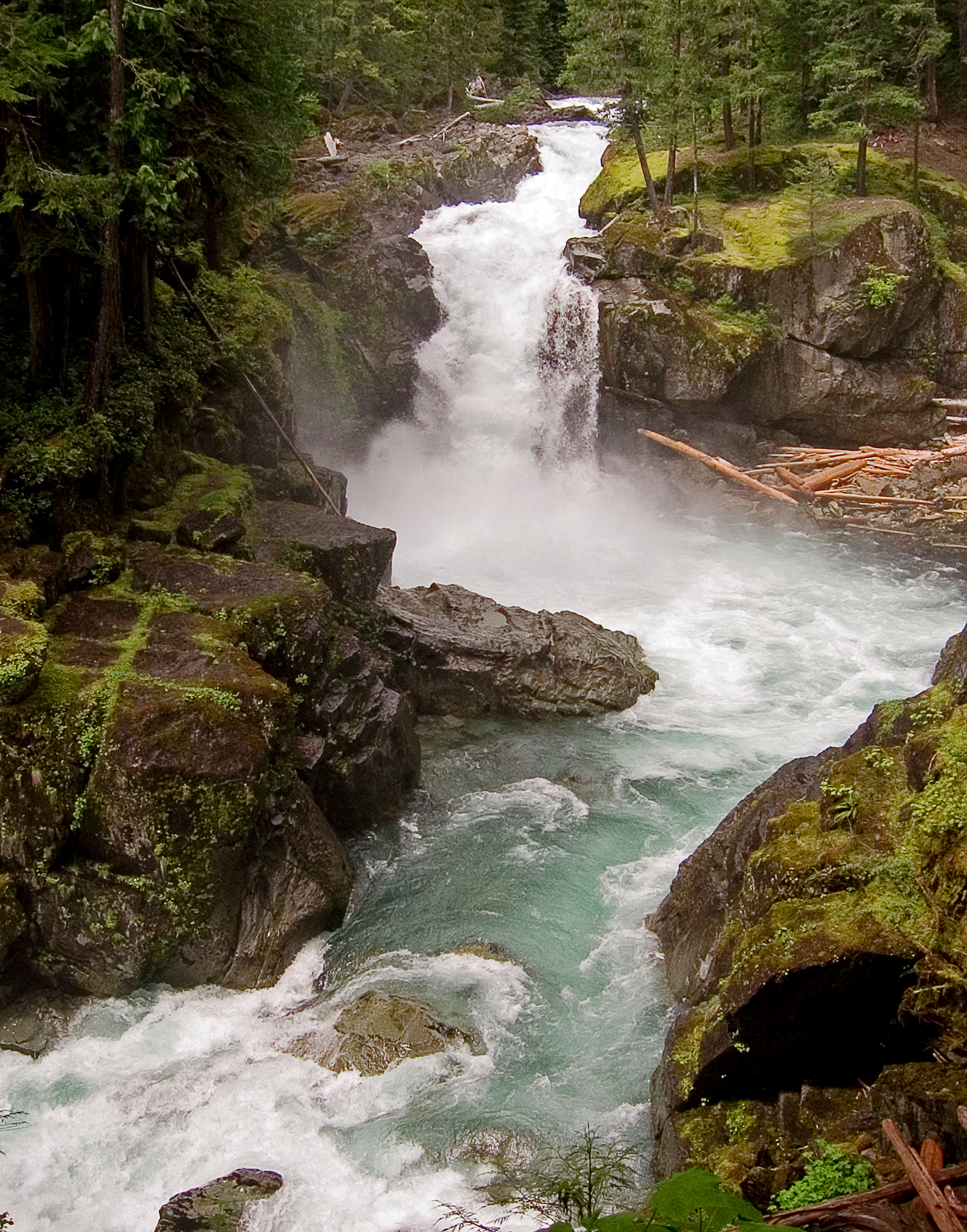 Ohanapecosh RiverCanoeing · ~31 min drivePhoto: Pfly, CC BY-SA 3.0 (via Wikimedia Commons)
 Naches RiverCanoeing · ~39 min drivePhoto: Williamborg 04:19, 29 May 2007 (UTC), Public domain (via Wikimedia Commons)

