Rimrock Lake Resort
Campground
Campground · 1.0 mi from the trail
Closure in the area
There's a closure order in Okanogan-Wenatchee National Forest. It doesn't name Horseshoe Cove Boat Launch, so check the source for the area it covers (2 listed).
Little Giant Fire Closure Superseding
Agency closure covering Okanogan-Wenatchee National Forest · Order 06-17-07-2026-48 · USFS · Okanogan-Wenatchee National Forest
Railroad and Preston Creek Road Closure
Agency closure covering Okanogan-Wenatchee National Forest · Order 06-17-05-26-04 · USFS · Okanogan-Wenatchee National Forest
Cle Elum River Restoration Area Closure on the Cle Elum Ranger District
Agency alert covering Okanogan-Wenatchee National Forest · USFS · Okanogan-Wenatchee National Forest
Gold Creek Restoration Project Area Closure on Cle Elum Ranger District
Agency alert covering Okanogan-Wenatchee National Forest · USFS · Okanogan-Wenatchee National Forest
Grouse Creek Aquatic Project Road Closure on the Wenatchee River Ranger District
Agency alert covering Okanogan-Wenatchee National Forest · USFS · Okanogan-Wenatchee National Forest
As of · Source: USFS · Okanogan-Wenatchee National Forest. Agencies don't list every closure — check before you go.
Horseshoe Cove Boat Launch is a Forest Service boat launch in the Naches Ranger District of the Okanogan-Wenatchee National Forest in Washington, about 17 miles from the town of Tampico. The launch is not reservable, so plan on arriving and getting on the water without a reservation. Summer is the most comfortable time to visit. Typical averages from a nearby weather station show July and August highs around 75 to 76°F with only seven or eight wet days a month, while winter brings highs in the mid-30s and regular snow days from December through February. Several other spots sit within a few miles. Russell Ridge Trail and Indian Creek (WA) campground are both about 2 miles away, and the South Fork Cliff climbing area is about 2 miles off. Paddlers can also look to the South Fork Tieton River, roughly 7 miles away.
Rimrock Lake Resort
Campground
White Pass Taqueria + Taproom
Restaurant
Places © OpenStreetMap contributors
More in Packwood Indian Creek (WA)CampingPhoto: Recreation.gov (RIDB) / public domain1.9 mi
Source: Roamze catalog (indexable pages within 10 miles, PostGIS distance)
 Tieton RiverCanoeing · ~9 min drivePhoto: Williamborg 04:31, 29 May 2007 (UTC), Public domain (via Wikimedia Commons)
 Naches RiverCanoeing · ~33 min drivePhoto: Williamborg 04:19, 29 May 2007 (UTC), Public domain (via Wikimedia Commons)
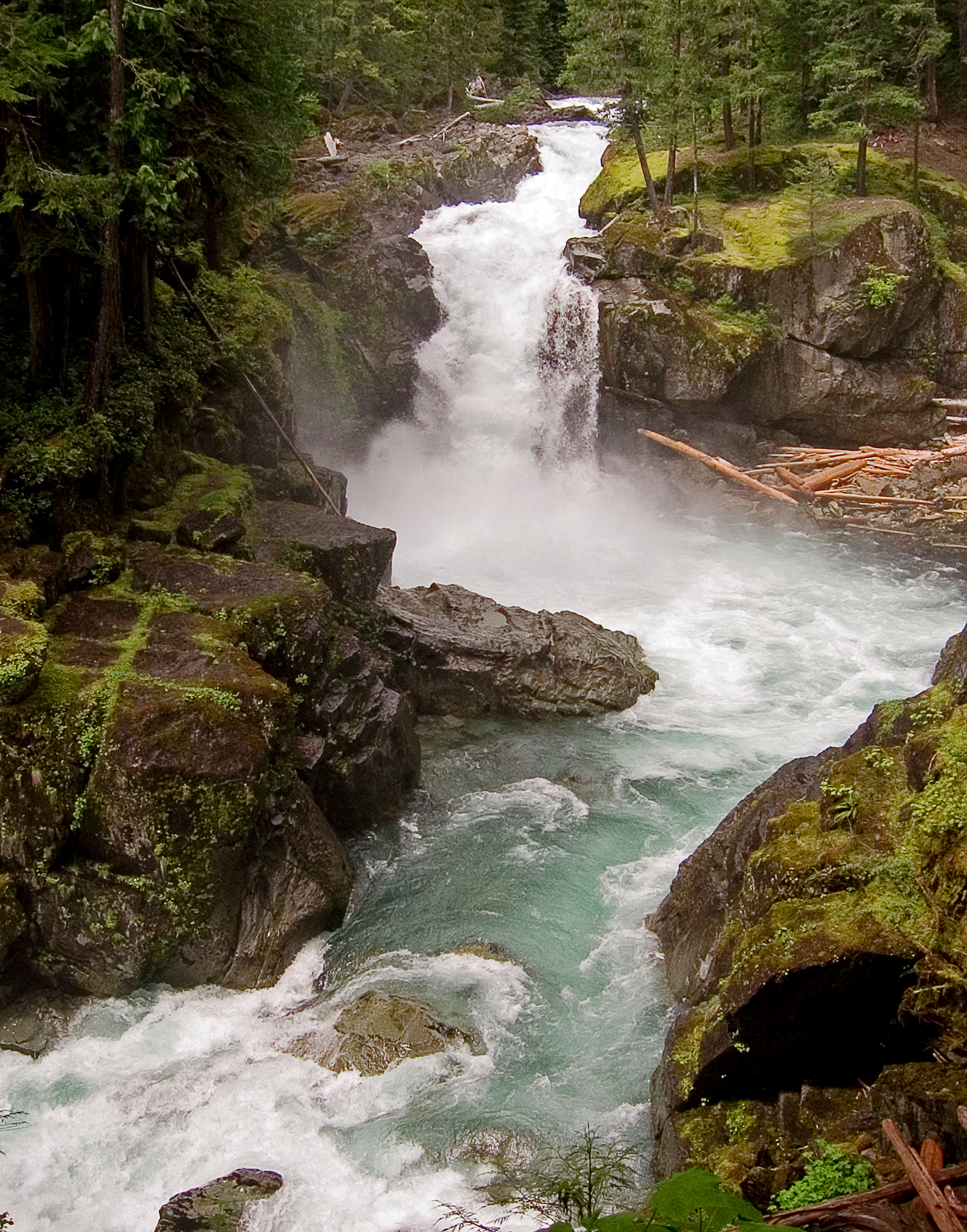 Ohanapecosh RiverCanoeing · ~35 min drivePhoto: Pfly, CC BY-SA 3.0 (via Wikimedia Commons)
 Cowlitz RiverCanoeing · ~35 min drivePhoto: Lou's Canon, CC BY-SA 3.0 (via Wikimedia Commons)
Also worth it near here
Best months: July–September. Best months have typical highs of 55–85 °F, lows of 30 °F or warmer (32 °F where the station doesn't record snow), at most one snowy day and no more than 12 wet days.
Jan
37° / 26°
21 wet · 9 snow
Feb
40° / 26°
18 wet · 8 snow
Mar
45° / 28°
20 wet · 8 snow
Apr
51° / 31°
18 wet · 4 snow
May
60° / 37°
17 wet · 1 snow
Jun
66° / 41°
14 wet
Jul
75° / 46°
8 wet
Aug
76° / 46°
7 wet
Sep
69° / 42°
10 wet
Oct
55° / 35°
16 wet · 1 snow
Nov
42° / 29°
19 wet · 5 snow
Dec
36° / 25°
21 wet · 10 snow
Typical high / low (°F) and days with rain or snow, 1991–2020. Measured at Longmire Rainier Nps, WA, 29.9 mi away at 2,762 ft. Source: NOAA NCEI U.S. Climate Normals 1991–2020.


