Dog Lake Campground
Campground
Campground · 0.5 mi from the trail
Closure in the area
There's a closure order in Okanogan-Wenatchee National Forest. It doesn't name Clear Creek Falls, so check the source for the area it covers (2 listed).
Little Giant Fire Closure Superseding
Agency closure covering Okanogan-Wenatchee National Forest · Order 06-17-07-2026-48 · USFS · Okanogan-Wenatchee National Forest
Railroad and Preston Creek Road Closure
Agency closure covering Okanogan-Wenatchee National Forest · Order 06-17-05-26-04 · USFS · Okanogan-Wenatchee National Forest
Cle Elum River Restoration Area Closure on the Cle Elum Ranger District
Agency alert covering Okanogan-Wenatchee National Forest · USFS · Okanogan-Wenatchee National Forest
Gold Creek Restoration Project Area Closure on Cle Elum Ranger District
Agency alert covering Okanogan-Wenatchee National Forest · USFS · Okanogan-Wenatchee National Forest
Grouse Creek Aquatic Project Road Closure on the Wenatchee River Ranger District
Agency alert covering Okanogan-Wenatchee National Forest · USFS · Okanogan-Wenatchee National Forest
As of · Source: USFS · Okanogan-Wenatchee National Forest. Agencies don't list every closure — check before you go.
Clear Creek Falls is a waterfall in Washington's Okanogan-Wenatchee National Forest, on the Naches Ranger District, about 15.5 miles from the town of Packwood. It sits at 3,796 feet on land managed by the Forest Service. Summer is the most comfortable time to visit. July and August bring typical highs in the mid-70s and lows around 46 degrees, with only seven or eight wet days a month, according to typical averages from a nearby weather station at Longmire. That station sits roughly 1,000 feet lower, so temperatures at the falls run a little cooler. Dog Lake Campground and the Cramer Lake hike are both about half a mile away, and White Pass Lake (Leech Lake) Campground is 1.8 miles off. Leech Lake, about 2 miles away, offers fishing.
Dog Lake Campground
Campground
White Pass Taqueria + Taproom
Restaurant
 If it rainsSteven Pavlov, CC BY-SA 4.0 · Wikimedia Commons
Places © OpenStreetMap contributors · Photos: Steven Pavlov, CC BY-SA 4.0 (commons)
More in PackwoodElevation from USGS 3D Elevation Program terrain data (about 10 m resolution).
Source: Roamze catalog (indexable pages within 10 miles, PostGIS distance)
 Silver FallsWaterfall · ~20 min drivePhoto: VitaleBaby, Public domain (via Wikimedia Commons)
 Narada FallsWaterfall · ~35 min drivePhoto: Mr.Z-man, CC BY-SA 3.0 (via Wikimedia Commons)
 Carter FallsWaterfall · ~36 min drivePhoto: NPS Photo, Public domain (via Wikimedia Commons)
 Christine FallsWaterfall · ~38 min drivePhoto: Doss Imaging, CC BY 3.0 (via Wikimedia Commons)
 Comet FallsWaterfall · ~39 min drivePhoto: J Brew, CC BY-SA 2.0 (via Wikimedia Commons)
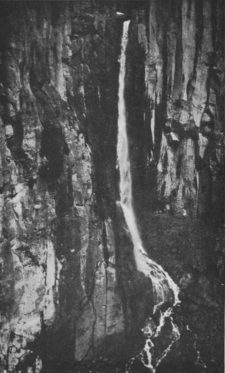 Pearl FallsWaterfall · ~40 min drivePhoto: National Park Service, Public domain (via Wikimedia Commons)
Best months: July–September. Best months have typical highs of 55–85 °F, lows of 30 °F or warmer (32 °F where the station doesn't record snow), at most one snowy day and no more than 12 wet days.
Jan
37° / 26°
21 wet · 9 snow
Feb
40° / 26°
18 wet · 8 snow
Mar
45° / 28°
20 wet · 8 snow
Apr
51° / 31°
18 wet · 4 snow
May
60° / 37°
17 wet · 1 snow
Jun
66° / 41°
14 wet
Jul
75° / 46°
8 wet
Aug
76° / 46°
7 wet
Sep
69° / 42°
10 wet
Oct
55° / 35°
16 wet · 1 snow
Nov
42° / 29°
19 wet · 5 snow
Dec
36° / 25°
21 wet · 10 snow
Typical high / low (°F) and days with rain or snow, 1991–2020. Measured at Longmire Rainier Nps, WA, 22.8 mi away at 2,762 ft. The station sits about 1,000 ft lower than this place, so expect it a little cooler here. Source: NOAA NCEI U.S. Climate Normals 1991–2020.


