Alder Creek
- 4.6 mi
- distance
- 1,059 ft
- high point
- Jul–Sep
- best months
Alder Creek is a 4.5-mile paddling stretch near Forks, Washington, on land managed by the State Department of Natural Resources. It flows year-round, with an average flow of about 31 cubic feet per second and a gradient of roughly 188 feet per mile, according to USGS models. These figures make it a steady, consistent run rather than a fast-moving or slow-moving waterway. Summer is the most comfortable time to paddle. Typical averages from a nearby weather station show July and August highs in the low 70s and only about 9 to 11 wet days a month, while winter months bring highs in the mid-40s and rain on roughly 20 to 24 days. Other paddling is close by: Hell Roaring Creek is about 1.4 miles away and Elk Creek about 2.5 miles. Hikers can reach the Bogachiel Rain Forest about 3.7 miles off, and the Klahanie campground is about 9.6 miles away for overnight stays.
Local outfitters
- Crescent Beach33 mi away
- Sooke River Campground45 mi away
Not on Roamze yet. Their page has how to reach them.
- Hell Roaring CreekCanoeing1.4 mi
- Elk CreekCanoeing2.5 mi
 Morgenroth Homestead TrailHikingPhoto: U.S. Forest Service- Pacific Northwest Region, Public domain (via Wikimedia Commons)3.5 mi
- Winfield CreekCanoeing3.6 mi
- Bogachiel Rain Forest WetlandHikingPhoto: U.S. Forest Service- Pacific Northwest Region, Public domain (via Wikimedia Commons)3.6 mi
- Bogachiel Rain ForestHikingPhoto: U.S. Forest Service- Pacific Northwest Region, Public domain (via Wikimedia Commons)3.7 mi
- Bear CreekCanoeing6.3 mi
- KlahanieCamping9.6 mi
Source: Roamze catalog (indexable pages within 10 miles, PostGIS distance)
 Mosquito CreekCanoeing · ~16 min drivePhoto: U.S. Forest Service, Public domain (via Wikimedia Commons)
- Hoh BoundaryBoat launch · ~17 min drive
- Hell Roaring CreekCanoeing · ~2 min drive
- Three Rivers Boat LaunchBoat launch · ~26 min drive
- Elk CreekCanoeing · ~4 min drive
- Queets CampgroundBoat launch · ~30 min drive
- Winfield CreekCanoeing · ~6 min drive
- Morgan's Crossing Boating SiteBoat launch · ~9 min drive
- Bear CreekCanoeing · ~11 min drive
- Goodman CreekCanoeing · ~11 min drive
Also worth it near here
- Morgenroth Homestead TrailHiking · ~6 min drivePhoto: U.S. Forest Service- Pacific Northwest Region, Public domain (via Wikimedia Commons)
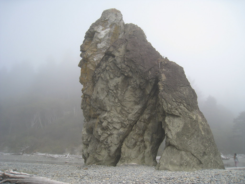 Ruby beach boulder stacksRock climbing · ~21 min drivePhoto: GSEC, CC BY 2.0 (via Flickr)
- Ruby Beach, Olympic National ParkBeach · ~21 min drive
- Pine MountainSummit · ~26 min drive
Best time to visit Alder Creek
Best months: July–September. Best months have typical highs of 55–85 °F, lows of 30 °F or warmer (32 °F where the station doesn't record snow), at most one snowy day and no more than 12 wet days.
Jan
47° / 35°
23 wet
Feb
50° / 34°
20 wet
Mar
53° / 36°
23 wet
Apr
59° / 38°
20 wet
May
64° / 43°
17 wet
Jun
68° / 47°
15 wet
Jul
73° / 50°
11 wet
Aug
74° / 51°
9 wet
Sep
70° / 47°
12 wet
Oct
60° / 42°
19 wet
Nov
51° / 37°
22 wet
Dec
46° / 34°
24 wet
Typical high / low (°F) and days with rain or snow, 1991–2020. Measured at Forks 1 E, WA, 10 mi away at 350 ft. The station sits about 700 ft lower than this place, so expect it a little cooler here. This station doesn't record snowfall. Source: NOAA NCEI U.S. Climate Normals 1991–2020.
