Morgan's Crossing Boating Site
- Jul–Sep
- best months
Caution today
Agency alerts are in effect for this area; weather is good · USFS, OpenWeather · checked 7 h ago
Is Morgan's Crossing Boating Site open right now?
Alert in the area
The Forest Service lists 5 alerts for Olympic National Forest.
Roads to be Closed for Wildlife on October 1, 2026
Agency alert covering Olympic National Forest · USFS · Olympic National Forest
FS-2451 and Copper Creek Trail Closure
Agency alert covering Olympic National Forest · Order 06-09-26-10 · USFS · Olympic National Forest
FS-2160 Road Closure for Bridge Inspection
Agency alert covering Olympic National Forest · Order 06-09-26-07 · USFS · Olympic National Forest
High Steel Bridge and surrounding area closed to pedestrians/off trail hiking
Agency alert covering Olympic National Forest · Order 06-09-24-08 · USFS · Olympic National Forest
Alcohol ban in effect along Lake Cushman corridor
Agency alert covering Olympic National Forest · USFS · Olympic National Forest
As of · Source: USFS · Olympic National Forest. Agencies don't list every closure — check before you go.
Morgan's Crossing Boating Site is a boat launch in the Pacific Ranger District/Forks of Olympic National Forest in Washington, about 16 miles from the town of Forks. Summer is the most comfortable time to visit. Typical averages from a nearby weather station in Forks show July and August highs in the low to mid 70s, with only about nine to 11 wet days a month, while winter months bring highs in the upper 40s and rain on most days. Several paddling spots lie close by, including Maple Creek about 2.6 miles away and Elk Creek and Winfield Creek at about 4 miles. For a hike, the Bogachiel River South Bank Trail is roughly 4.8 miles off.
- Fee
- No fee
- Restrooms
- No
- Maple CreekCanoeing2.6 mi
- Elk CreekCanoeing4 mi
- Winfield CreekCanoeing4 mi
- Owl CreekCanoeing4.4 mi
 South Snyder-Jackson Primitive TrailHikingPhoto: John Fowler from Placitas, NM, USA, CC BY 2.0 (via Wikimedia Commons)4.6 mi
- Bogachiel River South Bank TrailHiking4.8 mi
- East Twin Creek RouteHikingPhoto: John Fowler from Placitas, NM, USA, CC BY 2.0 (via Wikimedia Commons)6.5 mi
 Bogachiel Rain Forest WetlandHikingPhoto: U.S. Forest Service- Pacific Northwest Region, Public domain (via Wikimedia Commons)8.2 mi
Source: Roamze catalog (indexable pages within 10 miles, PostGIS distance)
 Mosquito CreekCanoeing · ~24 min drivePhoto: U.S. Forest Service, Public domain (via Wikimedia Commons)
- Hoh BoundaryBoat launch · ~8 min drive
- Maple CreekCanoeing · ~4 min drive
- Queets CampgroundBoat launch · ~23 min drive
- Elk CreekCanoeing · ~7 min drive
- StreatersBoat launch · ~26 min drive
- Winfield CreekCanoeing · ~7 min drive
- Hartzell Creek Boat LaunchBoat launch · ~32 min drive
- Owl CreekCanoeing · ~8 min drive
- Alder CreekCanoeing · ~9 min drive
Also worth it near here
- Hoh River Trust CampgroundCamping · ~2 min drive
- South Snyder-Jackson Primitive TrailHiking · ~8 min drivePhoto: John Fowler from Placitas, NM, USA, CC BY 2.0 (via Wikimedia Commons)
- Ruby Beach, Olympic National ParkBeach · ~26 min drive
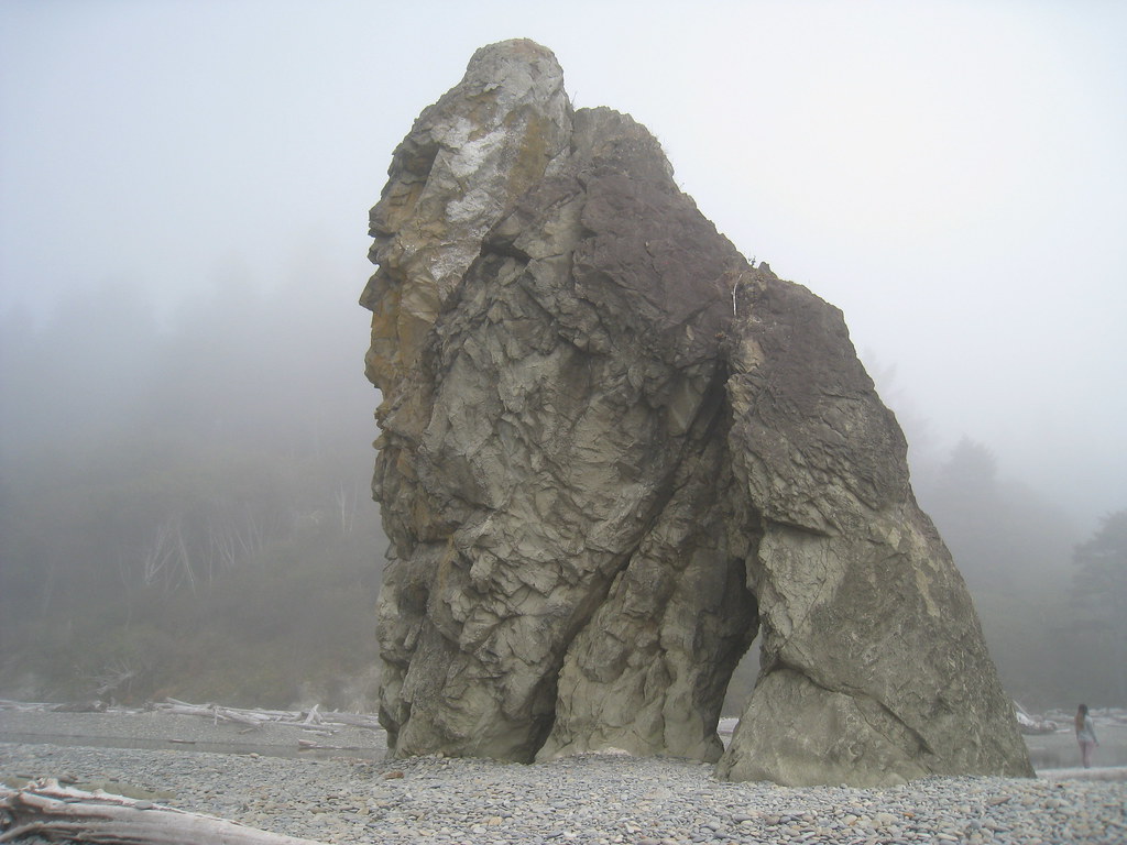 Ruby beach boulder stacksRock climbing · ~26 min drivePhoto: GSEC, CC BY 2.0 (via Flickr)
Best time to visit Morgan's Crossing Boating Site
Best months: July–September. Best months have typical highs of 55–85 °F, lows of 30 °F or warmer (32 °F where the station doesn't record snow), at most one snowy day and no more than 12 wet days.
Jan
47° / 35°
23 wet
Feb
50° / 34°
20 wet
Mar
53° / 36°
23 wet
Apr
59° / 38°
20 wet
May
64° / 43°
17 wet
Jun
68° / 47°
15 wet
Jul
73° / 50°
11 wet
Aug
74° / 51°
9 wet
Sep
70° / 47°
12 wet
Oct
60° / 42°
19 wet
Nov
51° / 37°
22 wet
Dec
46° / 34°
24 wet
Typical high / low (°F) and days with rain or snow, 1991–2020. Measured at Forks 1 E, WA, 14.6 mi away at 350 ft. We don't have this place's elevation, so higher spots nearby can run cooler. This station doesn't record snowfall. Source: NOAA NCEI U.S. Climate Normals 1991–2020.
