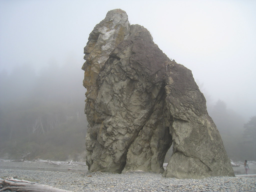
Morgenroth Homestead Trail
 Photo: U.S. Forest Service- Pacific Northwest Region, Public domain (via Wikimedia Commons)
- 0.3 mi
- round trip
- 105 ft
- climb
- 322 ft
- high point
- Out and back
- route
- Jul–Sep
- best months
Is Morgenroth Homestead Trail open right now?
Alert in the area
The Forest Service lists 5 alerts for Olympic National Forest.
Roads to be Closed for Wildlife on October 1, 2026
Agency alert covering Olympic National Forest · USFS · Olympic National Forest
FS-2451 and Copper Creek Trail Closure
Agency alert covering Olympic National Forest · Order 06-09-26-10 · USFS · Olympic National Forest
FS-2160 Road Closure for Bridge Inspection
Agency alert covering Olympic National Forest · Order 06-09-26-07 · USFS · Olympic National Forest
High Steel Bridge and surrounding area closed to pedestrians/off trail hiking
Agency alert covering Olympic National Forest · Order 06-09-24-08 · USFS · Olympic National Forest
Alcohol ban in effect along Lake Cushman corridor
Agency alert covering Olympic National Forest · USFS · Olympic National Forest
As of · Source: USFS · Olympic National Forest. Agencies don't list every closure — check before you go.
Morgenroth Homestead Trail is a short, easy out-and-back hike in the Pacific Ranger District/Forks of Olympic National Forest in Washington, managed by the Forest Service. The trail is about 0.6 miles long, with a high point of 322 feet and a low of 313 feet, so the climb is nearly flat. It is rated easy, and the route is short enough to fit into a longer day of exploring the surrounding area. Summer is the most comfortable time to visit. Typical averages from a nearby weather station in Forks show July and August highs in the low 70s with the fewest wet days of the year, while winter months bring highs in the mid-40s and rain on most days. The trail is open to both horses and bikes, so it works for riders and pack animals as well as hikers. Bogachiel Rain Forest lies just 0.2 miles away, and Bogachiel Rain Forest Wetland is about 0.6 miles off. Paddlers can head to Bear Creek, roughly 2.8 miles away, and Klahanie campground is about 6 miles from the trail.
Local outfitters
- 3 Rivers Resort12 mi away
- Kalaloch Lodge20 mi away
Not on Roamze yet. Their page has how to reach them.
- Bogachiel Rain ForestHikingPhoto: U.S. Forest Service- Pacific Northwest Region, Public domain (via Wikimedia Commons)0.2 mi
- Bogachiel Rain Forest WetlandHikingPhoto: U.S. Forest Service- Pacific Northwest Region, Public domain (via Wikimedia Commons)0.6 mi
- Bear CreekCanoeing2.8 mi
- Alder CreekCanoeing3.5 mi
- Hell Roaring CreekCanoeing3.8 mi
- Elk CreekCanoeing4.9 mi
- KlahanieCamping6.1 mi
- North Snyder-Jackson TrailHiking6.3 mi
Source: Roamze catalog (indexable pages within 10 miles, PostGIS distance)
- Bogachiel Rain ForestHiking · Next doorPhoto: U.S. Forest Service- Pacific Northwest Region, Public domain (via Wikimedia Commons)
 Goodman Creek TrailHiking · ~20 min drivePhoto: Jason Hollinger, CC BY 2.0 (via Wikimedia Commons)
 South Snyder-Jackson Primitive TrailHiking · ~21 min drivePhoto: John Fowler from Placitas, NM, USA, CC BY 2.0 (via Wikimedia Commons)
- Sitkum TrailHiking · ~11 min drive
- Bogachiel Rain Forest WetlandHiking · ~1 min drivePhoto: U.S. Forest Service- Pacific Northwest Region, Public domain (via Wikimedia Commons)
 Hoh Head TrailHiking · ~20 min drivePhoto: pfly, CC BY-SA 2.0 (via Wikimedia Commons)
 Hoh River TrailHiking · ~31 min drivePhoto: Mark Yasuda, CC BY-SA 4.0 (via Wikimedia Commons)
- Kloshe Nanitch TrailHiking · ~26 min drive
 Oil City TrailHiking · ~20 min drivePhoto: Sam Beebe/Ecotrust, CC BY-SA 3.0 (via Wikimedia Commons)
- Reede Hill LoopHiking · ~11 min drive
Also worth it near here
Best time to visit Morgenroth Homestead Trail
Best months: July–September. Best months have typical highs of 55–85 °F, lows of 30 °F or warmer (32 °F where the station doesn't record snow), at most one snowy day and no more than 12 wet days.
Jan
47° / 35°
23 wet
Feb
50° / 34°
20 wet
Mar
53° / 36°
23 wet
Apr
59° / 38°
20 wet
May
64° / 43°
17 wet
Jun
68° / 47°
15 wet
Jul
73° / 50°
11 wet
Aug
74° / 51°
9 wet
Sep
70° / 47°
12 wet
Oct
60° / 42°
19 wet
Nov
51° / 37°
22 wet
Dec
46° / 34°
24 wet
Typical high / low (°F) and days with rain or snow, 1991–2020. Measured at Forks 1 E, WA, 6.5 mi away at 350 ft. This station doesn't record snowfall. Source: NOAA NCEI U.S. Climate Normals 1991–2020.