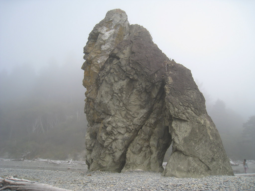
Bogachiel Rain Forest
 Photo: U.S. Forest Service- Pacific Northwest Region, Public domain (via Wikimedia Commons)
- 1.7 mi
- round trip
- 660 ft
- climb
- 466 ft
- high point
- Out and back
- route
- Jul–Sep
- best months
Is Bogachiel Rain Forest open right now?
Alert in the area
The Forest Service lists 5 alerts for Olympic National Forest.
Roads to be Closed for Wildlife on October 1, 2026
Agency alert covering Olympic National Forest · USFS · Olympic National Forest
FS-2451 and Copper Creek Trail Closure
Agency alert covering Olympic National Forest · Order 06-09-26-10 · USFS · Olympic National Forest
FS-2160 Road Closure for Bridge Inspection
Agency alert covering Olympic National Forest · Order 06-09-26-07 · USFS · Olympic National Forest
High Steel Bridge and surrounding area closed to pedestrians/off trail hiking
Agency alert covering Olympic National Forest · Order 06-09-24-08 · USFS · Olympic National Forest
Alcohol ban in effect along Lake Cushman corridor
Agency alert covering Olympic National Forest · USFS · Olympic National Forest
As of · Source: USFS · Olympic National Forest. Agencies don't list every closure — check before you go.
Bogachiel Rain Forest is a 1.68-mile out-and-back trail in Washington managed by the Forest Service. The route gains 369 feet of elevation and loses 523 feet.
Local outfitters
- 3 Rivers Resort12 mi away
- Kalaloch Lodge20 mi away
Not on Roamze yet. Their page has how to reach them.
- Morgenroth Homestead TrailHikingPhoto: U.S. Forest Service- Pacific Northwest Region, Public domain (via Wikimedia Commons)0.2 mi
- Bogachiel Rain Forest WetlandHikingPhoto: U.S. Forest Service- Pacific Northwest Region, Public domain (via Wikimedia Commons)0.7 mi
- Bear CreekCanoeing2.6 mi
- Alder CreekCanoeing3.7 mi
- Hell Roaring CreekCanoeing4 mi
- Elk CreekCanoeing4.7 mi
- KlahanieCamping5.9 mi
- North Snyder-Jackson TrailHiking6.3 mi
Source: Roamze catalog (indexable pages within 10 miles, PostGIS distance)
- Morgenroth Homestead TrailHiking · Next doorPhoto: U.S. Forest Service- Pacific Northwest Region, Public domain (via Wikimedia Commons)
 Goodman Creek TrailHiking · ~20 min drivePhoto: Jason Hollinger, CC BY 2.0 (via Wikimedia Commons)
 South Snyder-Jackson Primitive TrailHiking · ~21 min drivePhoto: John Fowler from Placitas, NM, USA, CC BY 2.0 (via Wikimedia Commons)
- Sitkum TrailHiking · ~11 min drive
- Bogachiel Rain Forest WetlandHiking · ~1 min drivePhoto: U.S. Forest Service- Pacific Northwest Region, Public domain (via Wikimedia Commons)
 Hoh Head TrailHiking · ~20 min drivePhoto: pfly, CC BY-SA 2.0 (via Wikimedia Commons)
 Hoh River TrailHiking · ~32 min drivePhoto: Mark Yasuda, CC BY-SA 4.0 (via Wikimedia Commons)
- Kloshe Nanitch TrailHiking · ~26 min drive
 Oil City TrailHiking · ~20 min drivePhoto: Sam Beebe/Ecotrust, CC BY-SA 3.0 (via Wikimedia Commons)
- Reede Hill LoopHiking · ~11 min drive
Also worth it near here
Best time to visit Bogachiel Rain Forest
Best months: July–September. Best months have typical highs of 55–85 °F, lows of 30 °F or warmer (32 °F where the station doesn't record snow), at most one snowy day and no more than 12 wet days.
Jan
47° / 35°
23 wet
Feb
50° / 34°
20 wet
Mar
53° / 36°
23 wet
Apr
59° / 38°
20 wet
May
64° / 43°
17 wet
Jun
68° / 47°
15 wet
Jul
73° / 50°
11 wet
Aug
74° / 51°
9 wet
Sep
70° / 47°
12 wet
Oct
60° / 42°
19 wet
Nov
51° / 37°
22 wet
Dec
46° / 34°
24 wet
Typical high / low (°F) and days with rain or snow, 1991–2020. Measured at Forks 1 E, WA, 6.3 mi away at 350 ft. This station doesn't record snowfall. Source: NOAA NCEI U.S. Climate Normals 1991–2020.