West Green Mountain Trail
- 1.4 mi
- round trip
- 1,462 ft
- climb
- 806 ft
- high point
- Out and back
- route
- Jun–Sep
- best months
West Green Mountain Trail is a moderate out-and-back hike in Washington, about 1.9 miles from the small community of Proebstel. The trail is roughly 2.8 miles long, with a total elevation gain of 1,462 feet, and the high point reaches 806 feet. The climb is front-loaded, with the steepest stretch at about 0.99 miles in, where the grade reaches 19 percent. Summer is the most comfortable time to go. Typical averages from the nearby Battle Ground weather station show July and August highs around 79 to 80°F with only about five wet days a month, while winter months bring highs in the mid-40s and rain on most days. The trip takes about 1.5 hours. The East Green Mountain Connector lies about half a mile away, and the Heritage Trail and South Forest Trail are each within a mile. Lacamas Creek, a canoeing spot, is also about a mile off.
Local outfitters
- Basecamp Adventure Co.14 mi away
- Wylark Mountaineering14 mi away
Not on Roamze yet. Their page has how to reach them.
Conditions and forecast on Green Mountain
Daily highs and lows, wind and the chance of precipitation at the summit and route start for the next 7 days, from the Open-Meteo model.
- East Green Mountain ConnectorHiking0.5 mi
- Heritage TrailHiking0.9 mi
- South Forest TrailHiking1 mi
 Lacamas CreekCanoeingPhoto: Steven Baltakatei Sandoval, CC BY-SA 4.0 (via Wikimedia Commons)1 mi
- Little Washougal RiverCanoeing4.8 mi
 Salmon CreekCanoeingPhoto: Visitor7, CC BY-SA 3.0 (via Wikimedia Commons)7.6 mi
- (1) North FaceRock climbing8.4 mi
- (2) Hanging GardensRock climbing8.4 mi
Source: Roamze catalog (indexable pages within 10 miles, PostGIS distance)
 Heron Loop TrailHiking · ~9 min drivePhoto: mjfmjfmjf, CC BY 2.0 (via Flickr)
 Marine Drive TrailHiking · ~11 min drivePhoto: wyzik, CC BY 2.0 (via Flickr)
 Cedar Circle TrailHiking · ~10 min drivePhoto: mjfmjfmjf, CC BY 2.0 (via Flickr)
- Heritage TrailHiking · ~6 min drive
 Lewis & Clark Discovery Greenway TrailHiking · ~10 min drivePhoto: mjfmjfmjf, CC BY 2.0 (via Flickr)
- Jones Creek TrailHiking · ~13 min drive
 Meadow RoadHiking · ~13 min drivePhoto: D&L Davis Family, CC BY 2.0 (via Flickr)
- I-84 Bike PathHiking · ~13 min drive
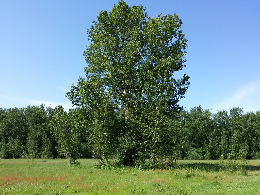 Old ChannelHiking · ~14 min drivePhoto: D&L Davis Family, CC BY 2.0 (via Flickr)
- East Green Mountain ConnectorHiking · Next door
Best time to visit West Green Mountain Trail
Best months: June–September. Best months have typical highs of 55–85 °F, lows of 30 °F or warmer (32 °F where the station doesn't record snow), at most one snowy day and no more than 12 wet days.
Jan
46° / 32°
21 wet
Feb
50° / 32°
18 wet
Mar
55° / 35°
20 wet
Apr
60° / 38°
18 wet
May
67° / 43°
14 wet
Jun
71° / 47°
10 wet
Jul
79° / 51°
5 wet
Aug
80° / 50°
5 wet
Sep
75° / 46°
9 wet
Oct
63° / 40°
16 wet
Nov
52° / 35°
20 wet
Dec
45° / 32°
22 wet · 1 snow
Typical high / low (°F) and days with rain or snow, 1991–2020. Measured at Battle Ground, WA, 9.2 mi away at 284 ft. The station sits about 500 ft lower than this place, so expect it a little cooler here. Source: NOAA NCEI U.S. Climate Normals 1991–2020.
Route details
- Distance
- 1.4 mi round trip
- Climbing
- About 1,462 ft
- Summit
- 797 ft
- Difficulty
- Moderate
- Time
- About 1 hour
Other routes up Green Mountain
Questions about this route
How long is the West Green Mountain Trail on Green Mountain?
About 1.4 mi round trip.
How much elevation gain is on the West Green Mountain Trail?
About 1,462 ft of climbing round trip.
How hard is the West Green Mountain Trail?
It is rated moderate.
How long does the West Green Mountain Trail take?
About 1 hour round trip.
How many routes go up Green Mountain?
2: East Green Mountain Connector and West Green Mountain Trail.
Map and trail data © OpenStreetMap contributors
