South Coast Beach Travelway
 Photo: Sam Beebe/Ecotrust, CC BY-SA 3.0 (via Wikimedia Commons)
- 1.8 mi
- round trip
- 482 ft
- climb
- 16 ft
- high point
- Out and back
- route
- Jul–Sep
- best months
Is South Coast Beach Travelway open right now?
Closure in the area
There's a closure order in Olympic National Park. It doesn't name South Coast Beach Travelway, so check the source for the area it covers.
Hurricane Ridge Road Closed, Wednesday 11/18, 8:45am
Park closure covering Olympic National Park · NPS · Olympic National Park
Visitors to Rialto, Ruby Beach & Coastal Areas Cautioned Due to High Tides
Park alert covering Olympic National Park · NPS · Olympic National Park
Bat Tests Positive for Rabies, Visitors Urged to Report Potential Contact
Park alert covering Olympic National Park · NPS · Olympic National Park
Full Burn Ban Begins August 7
Park alert covering Olympic National Park · NPS · Olympic National Park
Staircase Developed Area is Open, Use Caution in Burned Areas
Park alert covering Olympic National Park · NPS · Olympic National Park
As of · Source: NPS · Olympic National Park. Agencies don't list every closure — check before you go.
South Coast Beach Travelway is an easy, low-elevation hike in Olympic National Park, within the Daniel J. Evans Wilderness in Washington. The route is a short out-and-back that covers about 3.7 miles, with the trail rising from just a few feet to about 16 feet. It is a flat, straightforward walk with no gain to speak of, so it works well for a quick outing on the beach stretch of the park. Summer is the most comfortable time to go. Typical averages from a nearby weather station at Clearwater show July and August highs in the low 70s with only eight to nine wet days a month, while winter months bring highs in the upper 40s and rain on more than 20 days. A fee is charged for the visit. The trail starts close to the Oil City Trail, about a tenth of a mile away, and the Oil City Route (1990 Washout Reroute) is about 0.2 miles off. Farther afield, the Hoh Head Trail lies about 2 miles away and the Ruby beach boulder stacks about 2.6 miles away.
Local outfitters
- Kalaloch Lodge11 mi away
- 3 Rivers Resort12 mi away
Not on Roamze yet. Their page has how to reach them.
- Oil City TrailHikingPhoto: Sam Beebe/Ecotrust, CC BY-SA 3.0 (via Wikimedia Commons)0.1 mi
- Oil City Route (1990 Washout Reroute)HikingPhoto: Sam Beebe/Ecotrust, CC BY-SA 3.0 (via Wikimedia Commons)0.2 mi
 Hoh Head TrailHikingPhoto: pfly, CC BY-SA 2.0 (via Wikimedia Commons)2 mi
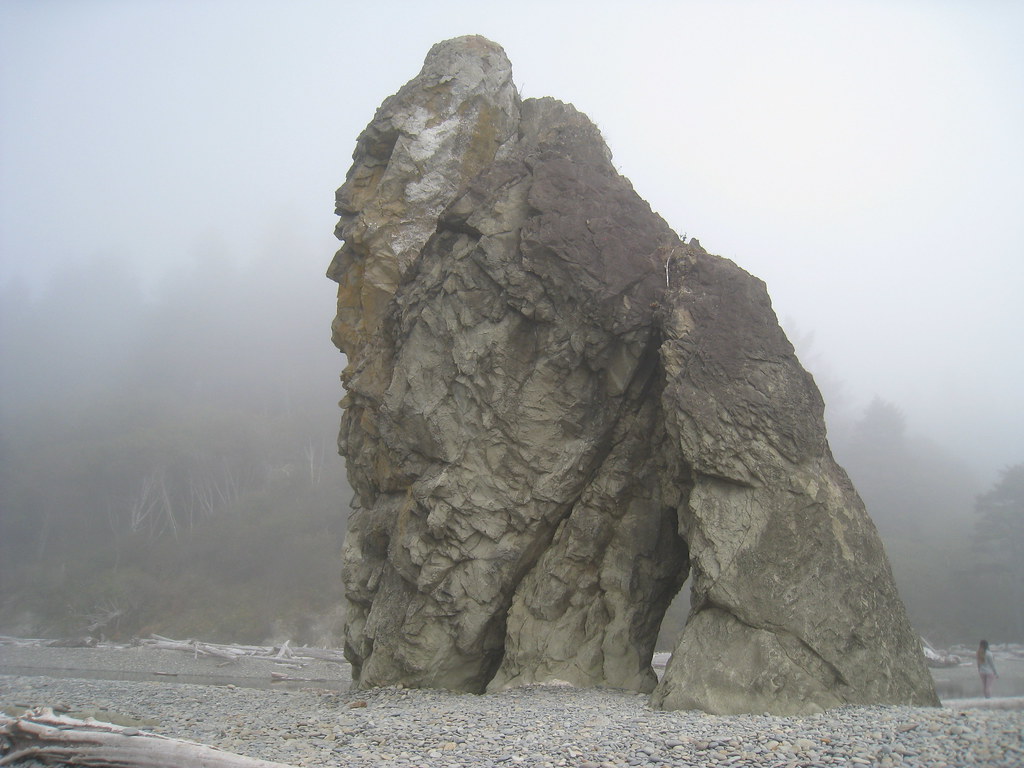 Ruby beach boulder stacksRock climbingPhoto: GSEC, CC BY 2.0 (via Flickr)2.6 mi
 Mosquito CreekCanoeingPhoto: U.S. Forest Service, Public domain (via Wikimedia Commons)3.3 mi
- Cedar CreekCanoeing4.6 mi
 Low Tide BoulderRock climbingPhoto: Hugo-90, CC BY 2.0 (via Flickr)8 mi
 KalalochCampingPhoto: Recreation.gov (RIDB) / public domain9.9 mi
Source: Roamze catalog (indexable pages within 10 miles, PostGIS distance)
- Oil City Route (1990 Washout Reroute)Hiking · Next doorPhoto: Sam Beebe/Ecotrust, CC BY-SA 3.0 (via Wikimedia Commons)
- Hoh Head TrailHiking · ~3 min drivePhoto: pfly, CC BY-SA 2.0 (via Wikimedia Commons)
 South Snyder-Jackson Primitive TrailHiking · ~34 min drivePhoto: John Fowler from Placitas, NM, USA, CC BY 2.0 (via Wikimedia Commons)
- Sitkum TrailHiking · ~31 min drive
 Taylor Point TrailHiking · ~18 min drivePhoto: Fannie E. Taylor, Public domain (via Wikimedia Commons)
 Goodman Creek TrailHiking · ~11 min drivePhoto: Jason Hollinger, CC BY 2.0 (via Wikimedia Commons)
 Hoh River TrailHiking · ~46 min drivePhoto: Mark Yasuda, CC BY-SA 4.0 (via Wikimedia Commons)
- Queets River TrailHiking · ~41 min drive
 Morgenroth Homestead TrailHiking · ~20 min drivePhoto: U.S. Forest Service- Pacific Northwest Region, Public domain (via Wikimedia Commons)
- Reede Hill LoopHiking · ~22 min drive
Best time to visit South Coast Beach Travelway
Best months: July–September. Best months have typical highs of 55–85 °F, lows of 30 °F or warmer (32 °F where the station doesn't record snow), at most one snowy day and no more than 12 wet days.
Jan
47° / 36°
23 wet
Feb
51° / 34°
19 wet
Mar
54° / 37°
21 wet
Apr
59° / 39°
18 wet
May
64° / 43°
15 wet
Jun
67° / 47°
13 wet
Jul
72° / 50°
9 wet
Aug
73° / 50°
8 wet
Sep
70° / 46°
11 wet
Oct
61° / 42°
18 wet
Nov
51° / 38°
22 wet
Dec
46° / 34°
23 wet
Typical high / low (°F) and days with rain or snow, 1991–2020. Measured at Clearwater, WA, 14 mi away at 80 ft. This station doesn't record snowfall. Source: NOAA NCEI U.S. Climate Normals 1991–2020.
