Oil City Route (1990 Washout Reroute)
 Photo: Sam Beebe/Ecotrust, CC BY-SA 3.0 (via Wikimedia Commons)
- 0.3 mi
- round trip
- 242 ft
- climb
- 178 ft
- high point
- Out and back
- route
- Jul–Sep
- best months
The Oil City Route (1990 Washout Reroute) is a short, easy out-and-back hike in Olympic National Park in Washington, managed by the National Park Service. The route is about 0.6 miles long, with a total elevation gain of 242 feet, and it is rated easy. The reroute was put in place after a 1990 washout, and the trail's high point reaches about 178 feet. Summer is the most comfortable time to go. Typical averages from a nearby weather station show July and August highs around 68 to 69°F, with about nine or ten wet days a month, while winter months bring highs in the upper 40s and rain on most days. The hike sits close to several other routes. The South Coast Beach Travelway and the Oil City Trail are each about 0.2 miles away, and the Hoh Head Trail is about 1.8 miles off. For an overnight stay, Kalaloch campground is about 10 miles away.
Local outfitters
- Kalaloch Lodge11 mi away
- 3 Rivers Resort12 mi away
Not on Roamze yet. Their page has how to reach them.
- South Coast Beach TravelwayHikingPhoto: Sam Beebe/Ecotrust, CC BY-SA 3.0 (via Wikimedia Commons)0.2 mi
- Oil City TrailHikingPhoto: Sam Beebe/Ecotrust, CC BY-SA 3.0 (via Wikimedia Commons)0.2 mi
 Hoh Head TrailHikingPhoto: pfly, CC BY-SA 2.0 (via Wikimedia Commons)1.8 mi
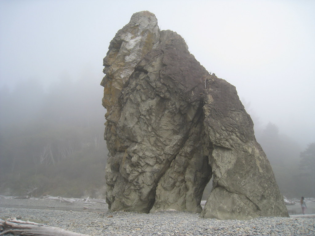 Ruby beach boulder stacksRock climbingPhoto: GSEC, CC BY 2.0 (via Flickr)2.7 mi
 Mosquito CreekCanoeingPhoto: U.S. Forest Service, Public domain (via Wikimedia Commons)3.3 mi
- Cedar CreekCanoeing4.8 mi
 Low Tide BoulderRock climbingPhoto: Hugo-90, CC BY 2.0 (via Flickr)8.1 mi
 KalalochCampingPhoto: Recreation.gov (RIDB) / public domain10 mi
Source: Roamze catalog (indexable pages within 10 miles, PostGIS distance)
- South Coast Beach TravelwayHiking · Next doorPhoto: Sam Beebe/Ecotrust, CC BY-SA 3.0 (via Wikimedia Commons)
- Hoh Head TrailHiking · ~3 min drivePhoto: pfly, CC BY-SA 2.0 (via Wikimedia Commons)
 South Snyder-Jackson Primitive TrailHiking · ~34 min drivePhoto: John Fowler from Placitas, NM, USA, CC BY 2.0 (via Wikimedia Commons)
- Sitkum TrailHiking · ~31 min drive
- Oil City TrailHiking · Next doorPhoto: Sam Beebe/Ecotrust, CC BY-SA 3.0 (via Wikimedia Commons)
 Goodman Creek TrailHiking · ~11 min drivePhoto: Jason Hollinger, CC BY 2.0 (via Wikimedia Commons)
 Hoh River TrailHiking · ~46 min drivePhoto: Mark Yasuda, CC BY-SA 4.0 (via Wikimedia Commons)
- Queets River TrailHiking · ~42 min drive
 Taylor Point TrailHiking · ~17 min drivePhoto: Fannie E. Taylor, Public domain (via Wikimedia Commons)
- Reede Hill LoopHiking · ~22 min drive
Best time to visit Oil City Route (1990 Washout Reroute)
Best months: July–September. Best months have typical highs of 55–85 °F, lows of 30 °F or warmer (32 °F where the station doesn't record snow), at most one snowy day and no more than 12 wet days.
Jan
47° / 36°
22 wet
Feb
49° / 35°
19 wet
Mar
51° / 37°
22 wet
Apr
55° / 39°
19 wet
May
60° / 43°
16 wet
Jun
63° / 48°
14 wet
Jul
68° / 51°
10 wet
Aug
69° / 51°
9 wet
Sep
67° / 47°
12 wet
Oct
59° / 42°
18 wet
Nov
51° / 38°
21 wet
Dec
47° / 35°
23 wet
Typical high / low (°F) and days with rain or snow, 1991–2020. Measured at Quillayute State Ap, WA, 14 mi away at 185 ft. This station doesn't record snowfall. Source: NOAA NCEI U.S. Climate Normals 1991–2020.
