Non-Existant Swamp Trail
- 0.5 mi
- round trip
- 133 ft
- climb
- 232 ft
- high point
- Out and back
- route
- Jul–Sep
- best months
Non-Existant Swamp Trail is a short, easy out-and-back hike in Washington, about half a mile from the town of Middle Nemah. The trail is just under a mile long, with a total elevation gain of about 130 feet, and it reaches a high point of about 230 feet. The climb is front-loaded, with the steepest stretch at the start, and the trail returns to its starting elevation of about 120 feet. Summer is the most comfortable time to go. Typical averages from a nearby weather station show July and August highs in the low 70s with only seven or eight wet days a month, while winter brings highs in the upper 40s and rain on most days. The trip takes about half an hour, so it works well as a quick stop before or after time on the water. The South Nemah River is about 2 miles away, and the Middle Nemah River is about 3 miles off. Snag Lake Trail and Don Bonker Cedar Grove Trail are both within about 5 miles for a longer outing.
Local outfitters
- Ocean Park Camp & Retreat Center9 mi away
- Snow Peak Campfield Long Beach13 mi away
Not on Roamze yet. Their page has how to reach them.
- South Nemah RiverCanoeing1.8 mi
- Middle Nemah RiverCanoeing2.9 mi
- North Nemah RiverCanoeing3.3 mi
- Williams CreekCanoeing3.8 mi
- Snag Lake TrailHiking5.2 mi
- Don Bonker Cedar Grove TrailHiking5.4 mi
- Canon RiverCanoeing5.9 mi
- Ellsworth CreekCanoeing7 mi
Source: Roamze catalog (indexable pages within 10 miles, PostGIS distance)
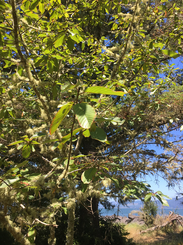 Jetty TrailHiking · ~34 min drivePhoto: r.mcminds, CC BY 2.0 (via Flickr)
 Fort to Sea TrailHiking · ~46 min drivePhoto: stevelyon, CC BY-SA 2.0 (via Flickr)
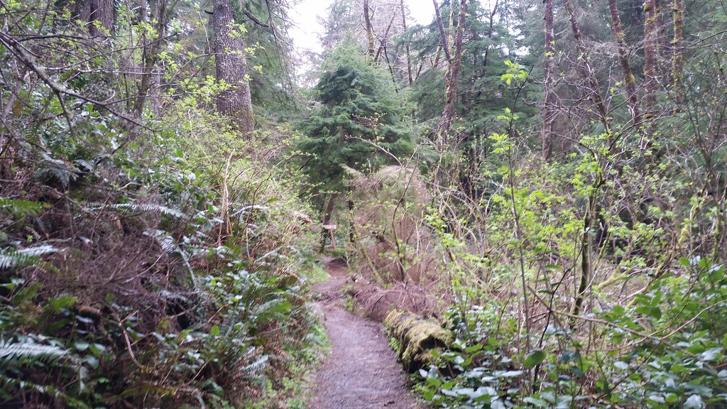 Lewis and Clark Discovery Trail - Oregon Coast TrailHiking · ~1h 1m drivePhoto: cifraser1, CC BY 2.0 (via Flickr)
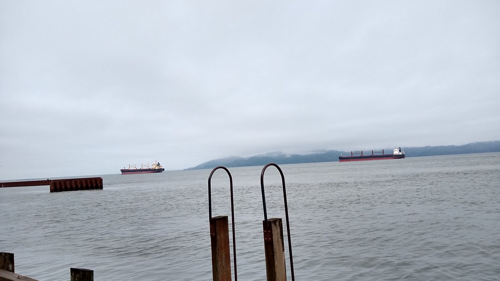 Astoria Riverwalk AlderbrookHiking · ~35 min drivePhoto: mjfmjfmjf, CC BY 2.0 (via Flickr)
- Canyon CreekHiking · ~27 min drive
 Shifting Sands Natural TrailHiking · ~47 min drivePhoto: Robert Ashworth from Bellingham, WA., USA, CC BY 2.0 (via Wikimedia Commons)
- Tenasillahe TrailHiking · ~46 min drive
 Ridge PathHiking · ~54 min drivePhoto: stevelyon, CC BY-SA 2.0 (via Flickr)
- Upper Gnat Creek TrailHiking · ~50 min drive
 Ridge PathHiking · ~55 min drivePhoto: Sam Beebe, CC BY 2.0 (via Flickr)
Best time to visit Non-Existant Swamp Trail
Best months: July–September. Best months have typical highs of 55–85 °F, lows of 30 °F or warmer (32 °F where the station doesn't record snow), at most one snowy day and no more than 12 wet days.
Jan
49° / 34°
22 wet · 1 snow
Feb
51° / 33°
19 wet
Mar
55° / 35°
22 wet
Apr
59° / 38°
20 wet
May
64° / 44°
16 wet
Jun
67° / 47°
14 wet
Jul
72° / 50°
8 wet
Aug
74° / 51°
7 wet
Sep
72° / 46°
11 wet
Oct
63° / 41°
17 wet
Nov
54° / 36°
21 wet
Dec
47° / 33°
23 wet · 1 snow
Typical high / low (°F) and days with rain or snow, 1991–2020. Measured at Naselle 2 Ene, WA, 9.9 mi away at 50 ft. Source: NOAA NCEI U.S. Climate Normals 1991–2020.

Map and trail data © OpenStreetMap contributors
