Fort to Sea Trail
 Photo: stevelyon, CC BY-SA 2.0 (via Flickr)
- 6.2 mi
- one way
- 409 ft
- climb
- 327 ft
- high point
- Point to point
- route
- Apr–Oct
- best months
Is Fort to Sea Trail open right now?
No closures listed
The National Park Service lists no closures for Lewis and Clark National Historical Park.
As of · Source: NPS · Lewis and Clark National Historical Park. Agencies don't list every closure — check before you go.
The Fort to Sea Trail is a 6.2-mile moderate hike in Lewis and Clark National Historical Park in Oregon, managed by the National Park Service. It starts in Sunset Beach, about half a mile away. The trail is a point-to-point route with a total elevation gain of 409 feet, and the high point reaches 327 feet. The steepest stretch comes at about 4.4 miles in, where the grade reaches 20 percent. The route has a total loss of 761 feet, which makes it a little more of a descent than a climb. Bikes are allowed, and a fee is charged. Summer and early fall are the most comfortable times to go. At a nearby weather station, typical average highs run from about 70°F in July through September, with lows near 50°F. That station sits a few hundred feet lower than the trail, so temperatures on the route run a little cooler. The trip takes about 2.5 hours. Nearby options include the Kwis Kwis Trail, the South Slough Trail and the Oregon Coast Trail, all within about 6 miles.
Local outfitters
- Snow Peak Campfield Long Beach17 mi away
- Ocean Park Camp & Retreat Center29 mi away
Not on Roamze yet. Their page has how to reach them.
Best time to go · Apr–Oct
Best time to visit Fort to Sea Trail
Best months: April–October. Best months have typical highs of 55–85 °F, lows of 30 °F or warmer (32 °F where the station doesn't record snow), at most one snowy day and no more than 12 wet days.
Jan
49° / 38°
Feb
51° / 37°
Mar
54° / 39°
Apr
58° / 41°
May
64° / 45°
Jun
67° / 49°
Jul
70° / 53°
Aug
71° / 53°
Sep
70° / 49°
Oct
61° / 45°
Nov
53° / 40°
Dec
49° / 37°
Typical high / low (°F) and days with rain or snow, 1991–2020. Measured at Ft Clatsop Natl Mem, OR, 4 mi away at 42 ft. This station doesn't record snowfall. Source: NOAA NCEI U.S. Climate Normals 1991–2020.
Keep exploring — more trails worth the drive
 Photo: stevelyon, CC BY-SA 2.0 (via Flickr)
Ridge Path
~8 min drive
0.74-mile out-and-back trail in Oregon with 121 ft elevation gain.
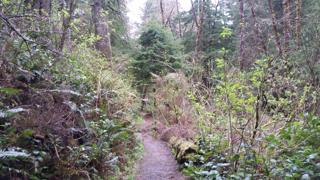 Photo: cifraser1, CC BY 2.0 (via Flickr)
Lewis and Clark Discovery Trail - Oregon Coast Trail
~15 min drive
7.44-mile out-and-back trail on Oregon Coast with 2,591 ft elevation gain
 Photo: mjfmjfmjf, CC BY 2.0 (via Flickr)
Clatsop Loop Trail - Oregon Coast Trail
~19 min drive
2.54-mile out-and-back on Oregon Coast Trail with 1,362 ft elevation gain
 Photo: mjfmjfmjf, CC BY 2.0 (via Flickr)
Arch Cape to Cape Falcon Trail
~37 min drive
8.26-mile out-and-back hike from Arch Cape to Cape Falcon in Oregon with 3,116 ft elevation gain
 Photo: Sam Beebe, CC BY 2.0 (via Flickr)
Ridge Path
~10 min drive
1.28-mile out-and-back ridge trail in Oregon with 77 ft of elevation gain.
 Photo: PennyLennox, CC BY 3.0 (via Wikimedia Commons)
Clatsop Loop Trail
~20 min drive
2.22-mile out-and-back trail in Oregon with 1,112 ft elevation gain/loss
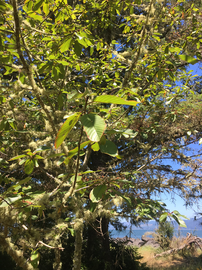 Photo: r.mcminds, CC BY 2.0 (via Flickr)
Jetty Trail
~13 min drive
1.04-mile out-and-back trail in Oregon with 44 ft elevation gain/loss
Photo: PennyLennox, CC BY 3.0 (via Wikimedia Commons)Indian Beach Trail
~20 min drive
3.6-mile out-and-back trail with 1,427 ft elevation gain in Oregon.
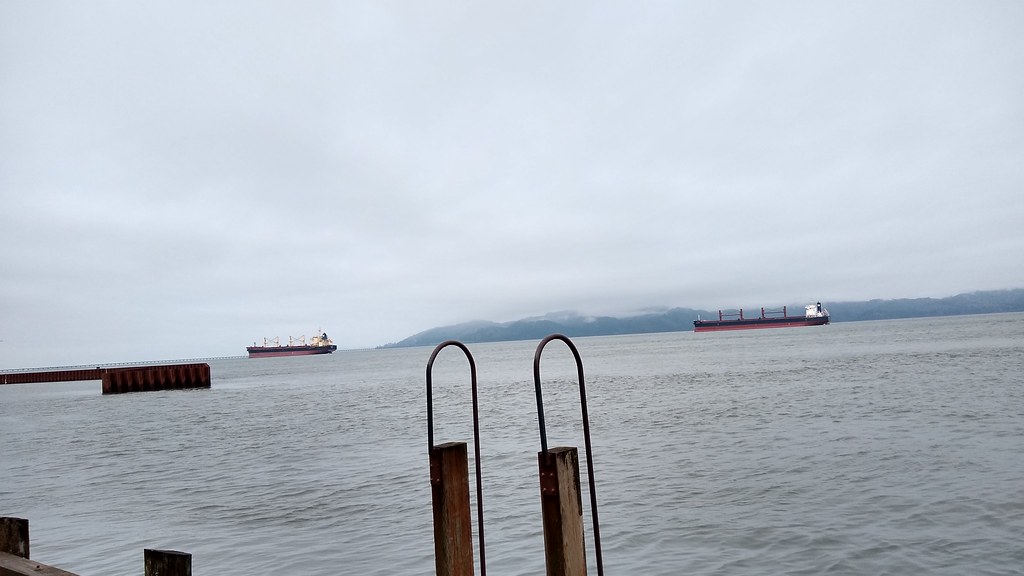 Photo: mjfmjfmjf, CC BY 2.0 (via Flickr)
Astoria Riverwalk Alderbrook
~17 min drive
0.9-mile out-and-back trail in Oregon with 102 ft of elevation gain.
 Photo: eugene_o, CC BY 2.0 (via Flickr)
Crescent Beach Trail
~22 min drive
2.12-mile out-and-back trail in Oregon with 1,749 ft elevation gain
Map and trail data © OpenStreetMap contributors
