Don Bonker Cedar Grove Trail
- 0.6 mi
- round trip
- 162 ft
- climb
- 177 ft
- high point
- Out and back
- route
- Jul–Aug
- best months
Don Bonker Cedar Grove Trail is a short, easy out-and-back hike on the Willapa National Wildlife Refuge in southwest Washington, managed by the U.S. Fish and Wildlife Service. The trail is about 0.6 miles long, with a total elevation gain of 162 feet, and the high point reaches about 177 feet. The route is gentle, with the steepest stretch at about 0.5 miles in, where the grade reaches about 5 percent. Summer is the most comfortable time to go. Typical averages from a nearby weather station show July and August highs in the mid-60s, with fewer wet days than the rest of the year. Winter is cool and damp, with highs in the upper 40s and rain on most days. The hike takes about half an hour, so it works well as a quick stop. For more time on foot, Parker Slough Trail is about 5 miles away. Paddlers can head to the South Nemah River, about 4.5 miles off, or Ellsworth Creek, about 4.8 miles away.
Local outfitters
- Ocean Park Camp & Retreat Center7 mi away
- Snow Peak Campfield Long Beach8 mi away
Not on Roamze yet. Their page has how to reach them.
- South Nemah RiverCanoeing4.5 mi
- Ellsworth CreekCanoeing4.8 mi
- Parker Slough TrailHiking5 mi
- Non-Existant Swamp TrailHiking5.4 mi
- Middle Nemah RiverCanoeing6.7 mi
- Snag Lake TrailHiking6.8 mi
- Bear RiverCanoeing6.9 mi
- North Nemah RiverCanoeing8.1 mi
Source: Roamze catalog (indexable pages within 10 miles, PostGIS distance)
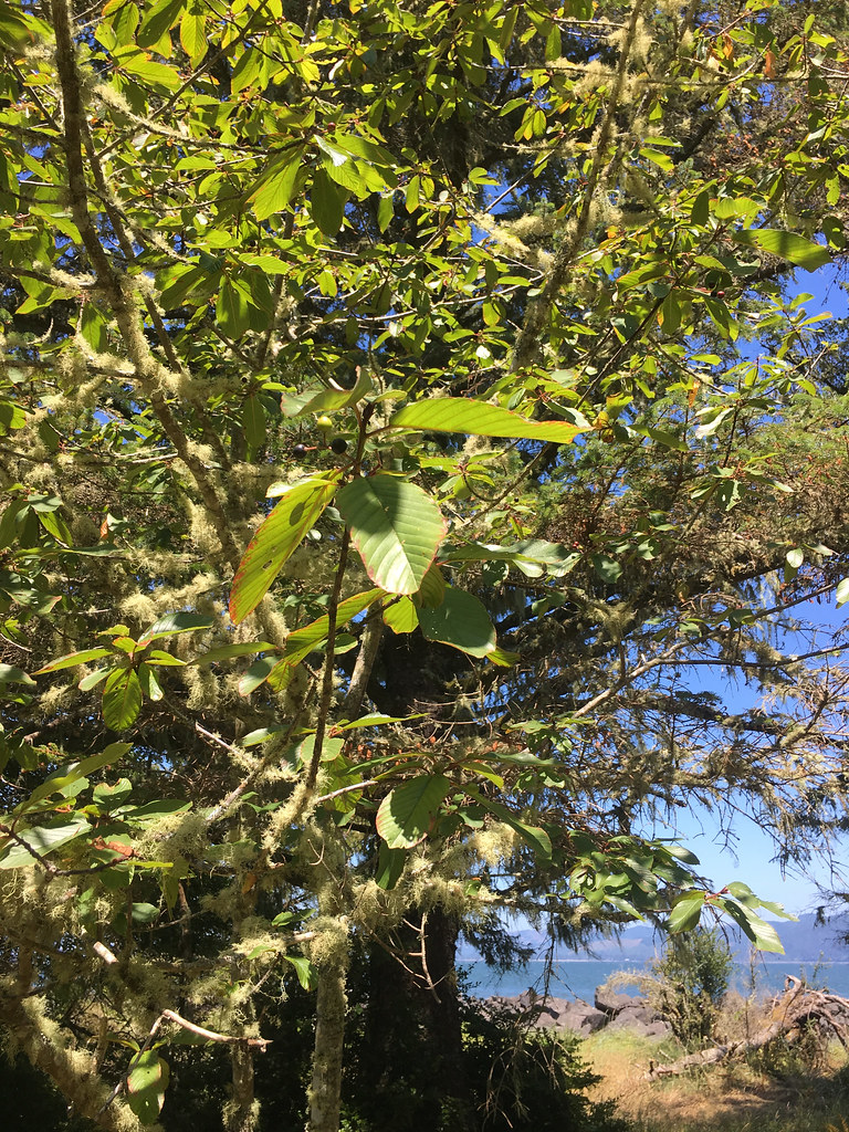 Jetty TrailHiking · ~27 min drivePhoto: r.mcminds, CC BY 2.0 (via Flickr)
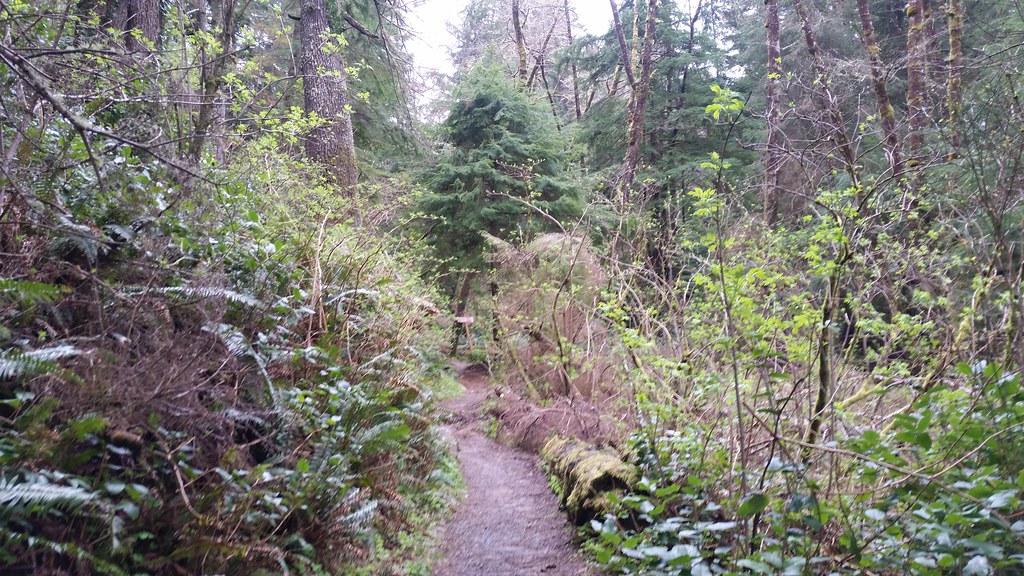 Lewis and Clark Discovery Trail - Oregon Coast TrailHiking · ~54 min drivePhoto: cifraser1, CC BY 2.0 (via Flickr)
 Clatsop Loop Trail - Oregon Coast TrailHiking · ~58 min drivePhoto: mjfmjfmjf, CC BY 2.0 (via Flickr)
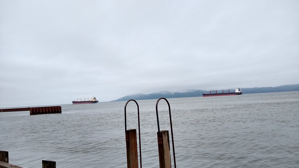 Astoria Riverwalk AlderbrookHiking · ~31 min drivePhoto: mjfmjfmjf, CC BY 2.0 (via Flickr)
 Clatsop Loop TrailHiking · ~59 min drivePhoto: PennyLennox, CC BY 3.0 (via Wikimedia Commons)
 Ridge PathHiking · ~47 min drivePhoto: stevelyon, CC BY-SA 2.0 (via Flickr)
- Indian Beach TrailHiking · ~60 min drivePhoto: PennyLennox, CC BY 3.0 (via Wikimedia Commons)
 Ridge PathHiking · ~49 min drivePhoto: Sam Beebe, CC BY 2.0 (via Flickr)
 Crescent Beach TrailHiking · ~1h 1m drivePhoto: eugene_o, CC BY 2.0 (via Flickr)
 Shifting Sands Natural TrailHiking · ~51 min drivePhoto: Robert Ashworth from Bellingham, WA., USA, CC BY 2.0 (via Wikimedia Commons)
Best time to visit Don Bonker Cedar Grove Trail
Best months: July–August. Best months have typical highs of 55–85 °F, lows of 30 °F or warmer (32 °F where the station doesn't record snow), at most one snowy day and no more than 12 wet days.
Jan
49° / 36°
23 wet
Feb
50° / 35°
19 wet
Mar
52° / 37°
23 wet
Apr
55° / 40°
20 wet
May
59° / 45°
16 wet
Jun
62° / 49°
14 wet
Jul
65° / 52°
11 wet
Aug
67° / 52°
12 wet
Sep
66° / 48°
13 wet
Oct
60° / 42°
19 wet
Nov
53° / 38°
21 wet
Dec
48° / 36°
23 wet
Typical high / low (°F) and days with rain or snow, 1991–2020. Measured at Long Beach Exp Stn, WA, 5.9 mi away at 25 ft. Source: NOAA NCEI U.S. Climate Normals 1991–2020.
Map and trail data © OpenStreetMap contributors
