
River's Edge RV Resort and Camping
Hiking business nearby (~15 mi away) — hasn't claimed their Roamze page yet
6.56-mile loop in Washington with 475 ft elevation gain.
Best months: June–September. Best months have typical highs of 55–85 °F, lows of 30 °F or warmer (32 °F where the station doesn't record snow), at most one snowy day and no more than 12 wet days.
Jan
50° / 34°
20 wet
Feb
54° / 33°
17 wet
Mar
56° / 35°
20 wet
Apr
61° / 38°
18 wet
May
67° / 43°
14 wet
Jun
70° / 46°
10 wet
Jul
77° / 50°
6 wet
Aug
77° / 50°
6 wet
Sep
74° / 46°
9 wet
Oct
64° / 40°
15 wet
Nov
55° / 36°
19 wet
Dec
49° / 34°
21 wet
Typical high / low (°F) and days with rain or snow, 1991–2020. Measured at Grays Rvr Hatchery, WA, 12.5 mi away at 100 ft. This station doesn't record snowfall. Source: NOAA NCEI U.S. Climate Normals 1991–2020.
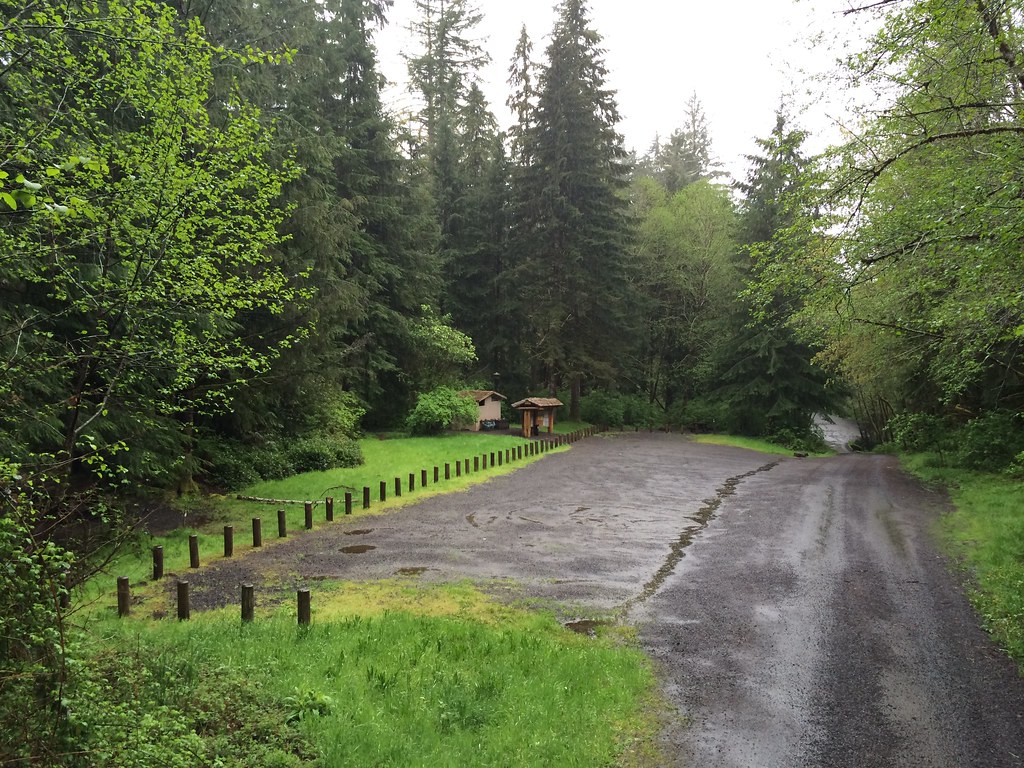
Tenasillahe Trail is a 6.6-mile loop on the Julia Butler Hansen Refuge For The Columbian White-Tailed Deer in Washington, managed by the U.S. Fish and Wildlife Service. The trail is rated moderate, and the route stays nearly flat, with a high point of 18 feet and a low of 11 feet. The steepest stretch comes at about 2.5 miles in, with a 5% grade. Summer is the most comfortable time to go. Typical averages from a nearby weather station show July and August highs around 77°F with only about six wet days a month, while winter months bring highs near 50°F and rain on most days. Nearby, Upper Gnat Creek Trail is about 3.7 miles away. Hunt Creek and Gnat Creek offer canoeing within about 5 miles, and West Fork Skamokawa Creek is about 6 miles off.
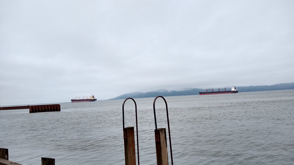 Photo: mjfmjfmjf, CC BY 2.0 (via Flickr)
Astoria Riverwalk Alderbrook
~27 min drive
0.9-mile out-and-back trail in Oregon with 102 ft of elevation gain.
 Photo: stevelyon, CC BY-SA 2.0 (via Flickr)
Fort to Sea Trail
~42 min drive
6.21-mile point-to-point trail in Oregon with 879 ft elevation gain.
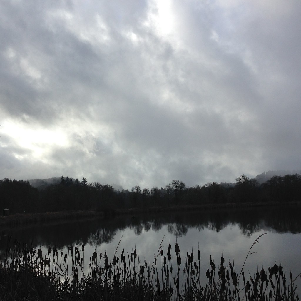 Photo: lexly87 aka Duc N. Ly, CC BY-SA 2.0 (via Flickr)
Crown Zellerbach Trail
~49 min drive
21.76-mile point-to-point hike in Oregon with 1,589 ft gain and 2,167 ft loss.
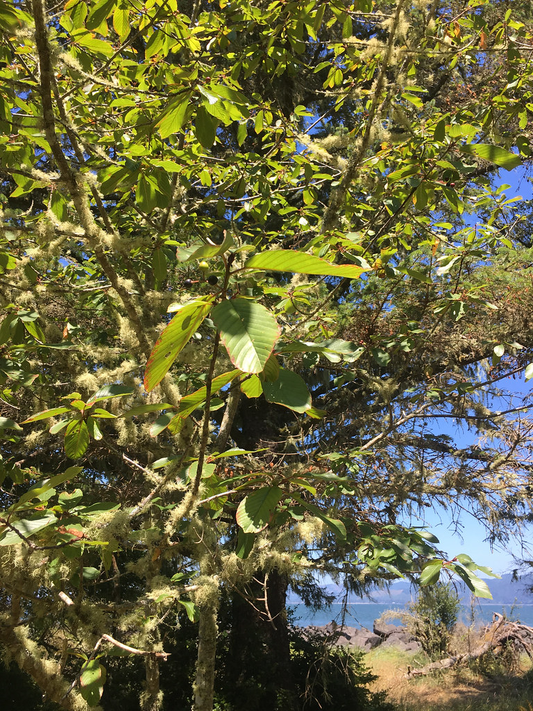 Photo: r.mcminds, CC BY 2.0 (via Flickr)
Jetty Trail
~42 min drive
1.04-mile out-and-back trail in Oregon with 44 ft elevation gain/loss
Upper Gnat Creek Trail
~6 min drive
4.54-mile out-and-back trail in Oregon with 1,366 ft elevation gain
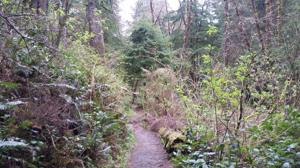 Photo: cifraser1, CC BY 2.0 (via Flickr)
Lewis and Clark Discovery Trail - Oregon Coast Trail
~50 min drive
7.44-mile out-and-back trail on Oregon Coast with 2,591 ft elevation gain
 Photo: stevelyon, CC BY-SA 2.0 (via Flickr)
Ridge Path
~43 min drive
0.74-mile out-and-back trail in Oregon with 121 ft elevation gain.
Canyon Creek
~37 min drive
2.42-mile out-and-back trail in Washington with 1,507 ft elevation gain
 Photo: Sam Beebe, CC BY 2.0 (via Flickr)
Ridge Path
~44 min drive
1.28-mile out-and-back ridge trail in Oregon with 77 ft of elevation gain.
Stillwater Truck Trail
~40 min drive
7.74-mile out-and-back trail in Washington with 1,688 ft elevation gain.
Outfitters and businesses. They haven’t set up their Roamze page yet.
River's Edge RV Resort and Camping
Hiking business nearby (~15 mi away) — hasn't claimed their Roamze page yet
Mt. St. Helens RV Park
Hiking business nearby (~29 mi away) — hasn't claimed their Roamze page yet
Snow Peak Campfield Long Beach
Hiking business nearby (~29 mi away) — hasn't claimed their Roamze page yet
