Greenleaf Trail
- 3.2 mi
- round trip
- 3,099 ft
- climb
- 2,941 ft
- high point
- Out and back
- route
Greenleaf Trail is a hard hike in Washington, managed by the State Department of Natural Resources. It is an out-and-back route of about 6.4 miles, with a total elevation gain of 3,099 feet. The trail starts and ends at 2,941 feet, and the high point is 2,941 feet, which makes the climb a steady one with no single summit to reach. The steepest stretch comes at about 3 miles in, where the grade reaches 26 percent. The trip takes about 3.5 hours. The trail is a long, steep climb, and the route is best suited for hikers who are prepared for a significant amount of elevation change over the course of the day. Snag Creek Trail and Three Corner Rock Trail-North are both within about a mile and a half. Rock Creek Cliff (aka Clif's Cliff) is about 1.9 miles away, and Beaver Campground is about 8.4 miles away.
Local outfitters
- Bike the Gorge9 mi away
- Wildwood Adventures35 mi away
Not on Roamze yet. Their page has how to reach them.
- Snag Creek TrailHiking1.2 mi
- Three Corner Rock Trail-NorthHiking1.4 mi
- Rock Creek Cliff (aka Clif's Cliff)Rock climbing1.9 mi
- North Section (Left Side)Rock climbing1.9 mi
- Rock CreekCanoeing2.9 mi
- Stebbins CreekCanoeing3.5 mi
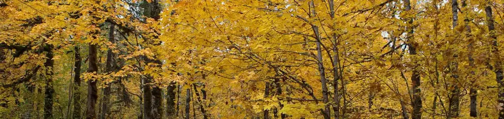 Beaver CampgroundCampingPhoto: Recreation.gov (RIDB) / public domain8.4 mi
- Govt Mineral Springs Guard StaCamping9.3 mi
Source: Roamze catalog (indexable pages within 10 miles, PostGIS distance)
 North Table Mountain TrailHiking · ~9 min drivePhoto: Ryan Snyder, CC BY 2.0 (via Wikimedia Commons)
- Table Mountain TrailHiking · ~9 min drivePhoto: Ryan Snyder, CC BY 2.0 (via Wikimedia Commons)
 West Hardy Ridge TrailHiking · ~13 min drivePhoto: Robert Ashworth from Bellingham, WA., USA, CC BY 2.0 (via Wikimedia Commons)
- Three Corner Rock TrailHiking · ~9 min drive
 West Table Mountain TrailHiking · ~10 min drivePhoto: Ryan Snyder, CC BY 2.0 (via Wikimedia Commons)
 Don's Cutoff TrailHiking · ~11 min drivePhoto: Robert Ashworth from Bellingham, WA., USA, CC BY 2.0 (via Wikimedia Commons)
 Hamilton Mountain TrailHiking · ~13 min drivePhoto: Robert Ashworth from Bellingham, WA., USA, CC BY 2.0 (via Wikimedia Commons)
- StarwayHiking · ~14 min drive
- Phlox Point TrailHiking · ~11 min drivePhoto: Robert Ashworth from Bellingham, WA., USA, CC BY 2.0 (via Wikimedia Commons)
- Loop TrailHiking · ~13 min drivePhoto: Robert Ashworth from Bellingham, WA., USA, CC BY 2.0 (via Wikimedia Commons)
Also worth it near here


Map and trail data © OpenStreetMap contributors
