Dougan Falls
- 651 ft
- elevation
- Jun–Sep
- best months
Dougan Falls is a waterfall in Washington, sitting at about 650 feet in elevation roughly 9 miles from the town of North Bonneville. It is a simple destination, a single waterfall rather than a route or a climb, and its low elevation makes it an easy stop to fit into a day of exploring the surrounding area. Summer is the most comfortable time to visit. Typical averages from a nearby weather station at Skamania Fish Hatchery show July and August highs around 79 to 80°F, with only five or six wet days a month. Winter is much wetter, with about 20 wet days a month from December through March. Several other outdoor spots lie within a few miles. Dougan Creek, a canoeing route, is about 1.7 miles away, and the Three Corner Rock Trail is about 2.4 miles off. Climbers can head to Central Pinnacle, about 3.9 miles away, and paddlers can try the West Fork Washougal River, about 3.8 miles away.
- Elevation
- 651 ft
Elevation from USGS 3D Elevation Program terrain data (about 10 m resolution).
- Dougan CreekCanoeing1.7 mi
- Three Corner Rock TrailHiking2.4 mi
- West Fork Washougal RiverCanoeing3.8 mi
- Central PinnacleRock climbing3.9 mi
- Chimney RocksRock climbing3.9 mi
- Stebbins CreekCanoeing4 mi
- Quiver Point TrailHiking4.3 mi
- AlpenGlow (aka Upper Kueffler Road Boulders)Rock climbing4.3 mi
Source: Roamze catalog (indexable pages within 10 miles, PostGIS distance)
 Multnomah FallsWaterfall · ~12 min drivePhoto: John Fowler from Placitas, NM, USA, CC BY 2.0 (via Wikimedia Commons)
 Wahkeena FallsWaterfall · ~12 min drivePhoto: Wahkeenah at English Wikipedia, Public domain (via Wikimedia Commons)
 Wiesendanger FallsWaterfall · ~12 min drivePhoto: Mattsjc, CC BY-SA 4.0 (via Wikimedia Commons)
 Coopey FallsWaterfall · ~13 min drivePhoto: Visitor7, CC BY-SA 3.0 (via Wikimedia Commons)
 Elowah FallsWaterfall · ~15 min drivePhoto: Walter Siegmund (talk), CC BY-SA 3.0 (via Wikimedia Commons)
 Latourell FallsWaterfall · ~17 min drivePhoto: Steven Pavlov, CC BY-SA 4.0 (via Wikimedia Commons)
 Ramona FallsWaterfall · ~47 min drivePhoto: Howard Kang, CC BY-SA 2.0 (via Wikimedia Commons)
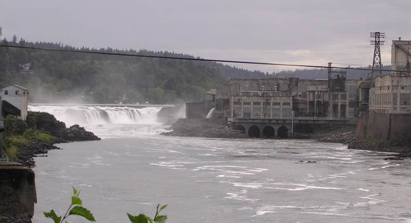 Willamette FallsWaterfall · ~55 min drivePhoto: The original uploader was Cacophony at English Wikipedia., CC BY-SA 3.0 (via Wikimedia Commons)
 Bridal Veil FallsWaterfall · ~14 min drivePhoto: SarahMcD, CC BY 2.0 (via Wikimedia Commons)
 Metlako FallsWaterfall · ~22 min drivePhoto: Steve Berardi, CC BY-SA 2.0 (via Wikimedia Commons)
Best time to visit Dougan Falls
Best months: June–September. Best months have typical highs of 55–85 °F, lows of 30 °F or warmer (32 °F where the station doesn't record snow), at most one snowy day and no more than 12 wet days.
Jan
44° / 33°
20 wet · 1 snow
Feb
48° / 33°
17 wet · 1 snow
Mar
54° / 35°
20 wet · 1 snow
Apr
59° / 38°
19 wet
May
67° / 43°
15 wet
Jun
71° / 47°
11 wet
Jul
79° / 50°
6 wet
Aug
80° / 50°
5 wet
Sep
74° / 46°
9 wet
Oct
62° / 41°
15 wet
Nov
51° / 37°
19 wet
Dec
44° / 33°
21 wet · 1 snow
Typical high / low (°F) and days with rain or snow, 1991–2020. Measured at Skamania Fish Hatchery, WA, 4.7 mi away at 435 ft. Source: NOAA NCEI U.S. Climate Normals 1991–2020.


