Snag Creek Trail
- 2.8 mi
- round trip
- 1,920 ft
- climb
- 3,264 ft
- high point
- Out and back
- route
Snag Creek Trail is a moderate out-and-back hike in Washington, managed by the State Department of Natural Resources. It rises from 1,565 feet to a high point of 3,264 feet, a total climb of about 1,920 feet, over a round-trip distance of about 5.6 miles. The steepest stretch comes early, around the 0.9 mile mark, where the trail reaches a 30% grade, and the climb is rolling rather than a single continuous ascent. The route is a full-day outing, taking about three hours to complete. It makes an easy anchor for a longer trip. The nearest neighbors are Greenleaf Trail and Rock Creek Cliff (aka Clif's Cliff), both about 1.2 miles away, with Sedum Ridge Trail at 1.9 miles. Beaver Campground sits about 7 miles off for those who want to stay overnight.
Local outfitters
- Bike the Gorge10 mi away
- Wildwood Adventures36 mi away
Not on Roamze yet. Their page has how to reach them.
- Greenleaf TrailHiking1.2 mi
- Rock Creek Cliff (aka Clif's Cliff)Rock climbing1.2 mi
- North Section (Left Side)Rock climbing1.2 mi
- Sedum Ridge TrailHiking1.9 mi
- Rock CreekCanoeing2.5 mi
- Layout CreekCanoeing3.7 mi
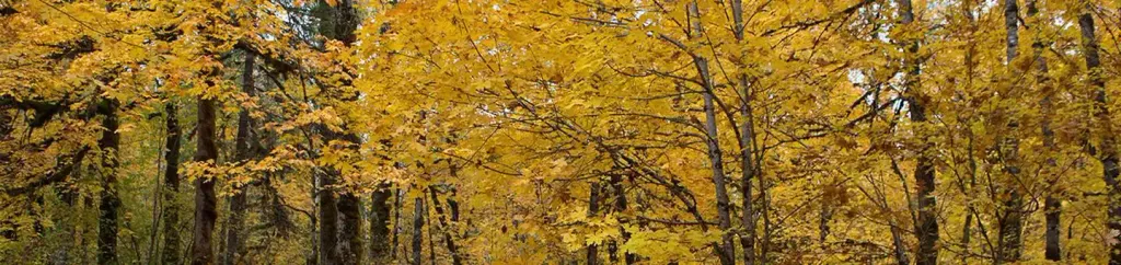 Beaver CampgroundCampingPhoto: Recreation.gov (RIDB) / public domain7.2 mi
- Govt Mineral Springs Guard StaCamping8.2 mi
Source: Roamze catalog (indexable pages within 10 miles, PostGIS distance)
 North Table Mountain TrailHiking · ~10 min drivePhoto: Ryan Snyder, CC BY 2.0 (via Wikimedia Commons)
- Table Mountain TrailHiking · ~10 min drivePhoto: Ryan Snyder, CC BY 2.0 (via Wikimedia Commons)
 West Hardy Ridge TrailHiking · ~14 min drivePhoto: Robert Ashworth from Bellingham, WA., USA, CC BY 2.0 (via Wikimedia Commons)
- Three Corner Rock TrailHiking · ~11 min drive
 Bunker HillHiking · ~10 min drivePhoto: Ken Lund from Reno, Nevada, USA, CC BY-SA 2.0 (via Wikimedia Commons)
 Don's Cutoff TrailHiking · ~13 min drivePhoto: Robert Ashworth from Bellingham, WA., USA, CC BY 2.0 (via Wikimedia Commons)
 Soda Peaks LakeHiking · ~15 min drivePhoto: Greg Willis from Denver, CO, usa, CC BY-SA 2.0 (via Wikimedia Commons)
- Trapper Creek Trail #192.2Hiking · ~14 min drive
 West Table Mountain TrailHiking · ~11 min drivePhoto: Ryan Snyder, CC BY 2.0 (via Wikimedia Commons)
- Loop TrailHiking · ~14 min drivePhoto: Robert Ashworth from Bellingham, WA., USA, CC BY 2.0 (via Wikimedia Commons)
Also worth it near here
 Greenleaf PeakSummit · ~8 min drivePhoto: Walter Siegmund (talk), CC BY-SA 3.0 (via Wikimedia Commons)
 Washougal RiverCanoeing · ~8 min drivePhoto: Leslie butler, CC BY 2.0 (via Wikimedia Commons)
- Beaver CampgroundCamping · ~12 min drive
- Bluff MountainMountain biking · ~13 min drive
- Bowles LakesLake fishing · ~14 min drive
Map and trail data © OpenStreetMap contributors
